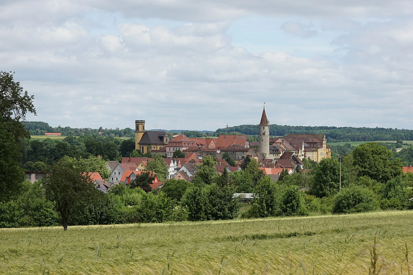
Wassertretstelle Wendelsberg via Bad Peterstal Breitenberg and Renchtalweg
Download
Preview
Add to list
More
14.9 km
~4 hrs 20 min
816 m
Loop
“Discover lush forests, historic landmarks, and stunning vistas on this moderately challenging 15 km loop trail.”
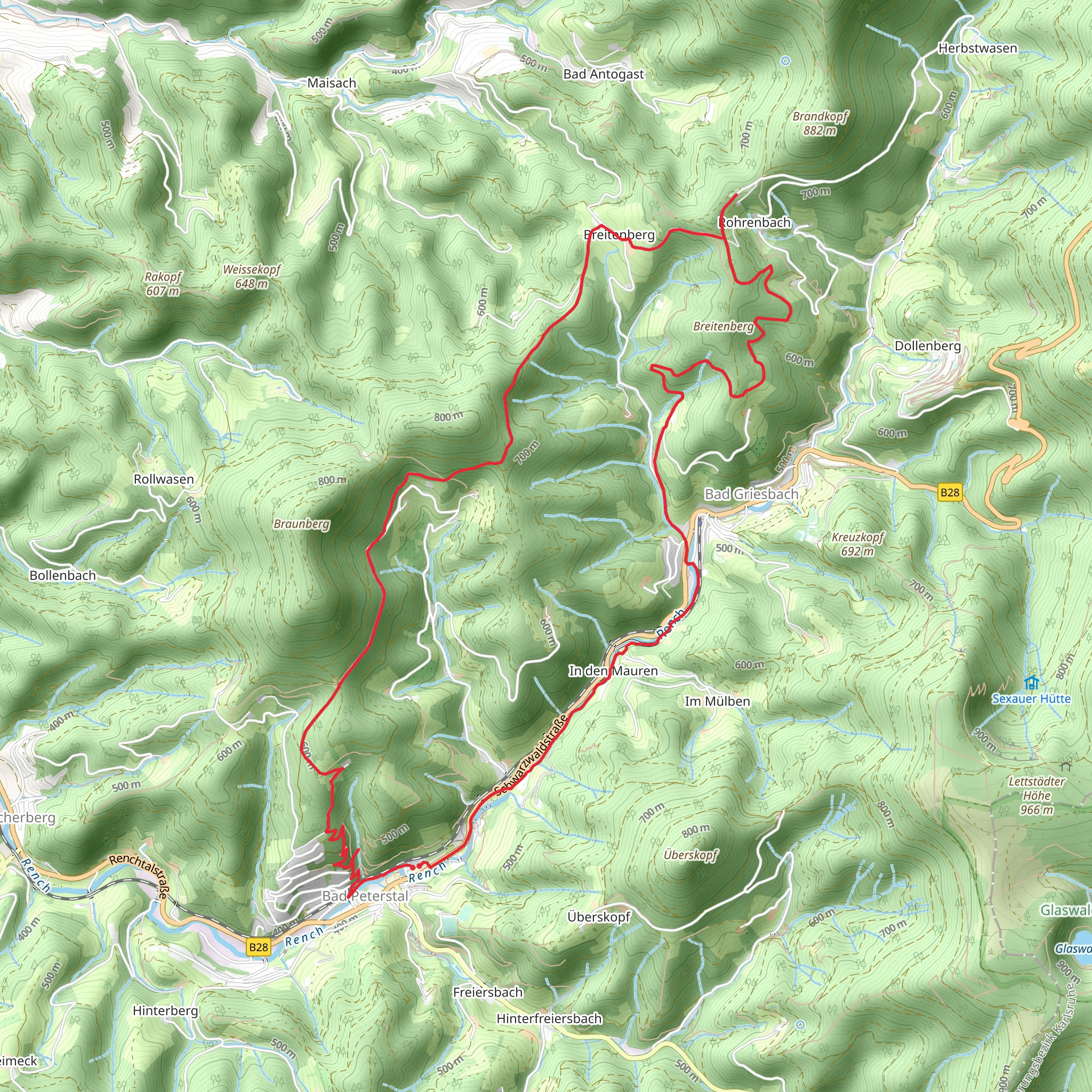
Starting near Ortenaukreis, Germany, this 15 km (approximately 9.3 miles) loop trail offers a moderate challenge with an elevation gain of around 800 meters (about 2,625 feet). The trailhead is conveniently located near the town of Bad Peterstal-Griesbach, which can be accessed by car or public transport. If you're driving, there are parking facilities available in Bad Peterstal-Griesbach. For those using public transport, the town is well-connected by regional trains and buses, making it an accessible starting point for your adventure.
Initial Ascent and Scenic Views
The trail begins with a steady ascent through lush forests, providing a serene and shaded environment. As you climb, you'll encounter a variety of flora, including dense pine and beech trees. The initial 3 km (1.9 miles) will take you up approximately 300 meters (984 feet) in elevation, offering glimpses of the surrounding valleys and distant hills.
Bad Peterstal Breitenberg
Around the 5 km (3.1 miles) mark, you'll reach the Breitenberg area. This section of the trail is known for its panoramic views of the Renchtal Valley. Take a moment to rest and enjoy the scenery. The Breitenberg is also home to several historical landmarks, including remnants of old farmhouses and traditional Black Forest architecture. This area is a great spot for photography, so have your camera ready.
Renchtalweg and Wildlife
Continuing along the Renchtalweg, the trail gradually descends through mixed forests and open meadows. This part of the trail is rich in wildlife; keep an eye out for deer, foxes, and a variety of bird species. The Renchtalweg is well-marked, but it's always a good idea to have a reliable navigation tool like HiiKER to ensure you stay on track.
Wassertretstelle Wendelsberg
As you approach the 10 km (6.2 miles) point, you'll come across the Wassertretstelle Wendelsberg, a traditional water-treading basin. This is a perfect spot to cool your feet and take a refreshing break. The practice of water-treading is a part of the region's wellness culture, believed to improve circulation and invigorate the body.
Final Descent and Return
The final 5 km (3.1 miles) of the trail will take you back towards Bad Peterstal-Griesbach. This section is mostly downhill, making for a pleasant and less strenuous end to your hike. You'll pass through more forested areas and cross a few small streams, adding to the trail's natural charm.
Historical Significance
The Ortenaukreis region has a rich history dating back to Roman times. The trail itself passes through areas that were once significant trade routes. The traditional Black Forest houses and old farmsteads you encounter along the way offer a glimpse into the region's past, reflecting centuries of agricultural and cultural heritage.
Getting There
To reach the trailhead, you can drive to Bad Peterstal-Griesbach, where parking is available. If you're using public transport, regional trains and buses connect to the town, making it a convenient starting point. The nearest major city is Offenburg, from where you can catch a direct train to Bad Peterstal-Griesbach.
This trail offers a blend of natural beauty, historical landmarks, and moderate physical challenge, making it a rewarding experience for hikers of all levels.
What to expect?
Activity types
Comments and Reviews
User comments, reviews and discussions about the Wassertretstelle Wendelsberg via Bad Peterstal Breitenberg and Renchtalweg, Germany.
4.5
average rating out of 5
2 rating(s)
