Download
Preview
Add to list
More
10.6 km
~3 hrs 24 min
776 m
Loop
“Explore the scenic Rench Valley with this 11 km hike featuring forests, historical sites, and panoramic views.”
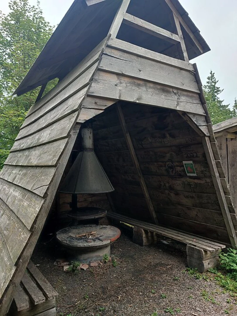
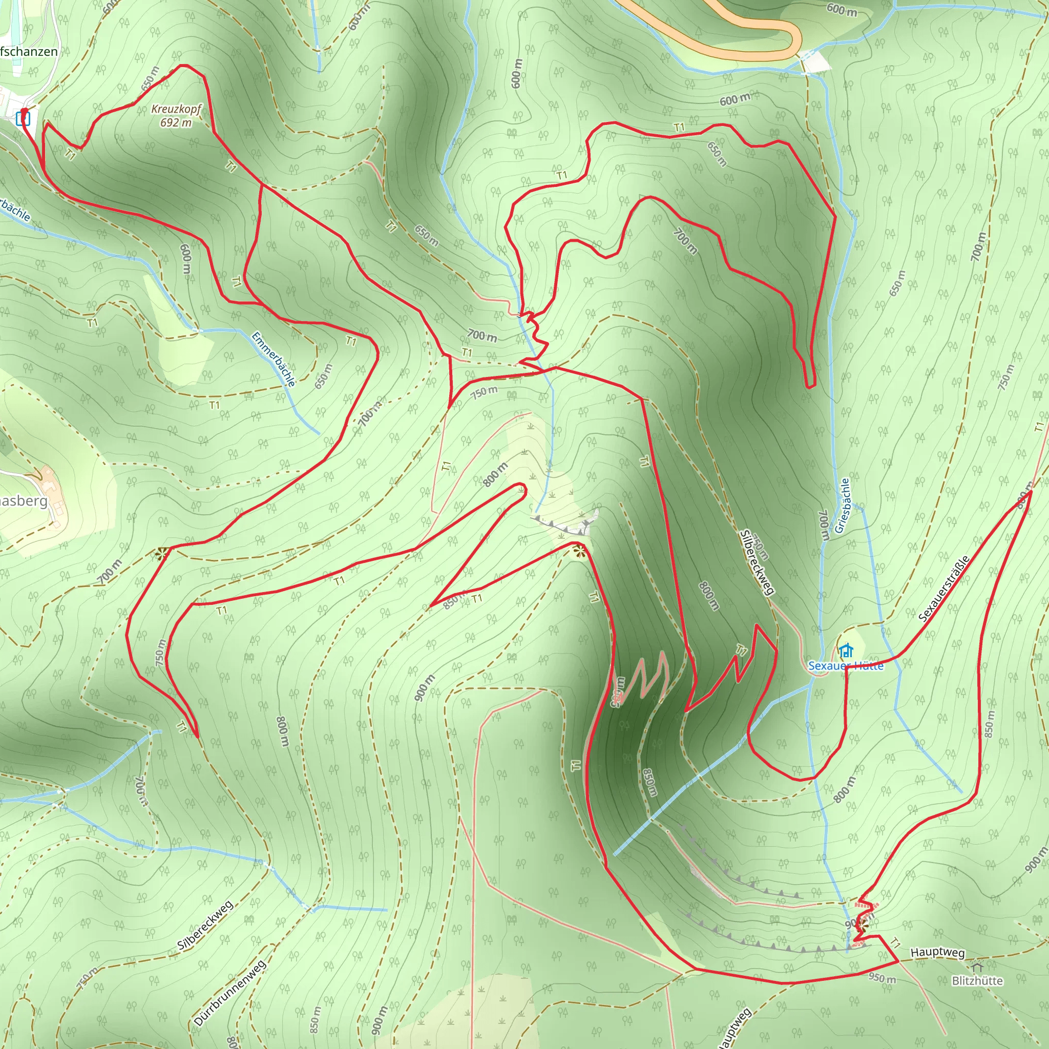
Starting near Ortenaukreis, Germany, this 11 km (approximately 6.8 miles) loop trail offers a medium difficulty hike with an elevation gain of around 700 meters (approximately 2,297 feet). The trailhead is easily accessible by car or public transport. If you're driving, you can park near the town of Oppenau, which is well-signposted and offers ample parking. For those using public transport, take a train to Oppenau station and then a short bus ride to the trailhead.### Initial Ascent and Forested PathwaysThe hike begins with a steady ascent through dense, mixed forests. The initial climb is about 3 km (1.9 miles) and gains approximately 300 meters (984 feet) in elevation. This section is shaded and cool, making it a pleasant start even on warmer days. Keep an eye out for native wildlife such as deer and various bird species. The forest floor is often carpeted with ferns and wildflowers, adding to the scenic beauty.### Historical SignificanceAs you continue, you'll come across remnants of historical significance. The region has a rich history dating back to medieval times. Look for old boundary stones and ruins of ancient structures that hint at the area's past. These landmarks are often accompanied by informational plaques that provide context and historical background.### Midpoint: Emmersbach SilbereckAround the 5 km (3.1 miles) mark, you'll reach Emmersbach Silbereck. This is a great spot to take a break and enjoy the panoramic views of the Rench Valley. The elevation here is about 600 meters (1,968 feet), offering a vantage point to appreciate the surrounding landscape. The area is named after the Emmersbach stream and the Silbereck peak, both of which are significant natural features in the region.### Descent and Open MeadowsThe descent begins after Emmersbach Silbereck and is approximately 6 km (3.7 miles) long, with an elevation loss of around 400 meters (1,312 feet). This section of the trail opens up into meadows and fields, providing a stark contrast to the forested ascent. The meadows are often dotted with grazing livestock and seasonal wildflowers, making it a picturesque part of the hike.### Navigation and SafetyFor navigation, it's highly recommended to use the HiiKER app, which provides detailed maps and real-time updates. The trail is well-marked, but having a reliable navigation tool can enhance your hiking experience and ensure you stay on track.### Final Stretch and ReturnThe final stretch of the trail loops back towards the starting point near Ortenaukreis. This section is relatively flat and easy, allowing you to cool down and reflect on the hike. The entire loop takes about 4-5 hours to complete, depending on your pace and the number of breaks you take.### Flora and FaunaThroughout the hike, you'll encounter a variety of flora and fauna. The mixed forests are home to oak, beech, and pine trees, while the meadows support a range of grasses and wildflowers. Wildlife sightings may include deer, foxes, and a variety of bird species, making it a rewarding experience for nature enthusiasts.This trail offers a balanced mix of natural beauty, historical landmarks, and moderate physical challenge, making it a perfect day hike for those looking to explore the scenic Rench Valley region.
Comments and Reviews
User comments, reviews and discussions about the Renchtalsweg and Emmersbach Silbereck, Germany.
4.0
average rating out of 5
1 rating(s)

