Download
Preview
Add to list
More
11.9 km
~3 hrs 51 min
885 m
Loop
“Enjoy a moderately challenging 12 km loop through dense forests, rock formations, and the scenic Renchtal Valley.”
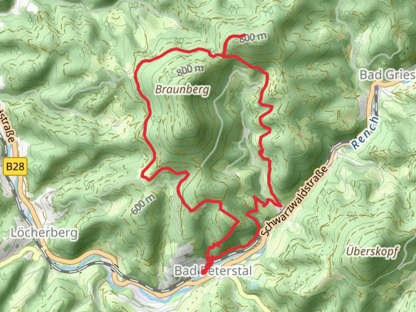
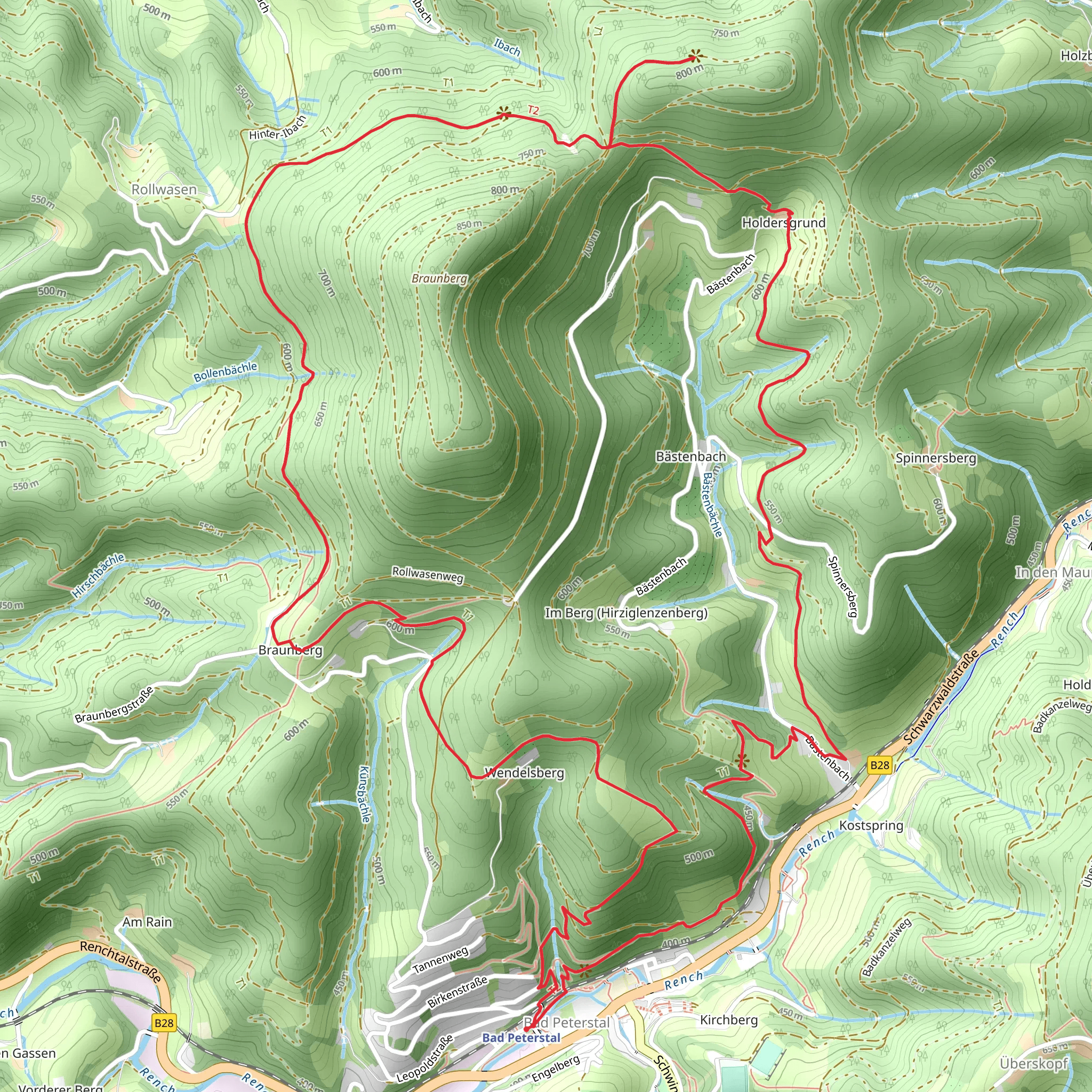
Starting near Ortenaukreis, Germany, this 12 km (7.5 miles) loop trail offers a moderate challenge with an elevation gain of approximately 800 meters (2,625 feet). The trailhead is conveniently accessible by both public transport and car. If you're traveling by public transport, you can take a train to the nearest station in Oberkirch and then a local bus to the trailhead. For those driving, parking is available near the starting point.
Trail Overview
The trail begins with a gentle ascent through dense forests, offering a serene start to your hike. As you progress, the path becomes steeper, leading you to the first significant landmark, the Bollenbacher Schliff. This rock formation provides a stunning viewpoint, perfect for a short break and some photographs.
Renchtal Valley
Continuing on, you'll descend into the Renchtal Valley. This section of the trail is relatively flat and allows you to enjoy the lush greenery and the sound of the Rench River flowing nearby. The valley is home to a variety of wildlife, including deer and numerous bird species, so keep your eyes peeled.
Ibacher Schliff
The next major ascent takes you to the Ibacher Schliff, another impressive rock formation. This part of the trail is more challenging, with a steeper incline and rocky terrain. However, the effort is well worth it as the Ibacher Schliff offers panoramic views of the surrounding Black Forest region.
Historical Significance
The area around Ortenaukreis has a rich history dating back to Roman times. The Renchtal Valley was historically significant for its strategic location and fertile lands. You might come across remnants of old Roman roads and settlements, adding a historical dimension to your hike.
Navigation and Safety
Given the varied terrain and elevation changes, it's advisable to use a reliable navigation tool like HiiKER to stay on track. The trail is well-marked, but having a digital map can be very helpful, especially in the more remote sections.
Flora and Fauna
The trail is a haven for nature enthusiasts. You'll encounter a diverse range of flora, from towering pine trees to colorful wildflowers. The fauna is equally impressive, with opportunities to spot deer, foxes, and a variety of bird species.
Final Stretch
The final stretch of the trail loops back towards the starting point, offering a mix of downhill and flat sections. This part of the hike is less strenuous, allowing you to relax and enjoy the natural beauty around you.
Getting Back
Once you complete the loop, you can easily return to Oberkirch via the same bus route or head back to your parked car. If you have time, consider exploring the charming town of Oberkirch, known for its vineyards and historic architecture.
What to expect?
Activity types
Comments and Reviews
User comments, reviews and discussions about the Renchtal and Ibacher Schliff via Bollenbacher Schliff, Germany.
4.5
average rating out of 5
6 rating(s)
