Download
Preview
Add to list
More
10.1 km
~3 hrs 14 min
739 m
Loop
“Experience the Himmelssteig trail's panoramic views, waterfalls, and historical sites on a moderately challenging 10 km loop.”
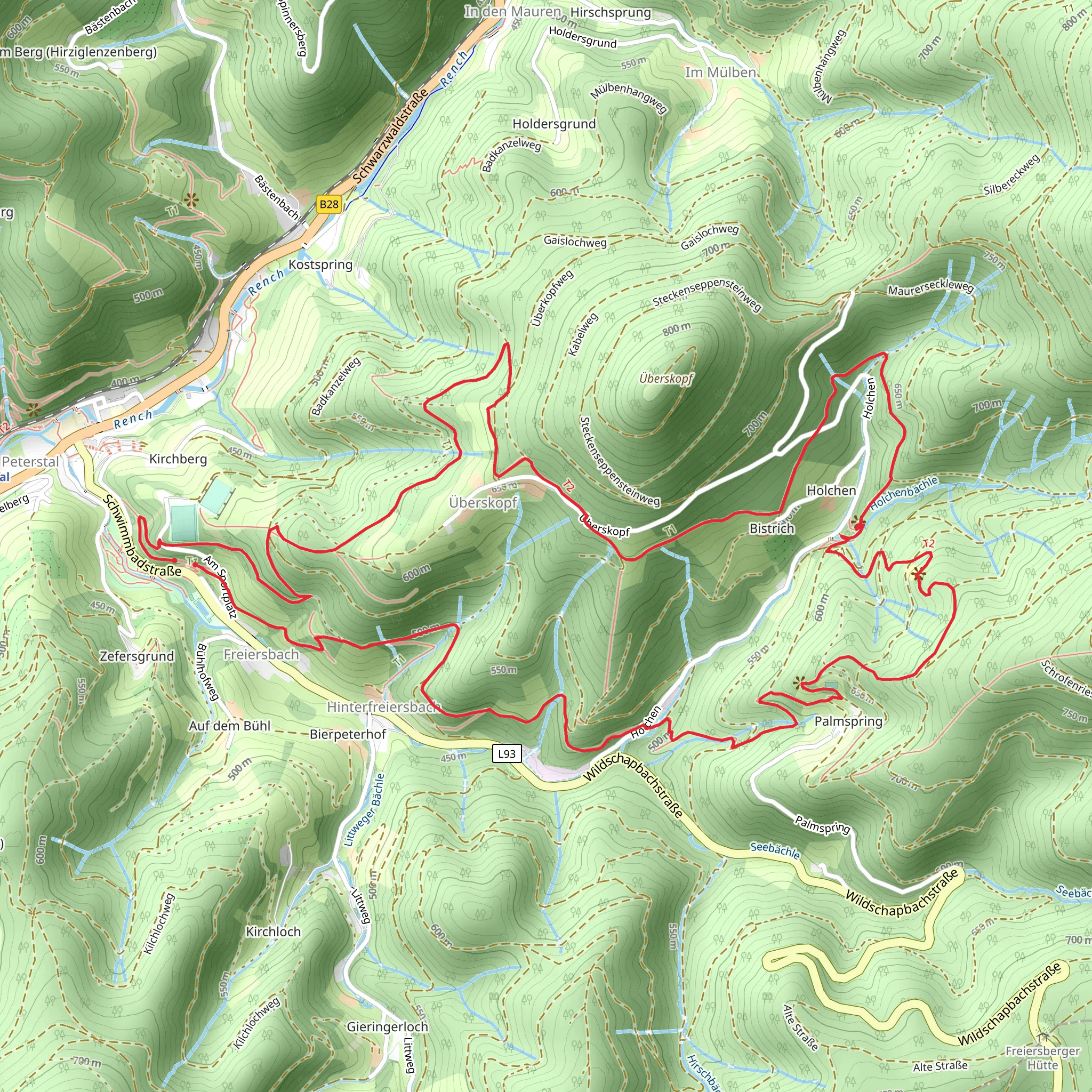
Starting near Ortenaukreis, Germany, the Geniesserpfad - Himmelssteig is a captivating loop trail that spans approximately 10 km (6.2 miles) with an elevation gain of around 700 meters (2,297 feet). This trail is rated as medium difficulty, making it suitable for moderately experienced hikers.
Getting There To reach the trailhead, you can drive or use public transport. If driving, set your GPS to Ortenaukreis, Germany, and look for parking near the trailhead. For those using public transport, the nearest significant landmark is the town of Bad Peterstal-Griesbach. From there, local buses or a short taxi ride can take you to the starting point.
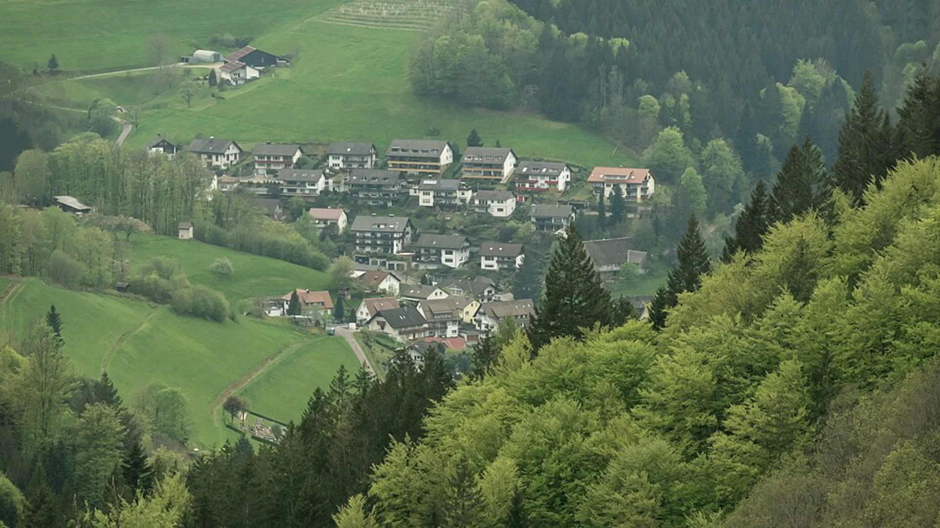
Trail Overview The trail begins with a gentle ascent through lush forests, offering a serene atmosphere filled with the sounds of chirping birds and rustling leaves. As you progress, the path becomes steeper, leading you to panoramic viewpoints that offer breathtaking vistas of the Black Forest region.
Key Landmarks and Points of Interest - **Panoramic Viewpoints**: Around the 3 km (1.9 miles) mark, you'll encounter the first of several panoramic viewpoints. These spots provide stunning views of the surrounding valleys and hills, perfect for a short rest and some photography. - **Waterfalls**: At approximately 5 km (3.1 miles), you'll come across a series of small waterfalls. The sound of cascading water adds a refreshing element to your hike. - **Historical Sites**: The region is rich in history, and you'll pass by remnants of old farmhouses and mills that date back several centuries. These sites offer a glimpse into the area's past and are often accompanied by informational plaques.
Flora and Fauna The trail is abundant with diverse flora and fauna. Depending on the season, you might see wildflowers like orchids and lilies. The forested areas are home to various wildlife, including deer, foxes, and a variety of bird species. Keep an eye out for the European Green Woodpecker and the Eurasian Jay, both commonly spotted along the trail.
Navigation and Safety Given the trail's moderate difficulty, it's advisable to use a reliable navigation tool like HiiKER to stay on track. The trail is well-marked, but having a digital map can be reassuring, especially in areas where the path might be less distinct.
Elevation and Terrain The elevation gain of around 700 meters (2,297 feet) is spread throughout the trail, with some steep sections that require careful footing. The terrain varies from well-trodden paths to rocky sections, so sturdy hiking boots are recommended.
Weather Considerations Weather in the Black Forest can be unpredictable. It's wise to check the forecast before you set out and pack accordingly. Layers are recommended, as temperatures can vary significantly throughout the day.
Amenities and Facilities There are several rest areas along the trail equipped with benches and picnic spots. Near the trailhead and in Bad Peterstal-Griesbach, you'll find cafes and restaurants where you can enjoy local cuisine before or after your hike.
This trail offers a perfect blend of natural beauty, historical intrigue, and moderate physical challenge, making it a rewarding experience for those who venture onto its paths.
Comments and Reviews
User comments, reviews and discussions about the Geniesserpfad - Himmelssteig, Germany.
4.25
average rating out of 5
8 rating(s)

