Download
Preview
Add to list
More
7.3 km
~1 hrs 32 min
52 m
Loop
“Explore a serene 7 km loop near Oberhavel, blending natural beauty and rich history.”
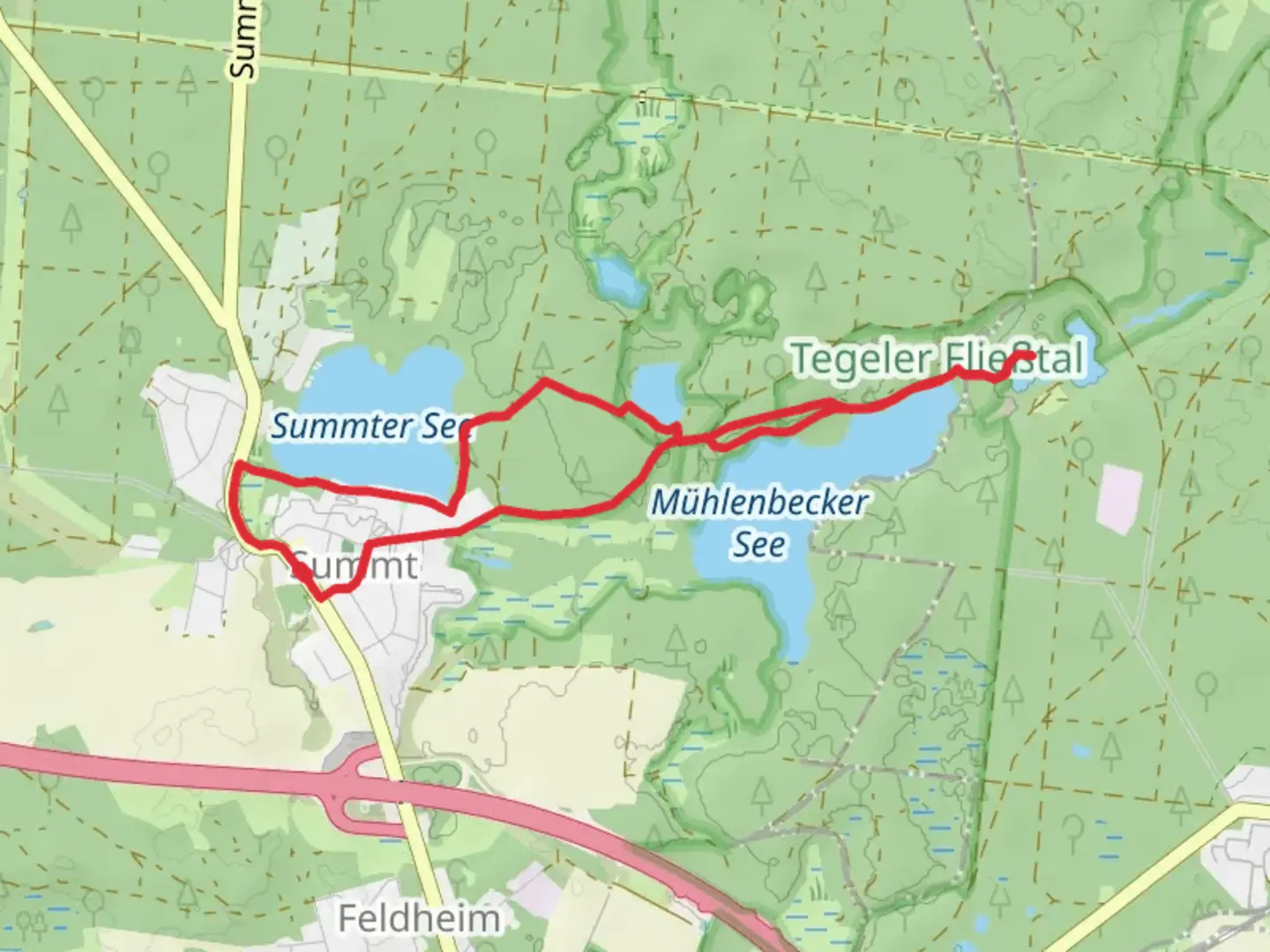
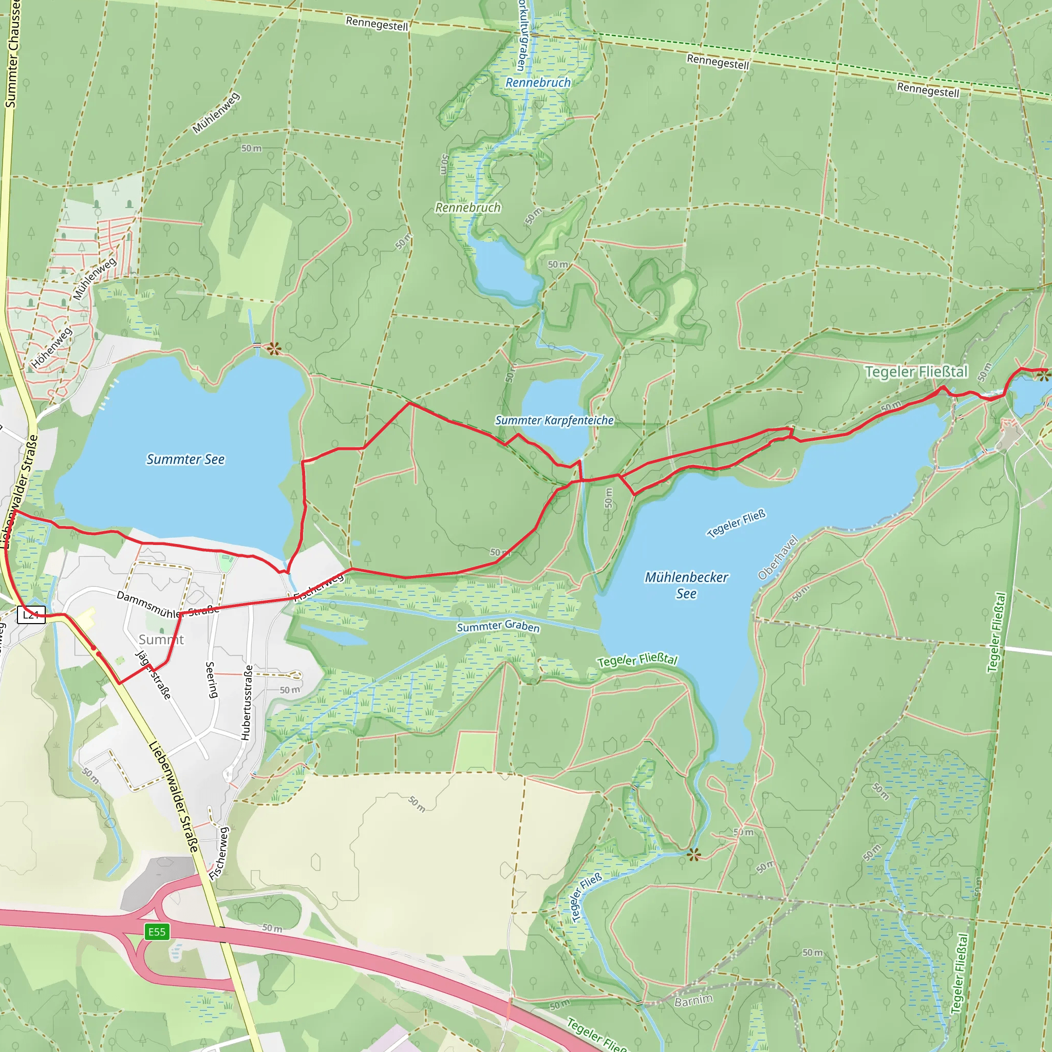
Nestled in the picturesque region near Oberhavel, Germany, this 7 km (approximately 4.3 miles) loop trail offers a serene escape into nature with virtually no elevation gain, making it accessible for hikers of varying skill levels. The trail weaves through a landscape rich in natural beauty and historical intrigue, providing a delightful journey for those seeking both relaxation and exploration.
Getting There
To reach the trailhead, travelers can opt for public transport or drive. If you choose public transport, the nearest major city is Berlin. From Berlin, take a regional train to the station in Mühlenbeck-Mönchmühle, which is conveniently located near the trailhead. For those driving, the trailhead is easily accessible via the A10 motorway, with parking available near the starting point.
Trail Highlights
As you embark on this loop, you'll be greeted by the tranquil waters of Summter See, Mühlenbecker See, and Mühlenteich. These lakes are the heart of the trail, offering stunning reflections of the surrounding forest and sky. The trail meanders along their shores, providing ample opportunities for birdwatching and photography. Keep an eye out for local wildlife, including various species of waterfowl and small mammals that inhabit the area.
Nature and Wildlife
The trail is enveloped by lush woodlands, home to a diverse array of flora and fauna. In spring and summer, the forest floor is carpeted with wildflowers, while autumn brings a vibrant display of foliage. The lakes themselves are a haven for aquatic life, and you might spot fish darting beneath the surface or frogs basking on the banks.
Historical Significance
The region around Oberhavel is steeped in history, with remnants of its past subtly woven into the landscape. The nearby village of Mühlenbeck has roots dating back to the medieval period, and the area was historically significant for its milling industry, as suggested by the name "Mühlenteich," which translates to "Mill Pond." While hiking, you may come across old millstones or foundations, silent witnesses to the industrious past of the region.
Navigation and Safety
For navigation, the HiiKER app is an excellent tool to ensure you stay on track and make the most of your hike. The trail is well-marked, but having a digital map can provide additional peace of mind. As always, it's wise to carry water, snacks, and a basic first-aid kit, especially if you plan to take breaks and enjoy the scenery.
This trail offers a perfect blend of natural beauty and historical charm, making it a rewarding experience for those who venture along its path.
Comments and Reviews
User comments, reviews and discussions about the Summter See, Mühlenbecker See and Mühlenteich, Germany.
4.67
average rating out of 5
3 rating(s)
