Download
Preview
Add to list
More
9.8 km
~3 hrs 28 min
910 m
Loop
“Trek the challenging Stuiben trail for stunning alpine vistas and a taste of Bavarian history.”
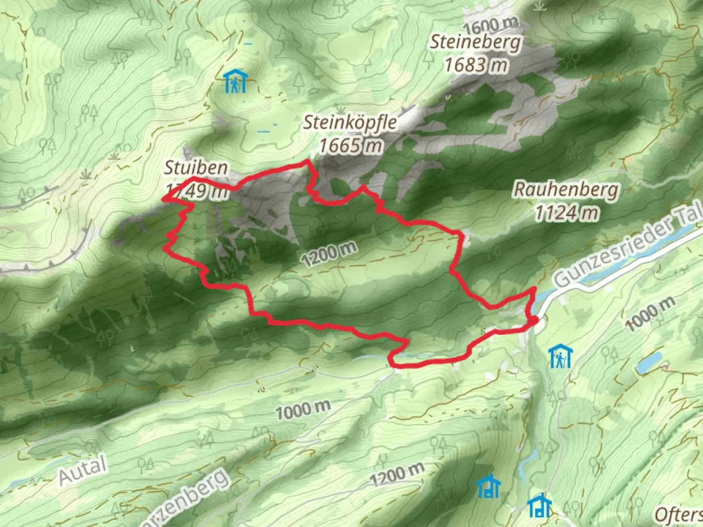
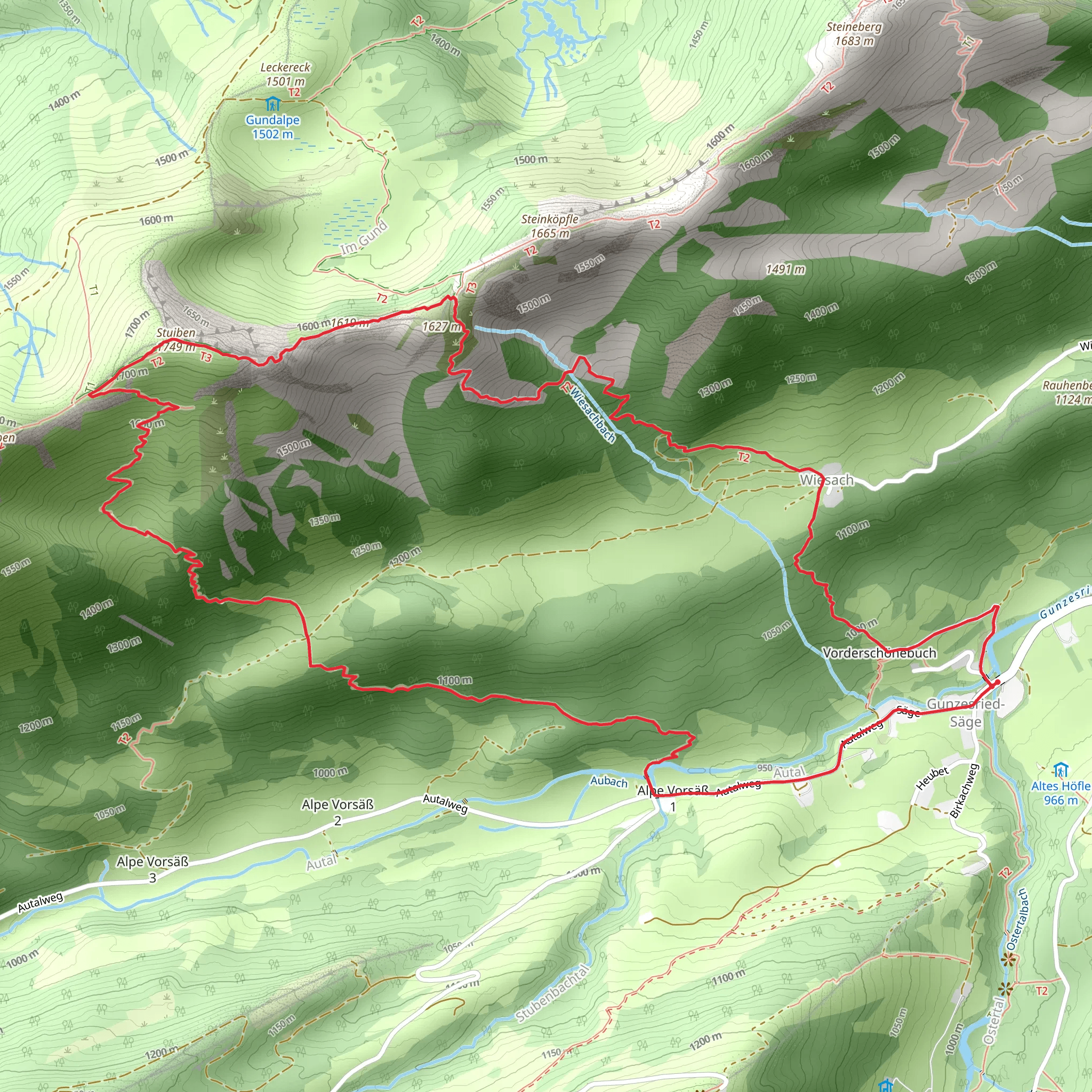
Nestled in the picturesque region of Oberallgäu, Germany, the Stuiben via Maximiliansweg offers an exhilarating hiking experience for those seeking a challenging adventure. This loop trail spans approximately 10 kilometers (about 6.2 miles) and boasts an impressive elevation gain of around 900 meters (approximately 2,950 feet), making it an extra difficult trek suitable for experienced hikers.### Getting ThereTo reach the trailhead, travelers can opt for public transport or drive. If you're using public transport, the nearest significant town is Sonthofen, which is well-connected by train. From Sonthofen, local buses can take you closer to the trailhead near the village of Gunzesried, a charming spot known for its traditional Bavarian architecture. If driving, you can park near Gunzesried, where parking facilities are available.### Trail Highlights and NavigationThe trail begins with a steep ascent through dense forests, where the scent of pine fills the air. As you climb, the path becomes rocky and requires careful footing. It's advisable to use HiiKER for navigation, as the trail can be tricky to follow in certain sections, especially in foggy or wet conditions.Approximately 3 kilometers (1.9 miles) into the hike, you'll reach a clearing that offers breathtaking views of the Allgäu Alps. This is a perfect spot to take a break and soak in the panoramic vistas. Continuing onward, the trail meanders through alpine meadows, where wildflowers bloom in vibrant colors during the warmer months.### Historical SignificanceThe region is steeped in history, with the Maximiliansweg named after King Maximilian II of Bavaria, who was known for his love of nature and hiking. This trail is part of a larger network that stretches across Bavaria, offering a glimpse into the past as you walk in the footsteps of royalty.### Flora and FaunaAs you progress, keep an eye out for the diverse wildlife that inhabits the area. You might spot chamois gracefully navigating the rocky terrain or hear the call of the golden eagle soaring above. The flora is equally captivating, with edelweiss and gentian adding splashes of color to the landscape.### Reaching the SummitThe final push to the summit of Stuiben is the most challenging part of the hike, with steep inclines and narrow paths. However, the effort is rewarded with stunning views from the top, where you can see the surrounding peaks and valleys stretching out before you.### Descent and ReturnThe descent follows a different path, looping back towards the trailhead. This section is less strenuous but requires attention due to loose gravel and steep sections. As you make your way down, you'll pass through serene forests and cross bubbling streams, providing a peaceful end to your adventure.Hikers should be well-prepared with appropriate gear, including sturdy hiking boots, trekking poles, and weather-appropriate clothing. Due to the trail's difficulty, it's essential to check weather conditions before setting out and ensure you have enough water and snacks for the journey.
Comments and Reviews
User comments, reviews and discussions about the Stuiben via Maximiliansweg, Germany.
4.33
average rating out of 5
3 rating(s)
