Download
Preview
Add to list
More
12.3 km
~4 hrs 19 min
1120 m
Out and Back
“The Kemptner Hütte Walk blends natural beauty, history, and a rewarding challenge across 12 captivating kilometers.”
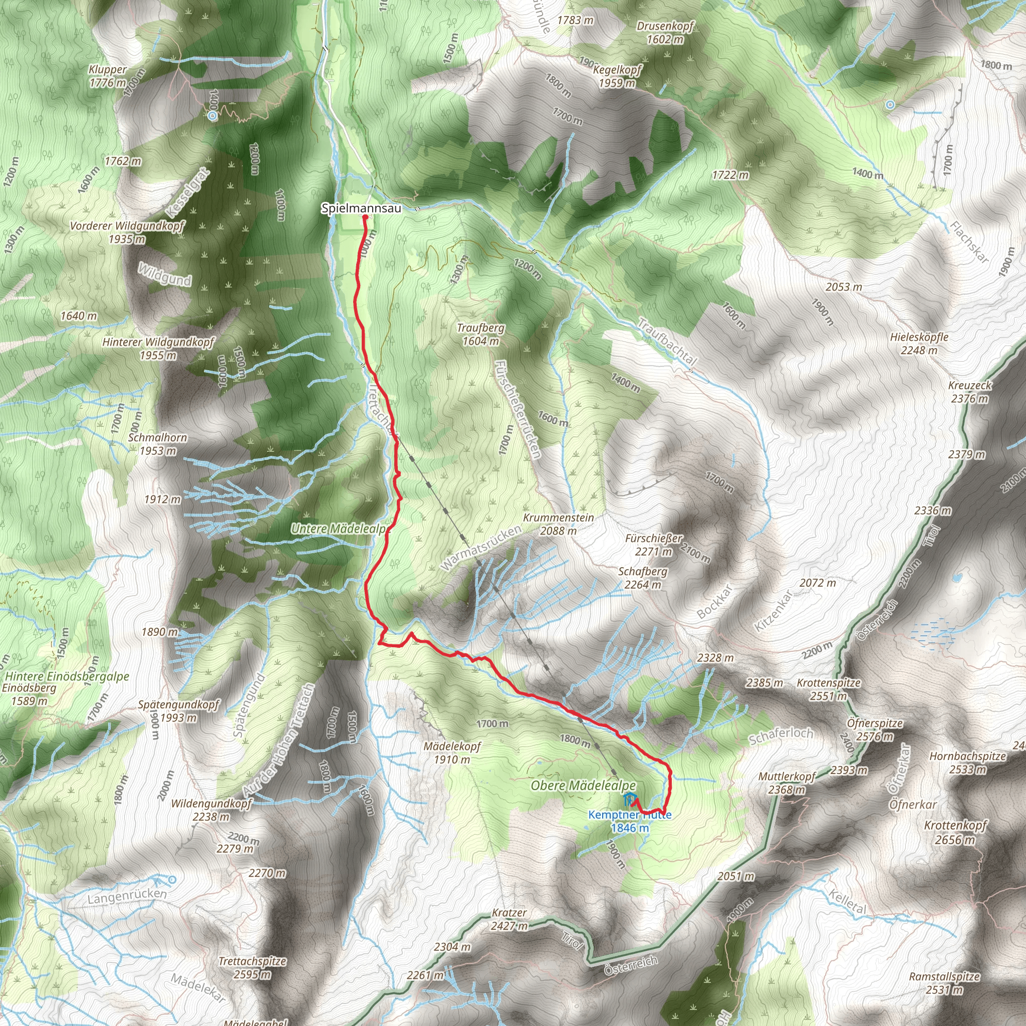
Starting near Oberallgäu, Germany, the Kemptner Hütte Walk is a captivating out-and-back trail that spans approximately 12 kilometers (7.5 miles) with an elevation gain of around 1100 meters (3609 feet). This medium-difficulty hike offers a blend of natural beauty, historical significance, and a rewarding challenge for hikers.
Getting There To reach the trailhead, you can drive or use public transport. If driving, head towards Oberstdorf in the Oberallgäu district. The nearest significant landmark is the Oberstdorf train station, which is well-connected by regional trains. From the station, you can take a local bus to Spielmannsau, where the trail begins. For those using public transport, the bus ride from Oberstdorf to Spielmannsau is straightforward and scenic.
Trail Overview The trail begins in the picturesque valley of Spielmannsau, surrounded by lush meadows and towering peaks. As you start your ascent, the path winds through dense forests, offering shade and a cool respite during the warmer months. The initial 3 kilometers (1.9 miles) are relatively gentle, with an elevation gain of about 300 meters (984 feet), making it a good warm-up for the steeper sections ahead.
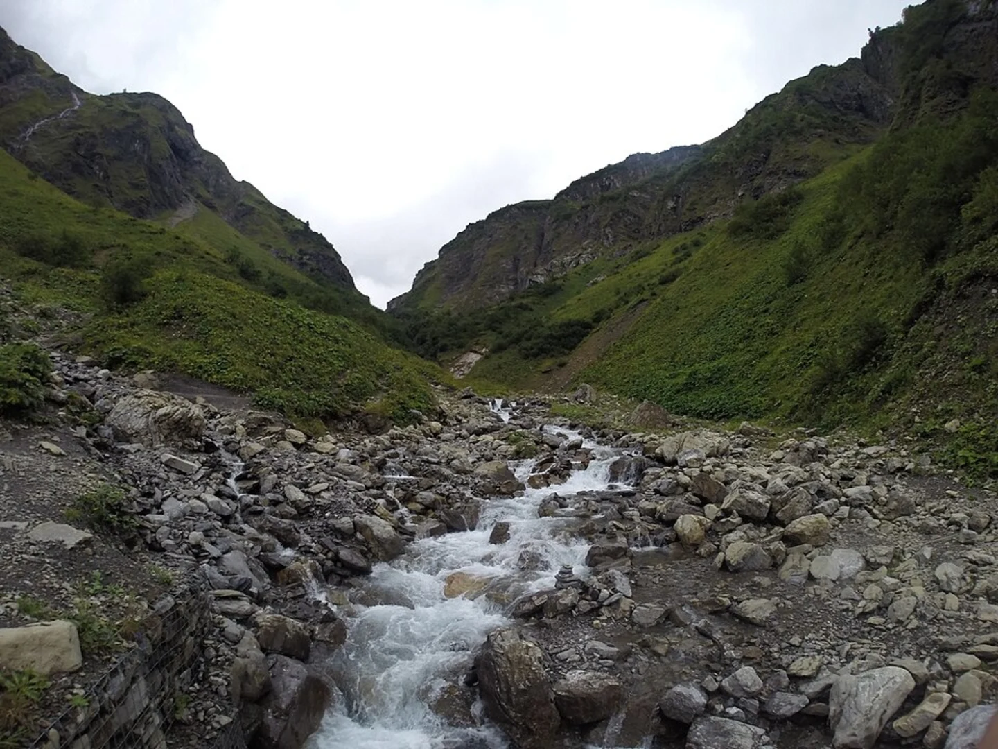
Mid-Trail Highlights Around the 4-kilometer (2.5-mile) mark, you'll reach the Trettach River, a perfect spot to take a short break and enjoy the serene surroundings. The trail then becomes steeper, with switchbacks that offer stunning views of the Allgäu Alps. Keep an eye out for local wildlife, including chamois and marmots, which are often seen in this area.
Historical Significance As you continue your ascent, you'll pass by the remnants of old shepherd huts, a testament to the region's pastoral history. The trail itself has been used for centuries by locals and shepherds, adding a layer of historical depth to your hike.
Final Ascent to Kemptner Hütte The final 2 kilometers (1.2 miles) are the most challenging, with an elevation gain of about 500 meters (1640 feet). The path becomes rocky and narrow, requiring careful footing. However, the effort is well worth it as you approach the Kemptner Hütte, a mountain hut situated at an elevation of 1844 meters (6050 feet). Here, you can rest, enjoy a meal, and take in panoramic views of the surrounding peaks.
Navigation and Safety For navigation, it's highly recommended to use the HiiKER app, which provides detailed maps and real-time updates. The trail is well-marked, but weather conditions can change rapidly, so always check the forecast before setting out. Carry sufficient water, snacks, and a first-aid kit, and be prepared for sudden temperature drops as you gain elevation.
Return Journey The return journey follows the same path back to Spielmannsau, offering a different perspective on the landscape as you descend. The descent is easier on the legs but still requires caution, especially on the steeper sections.
This hike offers a perfect blend of natural beauty, physical challenge, and historical intrigue, making it a must-do for any hiking enthusiast visiting the Oberallgäu region.
What to expect?
Activity types
Comments and Reviews
User comments, reviews and discussions about the Kemptner Hütte Walk, Germany.
4.25
average rating out of 5
4 rating(s)

