Download
Preview
Add to list
More
12.7 km
~4 hrs 3 min
909 m
Loop
“The Immenstädter Horn Peak Loop offers stunning views, diverse wildlife, and rich history in a rewarding hike.”
Starting near Oberallgäu, Germany, the Immenstädter Horn Peak Loop via Wanderwegenetz Immenstadt is a captivating 13 km (8 miles) loop trail with an elevation gain of approximately 900 meters (2,950 feet). This medium-difficulty trail offers a blend of natural beauty, historical significance, and a rewarding hiking experience.
Getting There To reach the trailhead, you can either drive or use public transport. If driving, head towards Oberallgäu and look for parking near the Wanderwegenetz Immenstadt. For those using public transport, take a train to Immenstadt im Allgäu station. From there, local buses or a short taxi ride can get you to the trailhead.
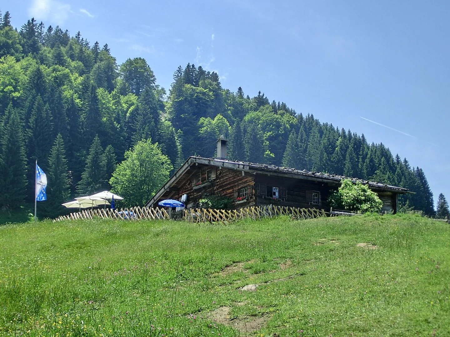
Trail Overview The trail begins with a gentle ascent through lush forests, offering a serene start to your hike. As you progress, the path becomes steeper, leading you through a mix of deciduous and coniferous trees. Keep an eye out for local wildlife such as deer, foxes, and a variety of bird species.
Key Landmarks and Sections
#### The Ascent Around the 3 km (1.9 miles) mark, you'll reach a clearing that provides your first panoramic view of the Allgäu Alps. This is a great spot to take a short break and hydrate. The trail continues to climb, and you'll encounter a series of switchbacks that make the ascent more manageable.
#### Immenstädter Horn Peak At approximately 6.5 km (4 miles) into the hike, you'll reach the summit of Immenstädter Horn. Standing at 1,489 meters (4,885 feet), the peak offers breathtaking 360-degree views of the surrounding mountains and valleys. On a clear day, you can see as far as Lake Constance. This is an ideal spot for a longer rest and some photos.
#### Historical Significance The region around Immenstadt has a rich history dating back to the Roman era. The trail itself passes near several old trade routes that were used for transporting goods between Germany and Italy. Keep an eye out for informational plaques that provide insights into the historical significance of the area.
#### The Descent The descent begins with a steep, rocky section that requires careful footing. Trekking poles can be particularly useful here. As you descend further, the trail levels out and meanders through alpine meadows filled with wildflowers during the spring and summer months. This section is around 4 km (2.5 miles) long and offers a more relaxed pace.
Navigation and Safety Given the varied terrain, it's advisable to use a reliable navigation tool like HiiKER to stay on track. The trail is well-marked, but having a digital map can provide additional peace of mind. Always check the weather forecast before heading out, as conditions can change rapidly in the mountains.
Flora and Fauna The trail is a haven for nature enthusiasts. In addition to the diverse birdlife, you may spot marmots and, if you're lucky, a golden eagle soaring above. The flora varies with altitude, ranging from dense forest undergrowth to alpine flowers and grasses.
Final Stretch The last 2 km (1.2 miles) of the trail take you through a picturesque valley, eventually looping back to the starting point near Oberallgäu. This section is relatively flat and provides a gentle end to your hike, allowing you to cool down and reflect on the journey.
This trail offers a well-rounded hiking experience with its mix of challenging ascents, rewarding views, and rich historical context. Whether you're a seasoned hiker or someone looking to explore the beauty of the Allgäu Alps, the Immenstädter Horn Peak Loop is a trail that promises both adventure and tranquility.

What to expect?
Activity types
Comments and Reviews
User comments, reviews and discussions about the Immenstädter Horn Peak Loop via Wanderwegenetz Immenstadt, Germany.
5.0
average rating out of 5
2 rating(s)