Download
Preview
Add to list
More
12.5 km
~4 hrs 29 min
1187 m
Point-to-Point
“Embark on a scenic, historical, and challenging hike in Oberallgäu, Germany, with breathtaking alpine views.”
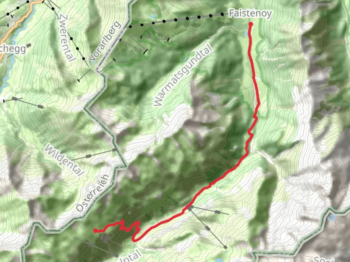
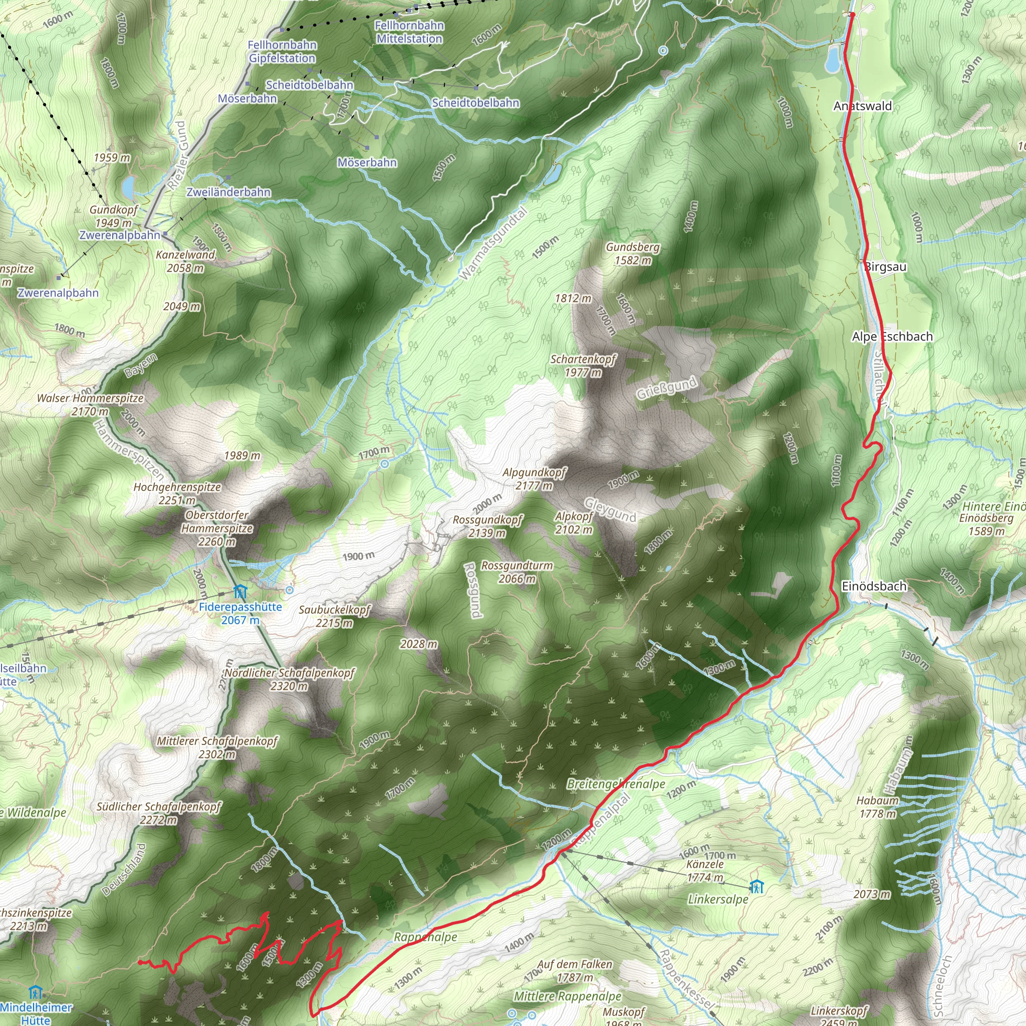
Starting your hike near Oberallgäu, Germany, the trailhead for this journey is easily accessible by both car and public transport. If you're driving, you can park near the village of Anatswald. For those using public transport, take a train to Oberstdorf and then a local bus to Anatswald. The trailhead is well-marked and easy to find.### Initial Ascent and TerrainThe trail begins with a steady ascent, gaining approximately 1100 meters (3600 feet) in elevation over the course of the hike. The first few kilometers (miles) are relatively gentle, allowing you to warm up before the steeper sections. The path is well-maintained and marked with Wanderweg 441 signs, making navigation straightforward. For added security, consider using the HiiKER app to keep track of your progress and ensure you stay on course.### Flora and FaunaAs you ascend, you'll pass through lush alpine meadows and dense forests. The region is known for its diverse flora, including wildflowers like alpine asters and edelweiss. Keep an eye out for local wildlife such as chamois, marmots, and a variety of bird species. The forested areas provide a cool respite from the sun, especially during the summer months.### Midway Point: Scenic Views and Rest StopsAround the halfway mark, approximately 6.5 km (4 miles) into the hike, you'll reach a plateau offering stunning panoramic views of the Allgäu Alps. This is a great spot to take a break, hydrate, and enjoy a snack. The elevation gain at this point is about 550 meters (1800 feet), giving you a sense of accomplishment and a preview of the vistas to come.### Historical SignificanceThe region around Oberallgäu has a rich history dating back to medieval times. The trail itself has been used for centuries by shepherds and traders. As you hike, you'll come across old stone markers and remnants of ancient pathways, offering a glimpse into the past. The area was also significant during World War II, serving as a strategic location for both German and Allied forces.### Final Ascent and Arrival at Obere AngererhütteThe final stretch of the hike involves a steeper ascent, with the last 3 km (1.8 miles) being the most challenging. The trail becomes rockier and more rugged, requiring careful footing. As you approach the Obere Angererhütte, the landscape opens up, providing breathtaking views of the surrounding peaks and valleys. The hut itself is a charming alpine refuge, offering basic amenities and a cozy atmosphere. It's an ideal spot to rest, enjoy a meal, and take in the stunning scenery before heading back or continuing your adventure.### Practical Tips- Weather: The weather in the Alps can be unpredictable, so come prepared with layers and waterproof gear. - Footwear: Sturdy hiking boots with good ankle support are recommended due to the rocky terrain. - Hydration: Carry enough water, as there are limited sources along the trail. - Navigation: Use the HiiKER app to ensure you stay on the correct path and to track your progress.This hike offers a rewarding blend of natural beauty, historical intrigue, and physical challenge, making it a memorable experience for any outdoor enthusiast.
Comments and Reviews
User comments, reviews and discussions about the Anatswald to Obere Angererhütte via Wanderweg 441, Germany.
average rating out of 5
0 rating(s)
