Download
Preview
Add to list
More
10.1 km
~2 hrs 35 min
335 m
Point-to-Point
“Explore lush forests, historical ruins, and breathtaking vistas on the medium-difficulty Rückersdorf to Moritzberg Walk.”
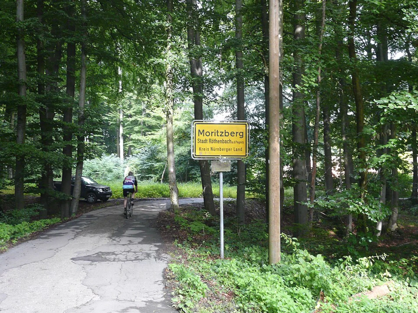
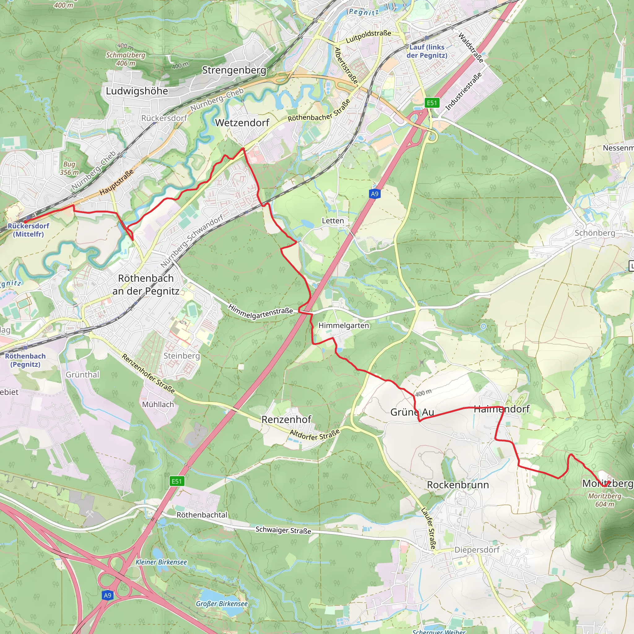
Starting near the picturesque Nürnberger Land in Germany, this 10 km (6.2 miles) point-to-point trail offers a delightful mix of natural beauty and historical intrigue. With an elevation gain of approximately 300 meters (984 feet), the Rückersdorf to Moritzberg Walk is rated as medium difficulty, making it suitable for moderately experienced hikers.### Getting There To reach the trailhead, you can either drive or use public transport. If driving, set your GPS to Rückersdorf, a charming village located just northeast of Nuremberg. For those opting for public transport, take a train to the Rückersdorf station, which is well-connected to Nuremberg. From the station, it's a short walk to the trailhead.### Trail Navigation For navigation, it's highly recommended to use the HiiKER app, which provides detailed maps and real-time updates. This will ensure you stay on the right path and can easily locate points of interest along the way.### The Hike The trail begins in Rückersdorf, a quaint village known for its traditional Bavarian architecture. As you start your hike, you'll pass through lush forests and open meadows, offering a serene escape from urban life. The first 2 km (1.2 miles) are relatively flat, allowing you to ease into the hike.### Significant Landmarks Around the 3 km (1.9 miles) mark, you'll encounter the first significant elevation gain as you ascend towards the Moritzberg. This section can be a bit challenging, but the effort is well worth it. Keep an eye out for the ancient oak trees that dot the landscape, some of which are centuries old.### Historical Significance As you approach the halfway point, you'll come across the ruins of an old watchtower, a remnant from the medieval period when this area was a strategic lookout point. This spot offers panoramic views of the surrounding countryside and is an excellent place to take a break and soak in the history.### Flora and Fauna The trail is rich in biodiversity. In the spring and summer months, you'll find a variety of wildflowers, including orchids and lilies. Birdwatchers will be delighted by the presence of species such as the European robin and the black woodpecker. Small mammals like red squirrels and hedgehogs are also commonly spotted.### Final Stretch The last 2 km (1.2 miles) involve a steady climb up to Moritzberg. This section is the most strenuous but also the most rewarding. As you near the summit, the forest opens up to reveal stunning views of the Franconian landscape. The Moritzberg itself is a popular spot for paragliding, so don't be surprised if you see colorful parachutes dotting the sky.### Reaching Moritzberg Upon reaching Moritzberg, you'll find a small chapel and a cozy mountain hut where you can rest and perhaps enjoy a traditional Bavarian snack. The views from here are breathtaking, offering a 360-degree panorama of the region.### Return Journey Since this is a point-to-point trail, you'll need to arrange transportation back from Moritzberg. Local buses run regularly to nearby towns, or you can use a taxi service. If you prefer, you can also hike back to Rückersdorf, making it a round trip of 20 km (12.4 miles).This trail offers a perfect blend of natural beauty, historical landmarks, and moderate physical challenge, making it a must-do for any hiking enthusiast visiting the Nürnberger Land region.
What to expect?
Activity types
Comments and Reviews
User comments, reviews and discussions about the Rückersdorf to Moritzberg Walk, Germany.
average rating out of 5
0 rating(s)

