Download
Preview
Add to list
More
13.5 km
~2 hrs 52 min
105 m
Loop
“Discover the medium-difficulty Hirschenkopf Trail's scenic 14 km loop with panoramic views and historical landmarks.”
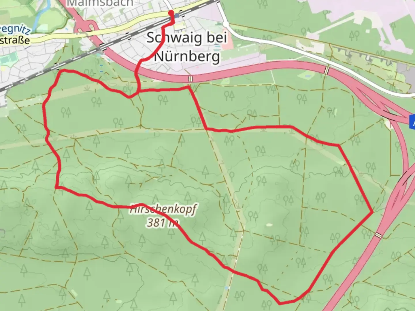
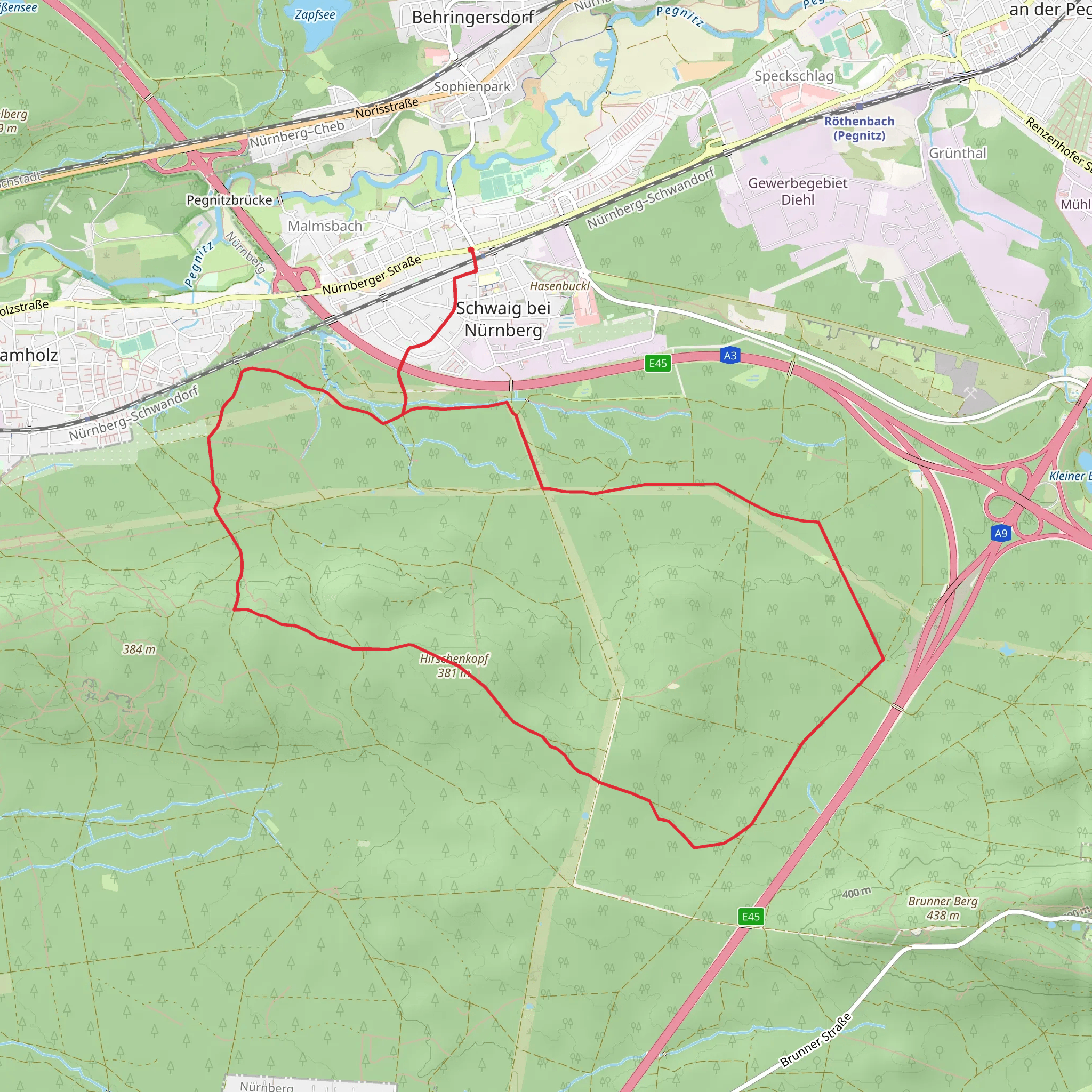
Starting near Nürnberger Land in Germany, the Hirschenkopf Trail is a scenic 14 km (approximately 8.7 miles) loop with an elevation gain of around 100 meters (328 feet). This trail is rated as medium difficulty, making it suitable for moderately experienced hikers.### Getting There To reach the trailhead, you can drive or use public transport. If driving, head towards the town of Lauf an der Pegnitz, which is well-connected by major roads. For those using public transport, take a train to Lauf (Pegnitz) station. From there, local buses or a short taxi ride will get you to the trailhead.### Trail Overview The trail begins with a gentle ascent through mixed forests, offering a serene start to your hike. The initial 2 km (1.2 miles) are relatively easy, allowing you to warm up as you navigate through the lush greenery. Keep an eye out for local wildlife such as deer and various bird species that inhabit this area.### Key Landmarks and Points of Interest Around the 3 km (1.9 miles) mark, you'll come across the first significant landmark, the Hirschenkopf viewpoint. This spot offers panoramic views of the surrounding Nürnberger Land, making it a perfect place for a short break and some photography.Continuing on, the trail meanders through a series of small meadows and forested areas. At approximately 6 km (3.7 miles), you'll encounter a charming wooden bridge crossing a small stream. This is a great spot to pause and enjoy the tranquil sounds of flowing water.### Historical Significance As you approach the halfway point, you'll find remnants of old stone walls and foundations, hinting at the region's historical significance. These ruins are believed to be from medieval settlements that once dotted the landscape. The area around Nürnberger Land has a rich history, with evidence of human habitation dating back to the Roman era.### Navigation and Safety The trail is well-marked, but it's always a good idea to have a reliable navigation tool. HiiKER is an excellent app for this purpose, providing detailed maps and real-time updates. Make sure to download the trail map before you start, as cell service can be spotty in some areas.### Flora and Fauna The latter part of the trail takes you through dense forests of oak and beech trees. During spring and summer, the forest floor is carpeted with wildflowers, adding a splash of color to your hike. Keep an eye out for local fauna, including foxes and various bird species.### Final Stretch The final 3 km (1.9 miles) of the trail are relatively flat, making for a leisurely end to your hike. You'll pass through a series of small clearings before looping back to the trailhead. This section is particularly beautiful in the late afternoon when the sunlight filters through the trees, casting a golden glow on the path.### Practical Tips - Wear sturdy hiking boots, as some sections can be muddy, especially after rain. - Carry enough water and snacks, as there are no facilities along the trail. - Check the weather forecast before you go, as conditions can change rapidly.By following these guidelines and being prepared, you'll have a memorable experience on the Hirschenkopf Trail, enjoying both its natural beauty and historical richness.
What to expect?
Activity types
Comments and Reviews
User comments, reviews and discussions about the Hirschenkopf Trail, Germany.
5.0
average rating out of 5
1 rating(s)
