Download
Preview
Add to list
More
8.5 km
~2 hrs 3 min
213 m
Loop
“The Rengsdorf Tierweg Loop offers a scenic, moderately challenging 8 km hike through lush forests and historic landmarks.”
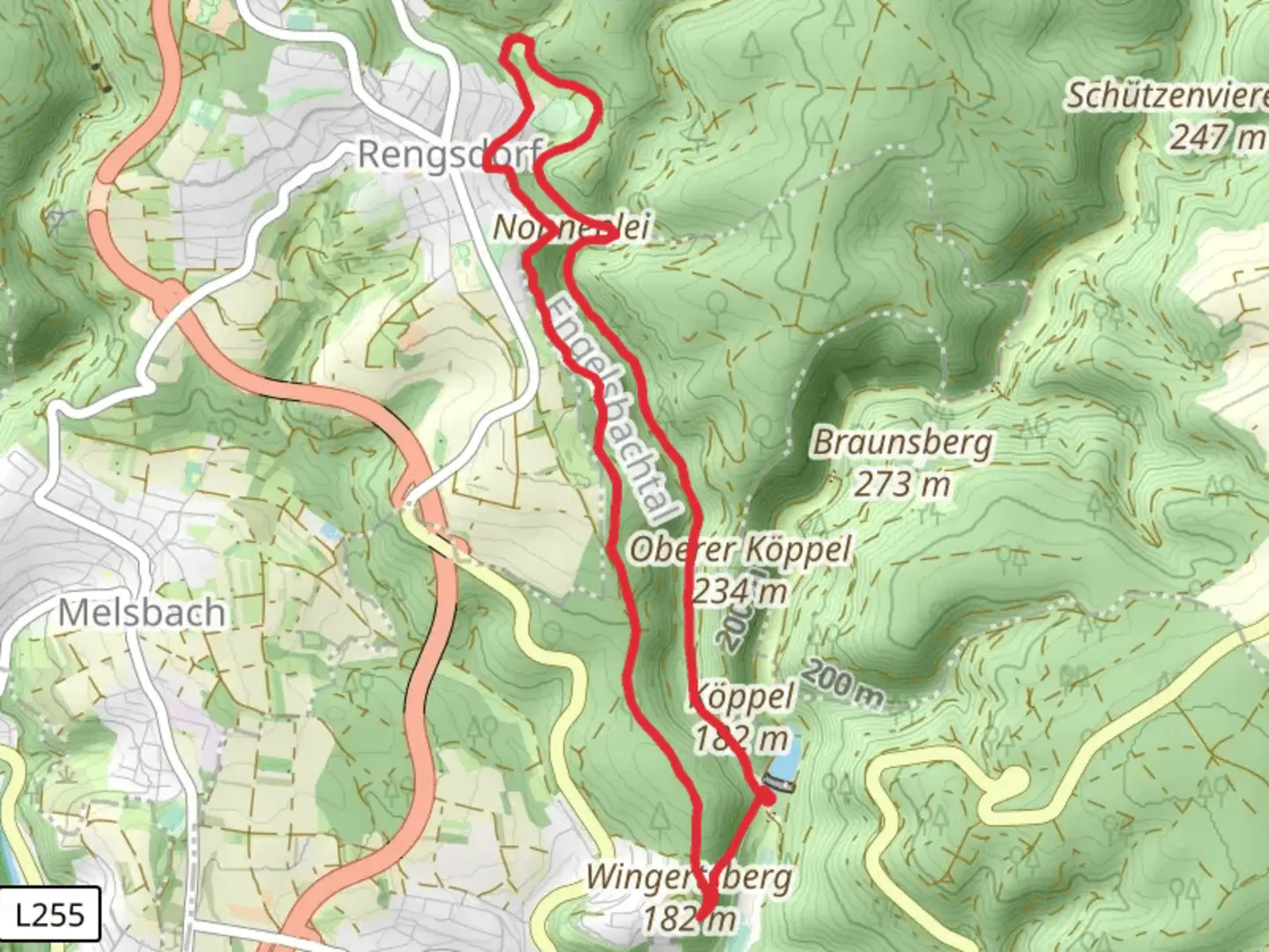
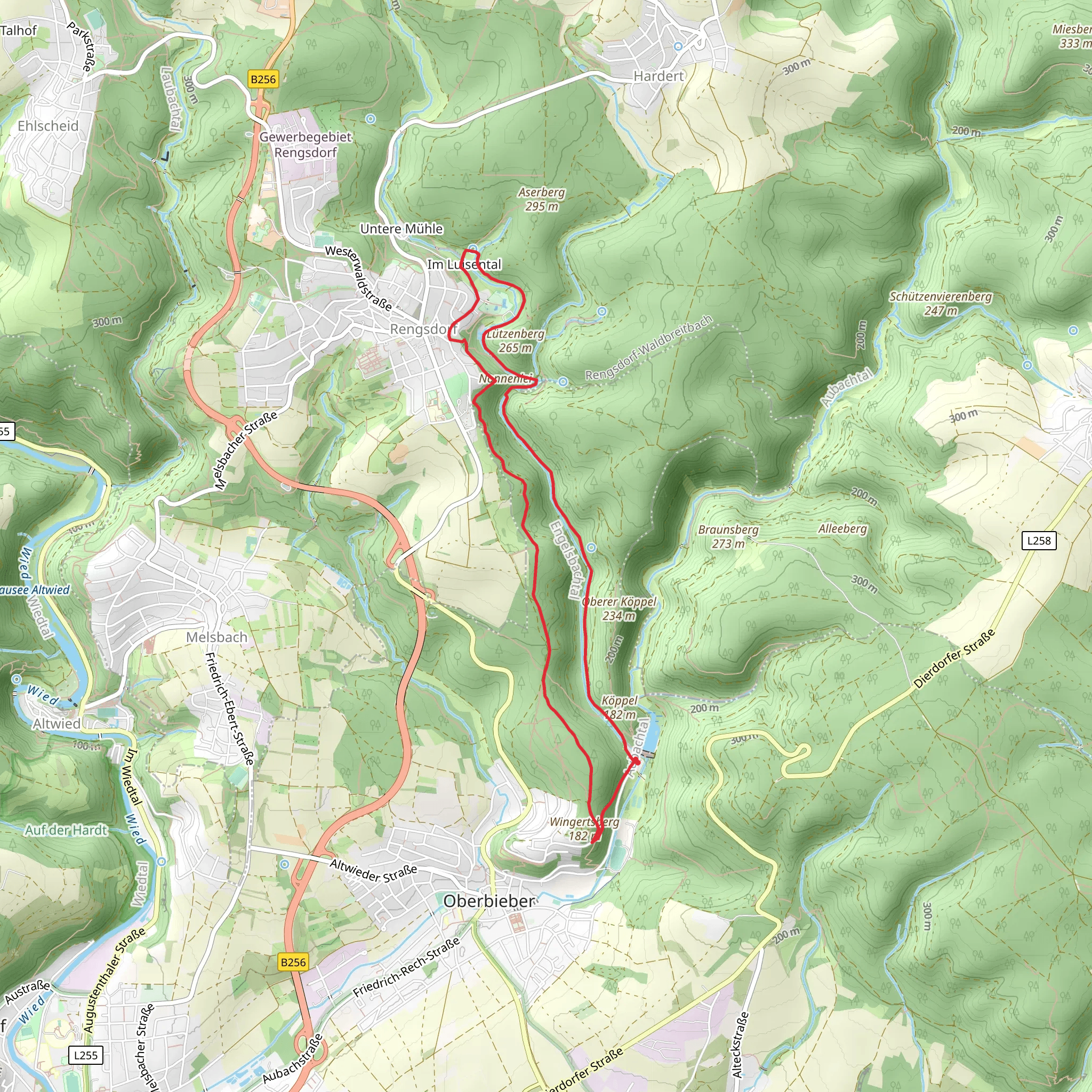
Starting near Neuwied, Germany, the Rengsdorf Tierweg Loop is an 8 km (approximately 5 miles) trail with an elevation gain of around 200 meters (656 feet). This loop trail is rated as medium difficulty, making it suitable for moderately experienced hikers.
Getting There To reach the trailhead, you can drive or use public transport. If driving, set your GPS to Rengsdorf, a small town near Neuwied. There is ample parking available near the trailhead. For those using public transport, take a train to Neuwied and then a bus to Rengsdorf. The nearest significant landmark is the Rengsdorf Kurpark, a well-known spa park in the area.
Trail Overview The trail begins at the edge of Rengsdorf Kurpark, a serene starting point that offers a glimpse into the region's spa culture. As you set off, you'll quickly find yourself immersed in the lush forests that characterize this part of Germany. The first kilometer (0.6 miles) is relatively flat, allowing you to ease into the hike.
Flora and Fauna The Rengsdorf Tierweg Loop is renowned for its rich biodiversity. Keep an eye out for native wildlife such as deer, foxes, and a variety of bird species. The forest is predominantly composed of beech and oak trees, providing ample shade and a cool environment even during the warmer months.
Significant Landmarks At around the 2 km (1.2 miles) mark, you'll encounter the historic Rengsdorf Mill. This old mill, now a picturesque ruin, offers a glimpse into the region's agricultural past. It's a great spot for a short break and some photography.
Elevation Gain As you continue, the trail begins to ascend. The next 3 km (1.9 miles) will take you through a series of gentle but steady climbs, gaining approximately 150 meters (492 feet) in elevation. This section can be a bit challenging, so take your time and enjoy the surroundings. The forest opens up occasionally, offering stunning views of the Westerwald region.
Navigation For navigation, it's highly recommended to use the HiiKER app, which provides detailed maps and real-time updates. The trail is well-marked, but having a reliable navigation tool can enhance your hiking experience.
Historical Significance The Rengsdorf Tierweg Loop is steeped in history. The trail itself has been used for centuries, originally serving as a route for local farmers and traders. The nearby town of Neuwied has a rich history dating back to Roman times, and remnants of this past can be seen in the architecture and layout of the area.
Final Stretch The final 3 km (1.9 miles) of the trail are a gentle descent back towards Rengsdorf. This section is less strenuous and allows you to cool down as you make your way back to the trailhead. You'll pass through more dense forest and might even spot some local wildlife if you're quiet and observant.
Practical Tips - Wear sturdy hiking boots, as the trail can be uneven in places. - Bring enough water and snacks, especially if you plan to take breaks at the various landmarks. - Check the weather forecast before you go, as the trail can become slippery after rain.
The Rengsdorf Tierweg Loop offers a perfect blend of natural beauty, historical landmarks, and moderate physical challenge, making it a rewarding hike for those looking to explore the scenic Westerwald region.
What to expect?
Activity types
Comments and Reviews
User comments, reviews and discussions about the Rengsdorf Tierweg Loop, Germany.
4.5
average rating out of 5
6 rating(s)
