Download
Preview
Add to list
More
7.0 km
~1 hrs 38 min
147 m
Loop
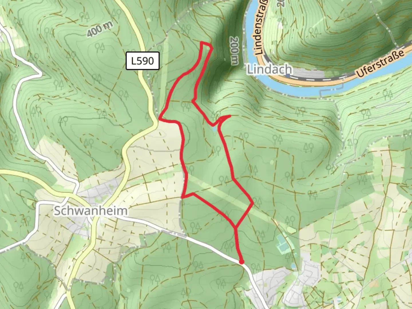
“Explore the scenic and historical 7 km Neckarsteig and Hansenwiesenweg trail in Neckar-Odenwald-Kreis, Germany.”
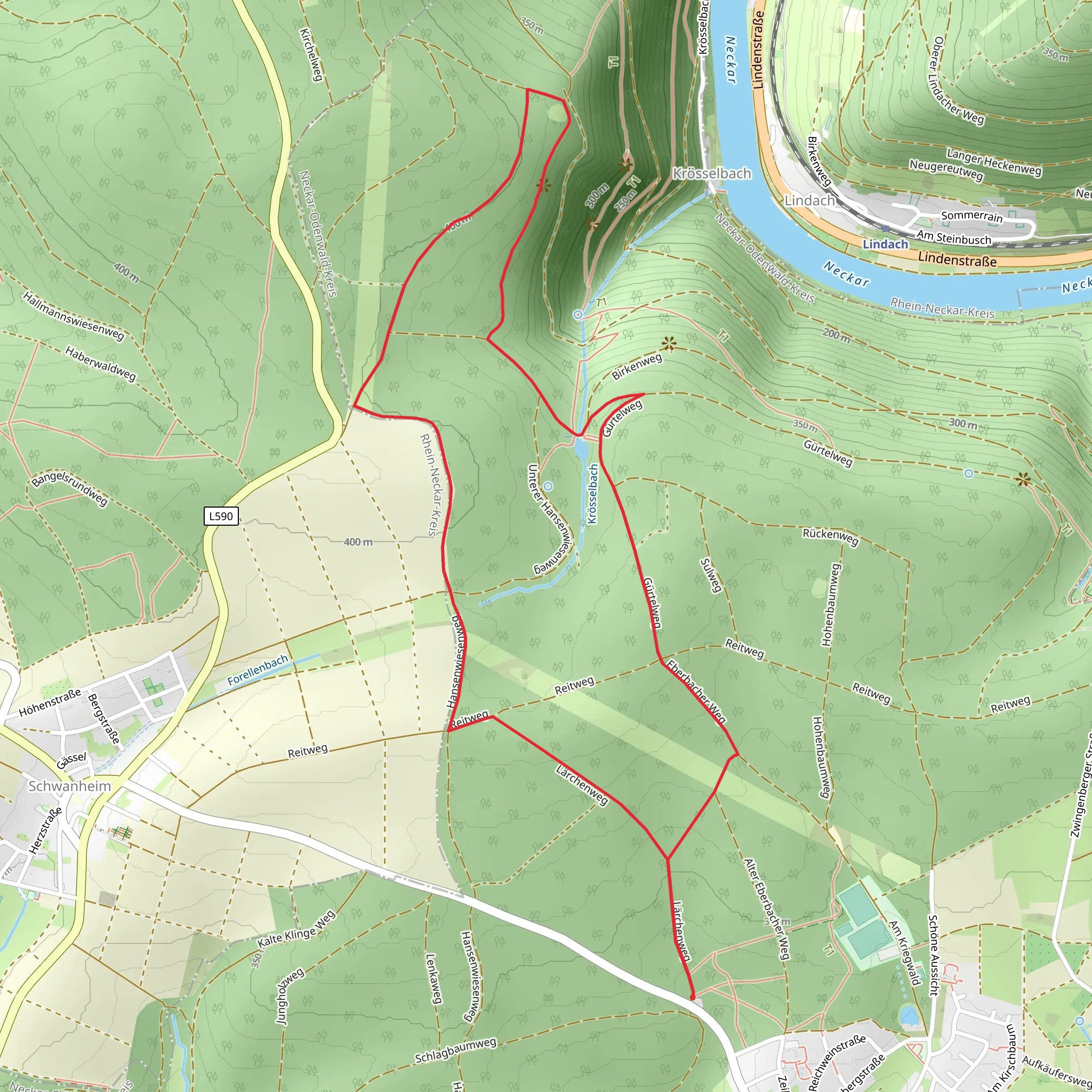
Starting your hike near Neckar-Odenwald-Kreis, Germany, the Neckarsteig and Hansenwiesenweg trail offers a delightful 7 km (4.35 miles) loop with an elevation gain of approximately 100 meters (328 feet). This medium-difficulty trail is perfect for those looking to explore the natural beauty and historical richness of the region.
Getting There To reach the trailhead, you can either drive or use public transport. If driving, set your GPS to the nearest known address: Neckar-Odenwald-Kreis, Germany. For public transport, take a train to the nearest station in Neckar-Odenwald-Kreis and then a local bus or taxi to the trailhead.
Trail Overview The trail begins with a gentle ascent, allowing you to ease into the hike. As you progress, you'll encounter a mix of forested paths and open meadows, providing a variety of landscapes to enjoy. The initial 2 km (1.24 miles) of the trail will take you through dense woodland, where you can expect to see a variety of native flora and fauna. Keep an eye out for deer, foxes, and a plethora of bird species.
Historical Significance Around the 3 km (1.86 miles) mark, you'll come across the remnants of ancient Roman settlements. This area is rich in history, and you can still see the foundations of old buildings and roads. The Neckar-Odenwald-Kreis region has been inhabited since Roman times, and these ruins offer a glimpse into the past.
Mid-Trail Highlights As you reach the halfway point, the trail opens up to Hansenwiesenweg, a picturesque meadow area. This is an excellent spot for a short break, where you can enjoy panoramic views of the surrounding countryside. The elevation gain here is minimal, making it a perfect place to catch your breath and take in the scenery.
Navigation and Safety For navigation, it's highly recommended to use the HiiKER app, which provides detailed maps and real-time updates. The trail is well-marked, but having a reliable navigation tool will ensure you stay on track. Be mindful of the weather, as the trail can become slippery after rain, especially in the forested sections.
Final Stretch The last 2 km (1.24 miles) of the trail will lead you back through a mix of forest and open fields, gradually descending towards the starting point. This section is relatively easy, allowing you to cool down and reflect on the hike. Along the way, you'll pass by small streams and possibly encounter more wildlife, making for a serene end to your journey.
Practical Tips - Wear sturdy hiking boots, as the terrain can be uneven. - Bring enough water and snacks, especially if you plan to take breaks. - Check the weather forecast before heading out and dress accordingly. - Use the HiiKER app for navigation and trail updates.
This 7 km loop offers a balanced mix of natural beauty and historical intrigue, making it a rewarding hike for those looking to explore the Neckar-Odenwald-Kreis region.
Comments and Reviews
User comments, reviews and discussions about the Neckarsteig and Hansenwiesenweg, Germany.
4.5
average rating out of 5
2 rating(s)
