Download
Preview
Add to list
More
12.3 km
~4 hrs 7 min
1003 m
Loop
“Embark on a scenic 12 km loop through Bavarian Alps' lush meadows, alpine pastures, and panoramic summits.”
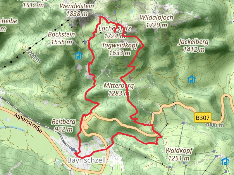
Starting your adventure near Miesbach, Germany, the Lacherspitz and Larcheralm Loop via HAAS Trail offers a rewarding 12 km (7.5 miles) loop with an elevation gain of approximately 1000 meters (3280 feet). This medium-difficulty trail is perfect for those looking to experience the beauty of the Bavarian Alps.
Getting There To reach the trailhead, you can drive or use public transport. If driving, head towards Bayrischzell, a charming village located about 80 km (50 miles) southeast of Munich. There is ample parking available near the trailhead. For those using public transport, take a train from Munich to Bayrischzell, which takes around 1.5 hours. From the Bayrischzell train station, it's a short walk to the trailhead.
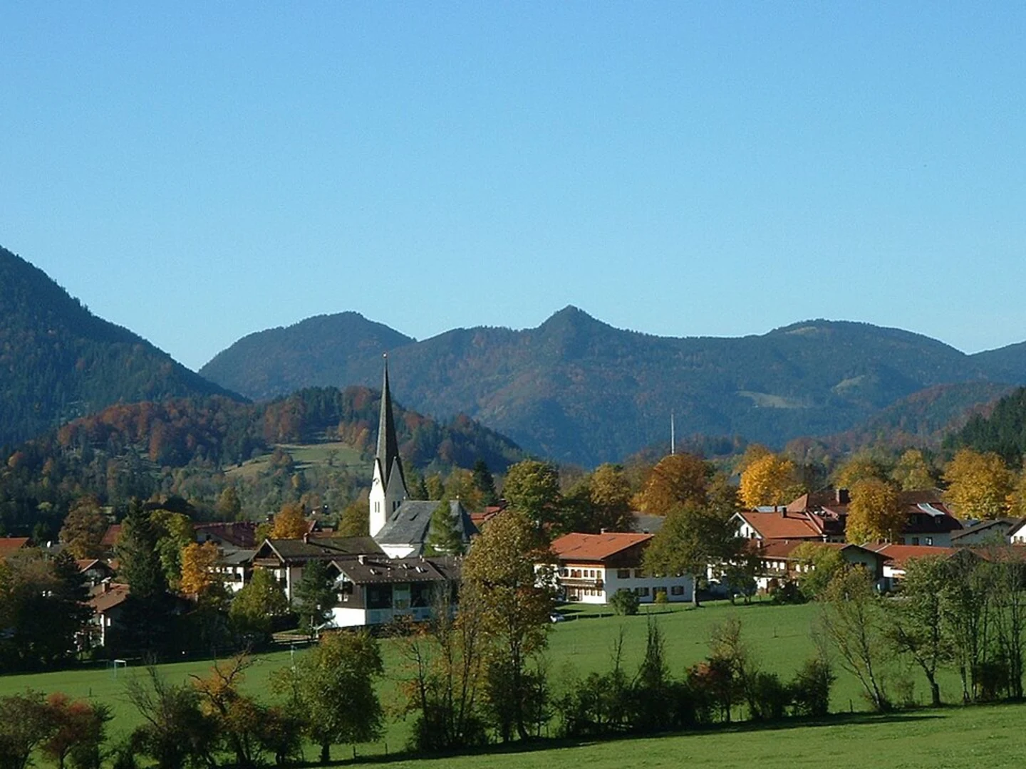
Trail Overview The trail begins near the village of Bayrischzell, a picturesque starting point that sets the tone for the hike. As you set off, you'll be greeted by lush meadows and dense forests, typical of the Bavarian landscape. The initial part of the trail is relatively gentle, allowing you to ease into the hike.
Key Landmarks and Sections
#### Larcheralm Around 4 km (2.5 miles) into the hike, you'll reach Larcheralm, a traditional Bavarian alpine pasture. This is a great spot to take a break and enjoy some local snacks. The area is known for its dairy products, so don't miss the chance to try some fresh cheese or buttermilk. The elevation gain to this point is about 400 meters (1312 feet), giving you a taste of the climb ahead.
#### Lacherspitz Summit Continuing from Larcheralm, the trail becomes steeper as you make your way towards the Lacherspitz summit. This section is more challenging, with an elevation gain of approximately 600 meters (1968 feet) over the next 3 km (1.9 miles). The effort is well worth it, as the summit offers panoramic views of the surrounding Alps and valleys. On a clear day, you can see as far as the Chiemsee, one of Bavaria's largest lakes.
Flora and Fauna The trail is rich in biodiversity. In the lower sections, you'll find a variety of wildflowers, including gentians and alpine roses. As you ascend, the vegetation changes to hardy alpine shrubs and grasses. Keep an eye out for wildlife such as chamois, marmots, and a variety of bird species, including golden eagles and alpine choughs.
Historical Significance The region around Bayrischzell has a rich history dating back to Roman times. The trail itself passes through areas that were historically used for transhumance, the seasonal movement of livestock between fixed summer and winter pastures. This practice has shaped the landscape and local culture, which you can still see in the traditional alpine huts and pastures.
Navigation and Safety Given the elevation gain and varying terrain, it's advisable to use a reliable navigation tool like HiiKER to stay on track. The trail is well-marked, but weather conditions can change rapidly in the mountains, so always be prepared with appropriate gear, including a map, compass, and sufficient food and water.
Final Descent The descent takes you through a series of switchbacks, gradually bringing you back to the valley floor. This section is less strenuous but requires careful footing, especially if the trail is wet. As you near the end of the loop, you'll pass through more meadows and forests, eventually returning to the trailhead near Bayrischzell.
This hike offers a perfect blend of natural beauty, physical challenge, and cultural history, making it a must-do for any hiking enthusiast visiting the Bavarian Alps.
What to expect?
Activity types
Comments and Reviews
User comments, reviews and discussions about the Lacherspitz and Larcheralm Loop via HAAS Trail - Bayrischzell, Germany.
4.25
average rating out of 5
4 rating(s)

