Download
Preview
Add to list
More
8.7 km
~2 hrs 53 min
685 m
Loop
“The Jägerkamp Loop via Tanzeck Reib'n is a 9 km hike blending natural beauty, history, and moderate challenge.”
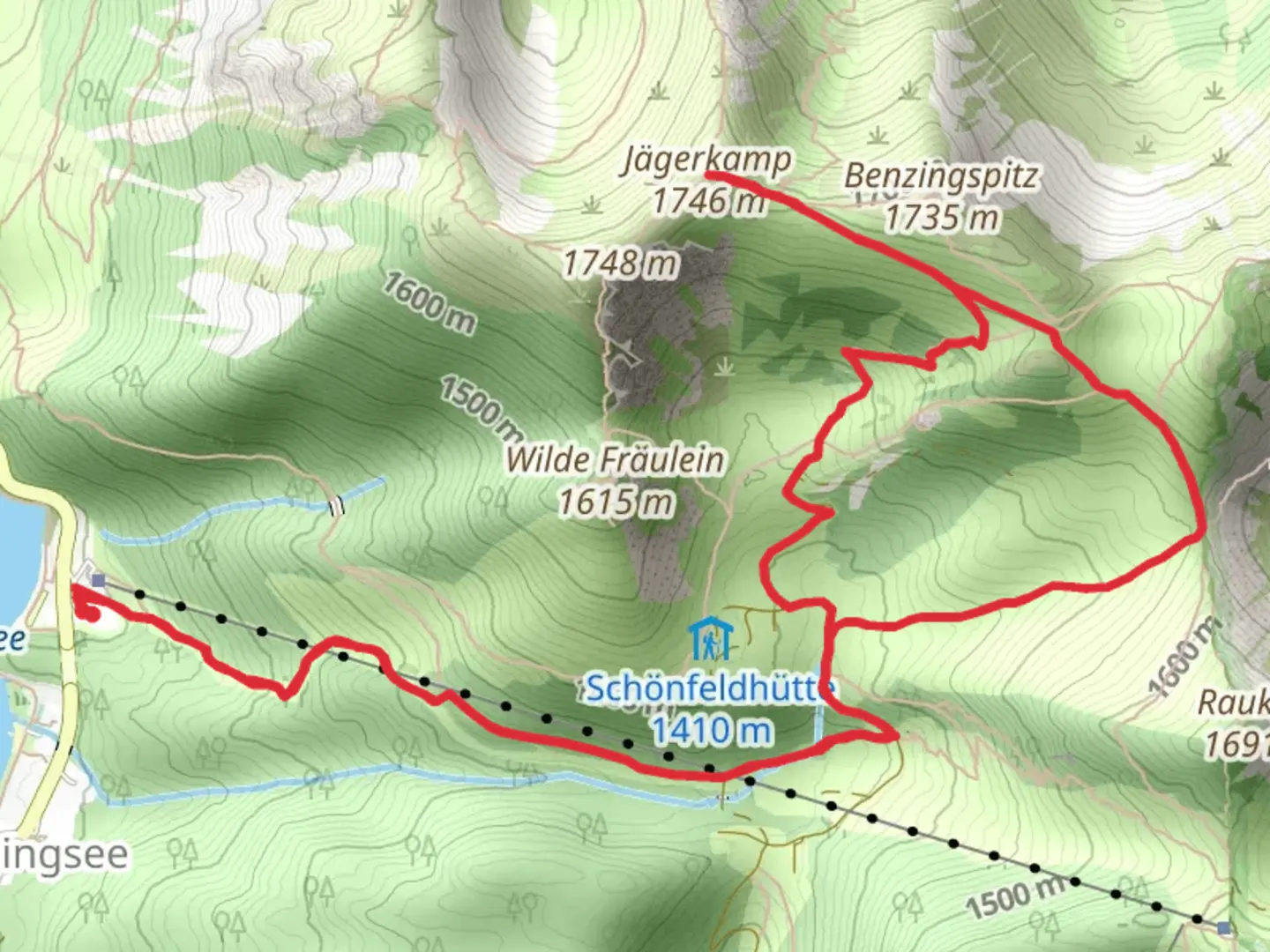
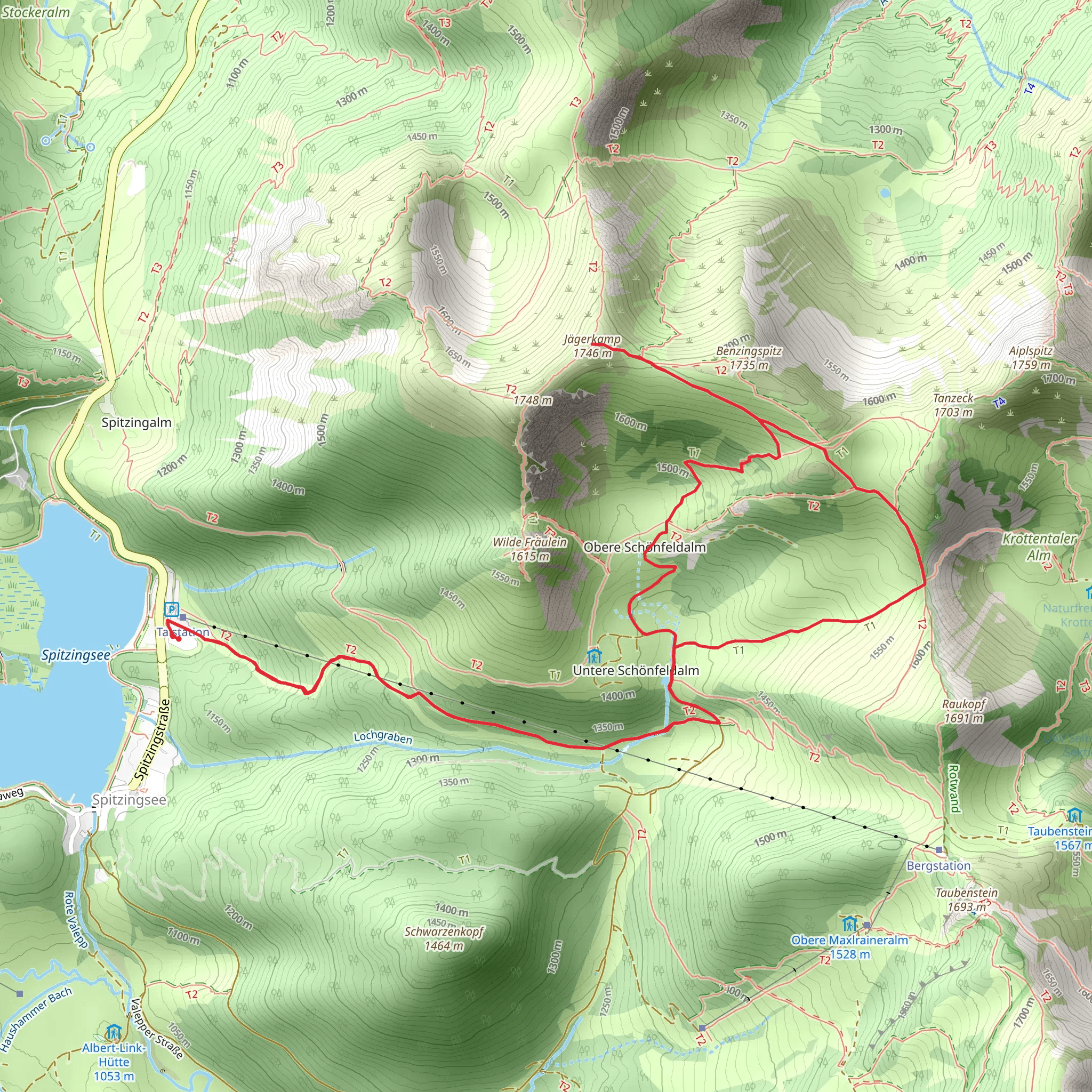
Starting near Miesbach, Germany, the Jägerkamp Loop via Tanzeck Reib'n is a captivating 9 km (5.6 miles) loop trail with an elevation gain of approximately 600 meters (1,968 feet). This medium-difficulty hike offers a blend of natural beauty, historical significance, and a moderate challenge suitable for most hikers.### Getting There To reach the trailhead, you can drive or use public transport. If driving, head towards Miesbach and follow signs to the trailhead parking area. For those using public transport, take a train to Miesbach station. From there, local buses or a short taxi ride will get you to the starting point.### Trail Overview The trail begins with a gentle ascent through lush forests, providing a serene start to your hike. As you progress, the path becomes steeper, leading you through a mix of dense woodland and open meadows. The initial 2 km (1.2 miles) will see you gaining around 200 meters (656 feet) in elevation, offering a good warm-up for the more challenging sections ahead.### Significant Landmarks and Nature Around the 3 km (1.9 miles) mark, you'll reach the Tanzeck viewpoint. This spot offers panoramic views of the surrounding Bavarian Alps, making it an excellent place for a short break and some photography. The trail then continues to climb, and you'll encounter a variety of alpine flora and fauna. Keep an eye out for chamois and marmots, which are commonly seen in this area.### Historical Significance The region around Miesbach has a rich history dating back to medieval times. The trail itself passes near several old hunting lodges used by Bavarian nobility. These lodges, though not always accessible, add a layer of historical intrigue to your hike. The area was also significant during World War II, serving as a strategic location for various military operations.### Reaching Jägerkamp At approximately 5 km (3.1 miles), you'll reach the summit of Jägerkamp. Standing at 1,746 meters (5,728 feet), this peak offers stunning 360-degree views of the Bavarian Alps and the valleys below. The elevation gain to this point is around 600 meters (1,968 feet), making it the most challenging part of the hike. Take some time to enjoy the scenery and perhaps have a snack before beginning your descent.### Descent and Return The descent follows a different path, completing the loop. The trail winds down through alpine meadows and forested areas, offering a different perspective of the landscape. The descent is more gradual, making it easier on the knees. You'll pass by several small streams and possibly encounter more wildlife. The final 2 km (1.2 miles) bring you back to the trailhead, completing the loop.### Navigation and Safety For navigation, it's highly recommended to use HiiKER, which provides detailed maps and real-time updates. The trail is well-marked, but having a reliable navigation tool ensures you stay on track. Always check the weather forecast before heading out, as conditions can change rapidly in the mountains.This hike offers a perfect blend of natural beauty, moderate physical challenge, and historical intrigue, making it a must-do for anyone visiting the Miesbach region.
What to expect?
Activity types
Comments and Reviews
User comments, reviews and discussions about the Jägerkamp Loop via Tanzeck Reib'n, Germany.
average rating out of 5
0 rating(s)
