Download
Preview
Add to list
More
14.7 km
~4 hrs 28 min
921 m
Loop
“Explore a 15 km loop near Miesbach, Germany, featuring panoramic alpine views, wildlife, and historical landmarks.”
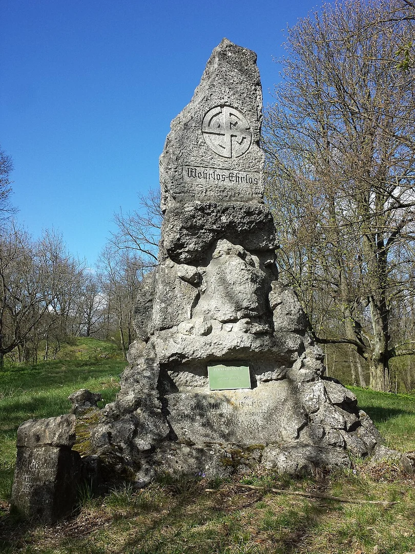
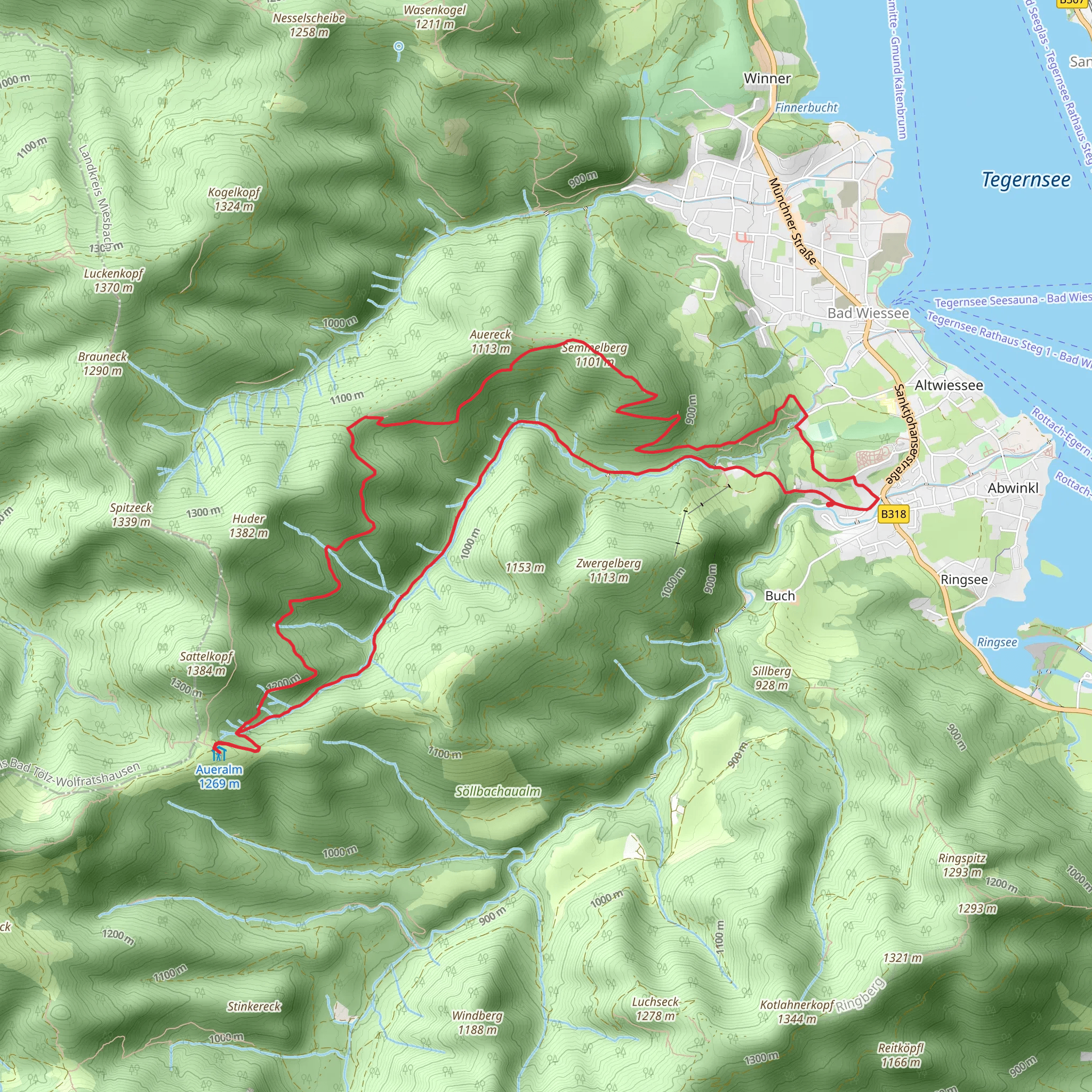
Starting near the charming town of Miesbach in Germany, this 15 km (approximately 9.3 miles) loop trail offers a moderately challenging hike with an elevation gain of around 900 meters (approximately 2,950 feet). The trailhead is conveniently accessible by both car and public transport. If you're driving, you can park near the Miesbach train station, which is also a good starting point for those arriving by train. From Munich, you can take a direct train to Miesbach, making it an easy day trip.### Initial Ascent and Forested PathwaysThe hike begins with a gradual ascent through dense forested areas. The first 3 km (1.9 miles) will take you through a mix of deciduous and coniferous trees, offering a serene and shaded environment. As you climb, keep an eye out for local wildlife such as deer and various bird species. The forest floor is often carpeted with wildflowers in the spring and summer, adding a splash of color to your journey.### Reaching AuereckAfter about 5 km (3.1 miles) and an elevation gain of roughly 400 meters (1,312 feet), you'll reach the first significant landmark, Auereck. This spot offers panoramic views of the surrounding Bavarian Alps and is an excellent place to take a break. The area is known for its rich history, with remnants of old shepherd huts that date back several centuries. These huts were once used by local farmers during the summer months.### Traversing to SemmelbergContinuing on, the trail takes you towards Semmelberg. This section is about 4 km (2.5 miles) long and involves a mix of ascents and descents, with an additional elevation gain of around 300 meters (984 feet). The path here is more open, offering expansive views of the rolling hills and valleys below. On clear days, you can see as far as the Tegernsee Lake. Semmelberg itself is another excellent vantage point, perfect for photography enthusiasts.### Flora and FaunaThe area around Semmelberg is rich in biodiversity. You might encounter alpine flowers such as edelweiss and gentian, especially in the summer months. The region is also home to various species of butterflies and insects, making it a fascinating spot for nature lovers.### Descent and Return LoopThe final leg of the hike involves a descent back towards Miesbach. This 6 km (3.7 miles) stretch is relatively easier, with a gradual decline that takes you through meadows and small streams. The sound of flowing water and the sight of grazing cattle add a pastoral charm to this part of the trail. ### Navigation and SafetyFor navigation, it's highly recommended to use HiiKER, which provides detailed maps and real-time updates. The trail is well-marked, but having a reliable navigation tool can be invaluable, especially in the forested sections where paths can sometimes be confusing.### Historical SignificanceThe region around Miesbach has a rich history, dating back to medieval times. The town itself is known for its traditional Bavarian architecture and has been a center for agriculture and trade for centuries. The trail passes through areas that were historically used for farming and livestock grazing, offering a glimpse into the region's past.This hike is a perfect blend of natural beauty, moderate physical challenge, and historical intrigue, making it a rewarding experience for any outdoor enthusiast.
What to expect?
Activity types
Comments and Reviews
User comments, reviews and discussions about the Auereck, Semmelberg via Wanderweg, Germany.
4.44
average rating out of 5
9 rating(s)

