Download
Preview
Add to list
More
14.1 km
~3 hrs 28 min
395 m
Loop
“The Rundweg um Dahle offers scenic views, historical ruins, and diverse wildlife on a 14-kilometer hike.”
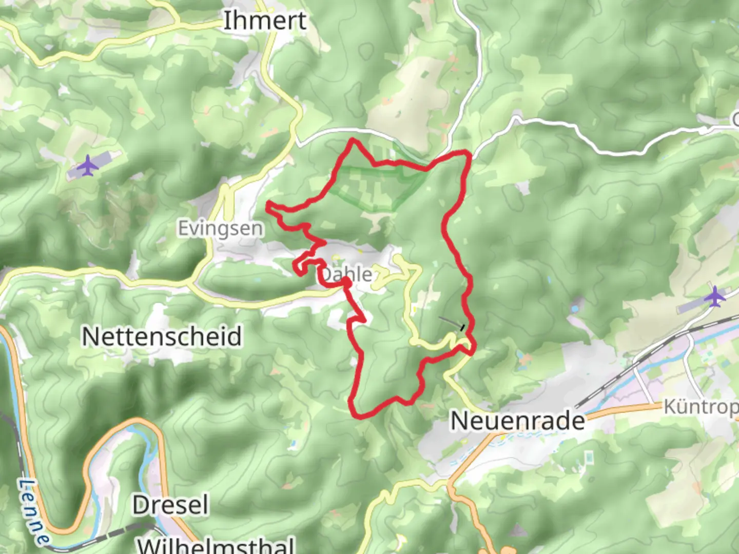
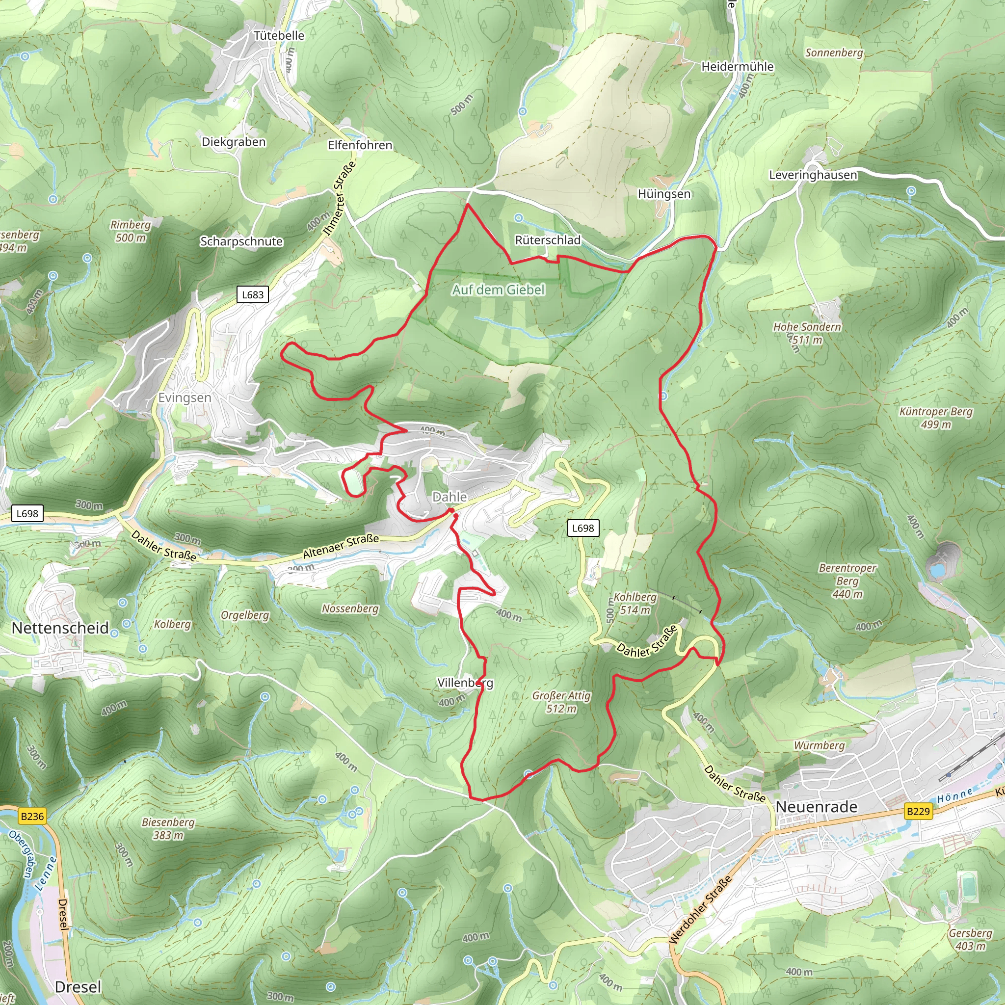
Starting near Märkischer Kreis, Germany, the Rundweg um Dahle is a scenic loop trail that spans approximately 14 kilometers (8.7 miles) with an elevation gain of around 300 meters (984 feet). This medium-difficulty trail offers a blend of natural beauty, historical landmarks, and diverse wildlife, making it a rewarding experience for hikers.### Getting There To reach the trailhead, you can either drive or use public transport. If driving, set your GPS to Märkischer Kreis, Germany, and look for parking near the village of Dahle. For those using public transport, take a train or bus to Altena, the nearest town with frequent connections. From Altena, a local bus or taxi can take you to Dahle.### Trail Overview The Rundweg um Dahle is a loop trail, meaning you'll start and finish at the same point. The trail is well-marked, but it's advisable to use the HiiKER app for navigation to ensure you stay on track.### Key Landmarks and Sections#### Dahle Village Starting from Dahle, you'll immediately notice the quaint charm of this small village. The traditional German architecture and local shops provide a picturesque beginning to your hike.#### Forested Areas As you leave the village, the trail takes you through dense forests, primarily composed of beech and oak trees. This section is relatively flat and offers a serene environment filled with the sounds of birds and rustling leaves. Keep an eye out for deer and other wildlife that are common in this area.#### Elevation Gain Around the 5-kilometer (3.1-mile) mark, you'll begin to experience a gradual ascent. This section is moderately challenging but offers stunning views of the surrounding landscape. The elevation gain here is about 150 meters (492 feet), making it a good workout without being overly strenuous.#### Historical Significance At approximately 8 kilometers (5 miles) into the hike, you'll come across the ruins of an old castle, Burg Altena. This medieval fortress dates back to the 12th century and offers a glimpse into the region's rich history. Take some time to explore the ruins and enjoy the panoramic views from this vantage point.#### Scenic Overlooks Continuing on, the trail provides several scenic overlooks where you can pause to take in the expansive views of the Märkischer Kreis region. These spots are perfect for a quick rest and some photography.### Flora and Fauna The trail is home to a variety of plant and animal species. In spring and summer, you'll find wildflowers in full bloom, adding vibrant colors to the landscape. Birdwatchers will appreciate the diversity of avian species, including woodpeckers, owls, and various songbirds.### Final Stretch The last few kilometers of the trail are a gentle descent back into Dahle. This section is less forested and offers more open views of the countryside. As you approach the village, you'll pass through meadows and small farms, providing a peaceful end to your hike.### Practical Tips - Footwear: Sturdy hiking boots are recommended due to the varied terrain. - Weather: Check the weather forecast before you go, as conditions can change rapidly. - Supplies: Bring enough water and snacks, as there are limited facilities along the trail. - Navigation: Use the HiiKER app to stay on course and get real-time updates.This trail offers a balanced mix of natural beauty, historical intrigue, and moderate physical challenge, making it an excellent choice for a day hike.
Comments and Reviews
User comments, reviews and discussions about the Rundweg um Dahle, Germany.
5.0
average rating out of 5
1 rating(s)
