Download
Preview
Add to list
More
10.1 km
~2 hrs 24 min
234 m
Loop
“This 10 km loop in Märkischer Kreis, Germany offers natural beauty, historical sites, and moderate hiking challenges.”
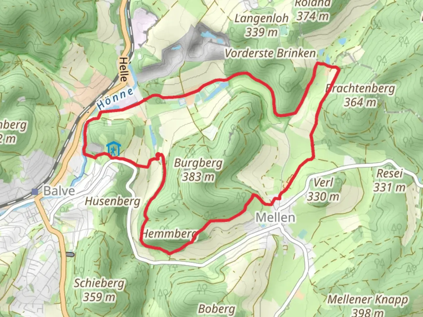
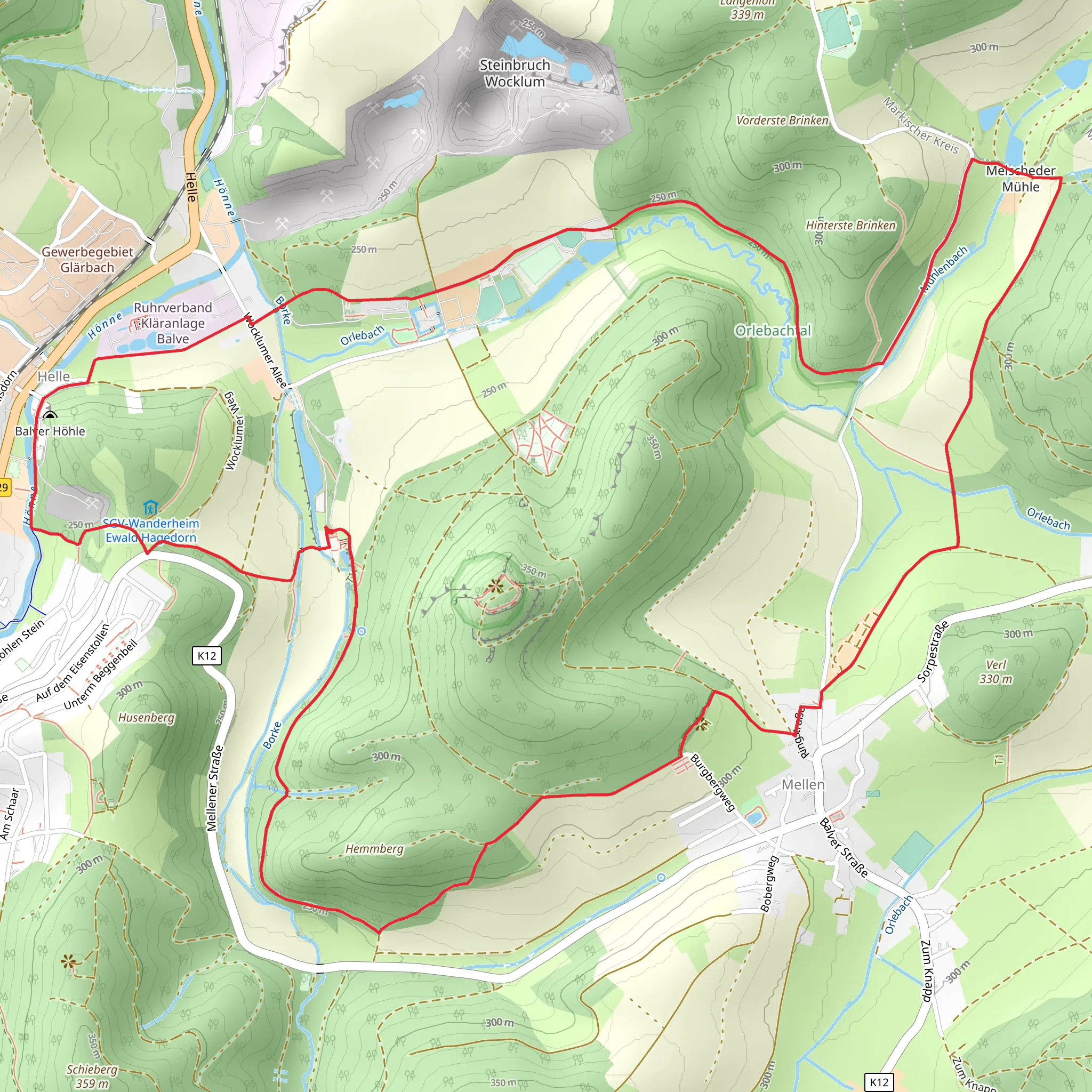
Starting near Märkischer Kreis, Germany, this 10 km (6.2 miles) loop trail offers a delightful mix of natural beauty and historical intrigue. With an elevation gain of approximately 200 meters (656 feet), the trail is rated as medium difficulty, making it suitable for moderately experienced hikers.### Getting There To reach the trailhead, you can either drive or use public transport. If driving, set your GPS to Märkischer Kreis, Germany, and look for parking options near the Luisenhütte Wocklum, a well-known landmark in the area. For those using public transport, take a train to Balve station and then a local bus or taxi to the Luisenhütte Wocklum.### Trail Highlights#### Luisenhütte Wocklum The trail begins near the Luisenhütte Wocklum, one of the oldest preserved ironworks in Germany. This historical site dates back to the 18th century and offers a fascinating glimpse into the region's industrial past. The ironworks have been meticulously preserved, and you can explore the old blast furnace and other machinery before you start your hike.#### Orlebachtal Valley As you proceed, you'll enter the serene Orlebachtal Valley. This section of the trail is relatively flat and runs alongside the Orlebach stream. The valley is rich in flora and fauna, so keep an eye out for various bird species and small mammals. The lush greenery and the sound of flowing water make this part of the hike particularly relaxing.#### Balve Cave Approximately halfway through the loop, you'll reach the Balve Cave, known locally as Balver Höhle. This cave is one of the largest cultural caves in Europe and has been used for various purposes over the centuries, including as a prehistoric shelter and a medieval meeting place. Today, it serves as a venue for concerts and events. The cave's impressive limestone formations and historical significance make it a must-see landmark on this trail.### Navigation and Safety The trail is well-marked, but it's always a good idea to have a reliable navigation tool. Use HiiKER to download the trail map and ensure you stay on course. The terrain can be uneven in places, especially near the cave, so sturdy hiking boots are recommended. ### Flora and Fauna The trail offers a diverse range of plant life, from dense forests to open meadows. In spring and summer, wildflowers bloom in abundance, adding a splash of color to the landscape. Wildlife enthusiasts might spot deer, foxes, and a variety of bird species, including woodpeckers and owls.### Final Stretch The last part of the loop takes you through a mixed forest area, gradually descending back towards the starting point near Luisenhütte Wocklum. This section offers some beautiful viewpoints where you can pause to take in the surrounding landscape.### Practical Information - Distance: 10 km (6.2 miles) - Elevation Gain: 200 meters (656 feet) - Difficulty: Medium - Trail Type: LoopWhether you're a history buff, a nature lover, or simply looking for a moderately challenging hike, this trail offers something for everyone.
What to expect?
Activity types
Comments and Reviews
User comments, reviews and discussions about the Luisenhutte, Orlebachtal and Balve Cave Loop, Germany.
average rating out of 5
0 rating(s)
