Download
Preview
Add to list
More
9.8 km
~2 hrs 29 min
326 m
Loop
“The Balve Rundweg Loop offers scenic views, cultural landmarks, and moderate challenges for experienced hikers.”
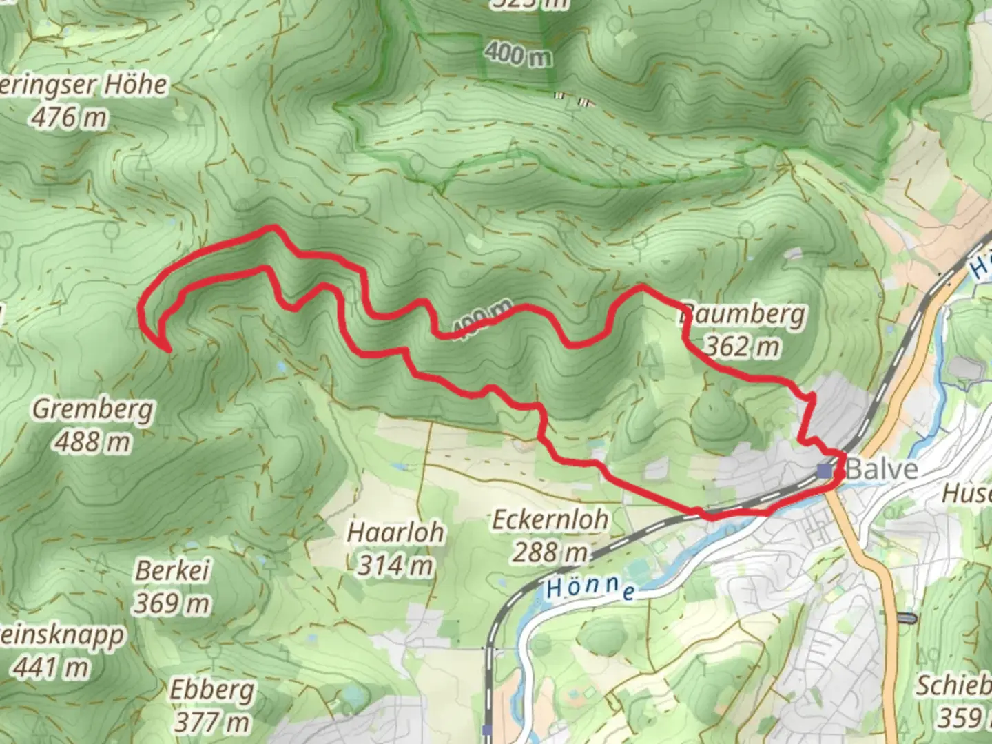
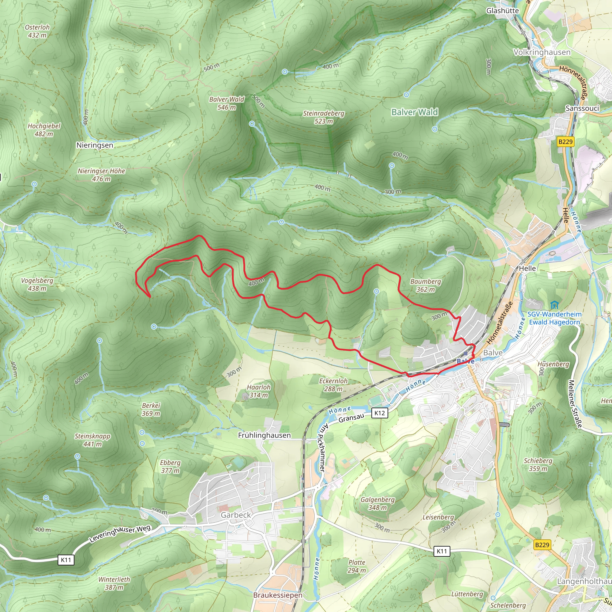
Starting near Märkischer Kreis in Germany, the Balve Rundweg Loop is a scenic 10 km (6.2 miles) trail with an elevation gain of approximately 300 meters (984 feet). This loop trail is rated as medium difficulty, making it suitable for moderately experienced hikers.### Getting There To reach the trailhead, you can either drive or use public transport. If driving, set your GPS to Balve, a small town in the Märkischer Kreis district. There is ample parking available near the town center. For those using public transport, take a train to Balve Station. From the station, it's a short walk to the trailhead.### Trail Overview The trail begins in the charming town of Balve, known for its historical significance and natural beauty. As you start your hike, you'll quickly find yourself surrounded by lush forests and rolling hills. The initial part of the trail is relatively flat, allowing you to ease into the hike.### Significant Landmarks and Nature Around the 2 km (1.2 miles) mark, you'll encounter the Balver Höhle, one of the largest cultural caves in Europe. This cave has been used for various events and concerts, adding a unique cultural touch to your hike. Continuing on, you'll pass through dense forests filled with oak and beech trees. Keep an eye out for local wildlife such as deer, foxes, and a variety of bird species.### Elevation Gain and Terrain As you approach the 5 km (3.1 miles) point, the trail begins to ascend more steeply. This section offers panoramic views of the surrounding Sauerland region, making the climb well worth the effort. The terrain here can be rocky and uneven, so sturdy hiking boots are recommended. The elevation gain in this section is about 150 meters (492 feet).### Historical Significance The region around Balve is rich in history. The town itself dates back to the early Middle Ages and has several historical buildings, including the St. Blasius Church, which you can visit either before or after your hike. The trail also passes near the Wocklum Castle, a beautiful 17th-century castle that adds a historical dimension to your journey.### Navigation and Safety For navigation, it's advisable to use the HiiKER app, which provides detailed maps and real-time updates. The trail is well-marked, but having a reliable navigation tool can enhance your hiking experience. Always carry enough water and snacks, as there are limited facilities along the trail.### Final Stretch The final 3 km (1.9 miles) of the trail are a gentle descent back into Balve. This section is less strenuous and allows you to enjoy the serene landscape as you make your way back to the starting point. The loop nature of the trail means you'll end where you began, making logistics simple.This hike offers a balanced mix of natural beauty, moderate physical challenge, and historical intrigue, making it a rewarding experience for those who undertake it.
What to expect?
Activity types
Comments and Reviews
User comments, reviews and discussions about the Balve Rundweg Loop, Germany.
4.33
average rating out of 5
3 rating(s)
