Download
Preview
Add to list
More
5.8 km
~1 hrs 25 min
156 m
Loop
“The Kastanienweg Loop in Mainz-Bingen is a scenic 6 km trail blending natural beauty, history, and moderate challenge.”
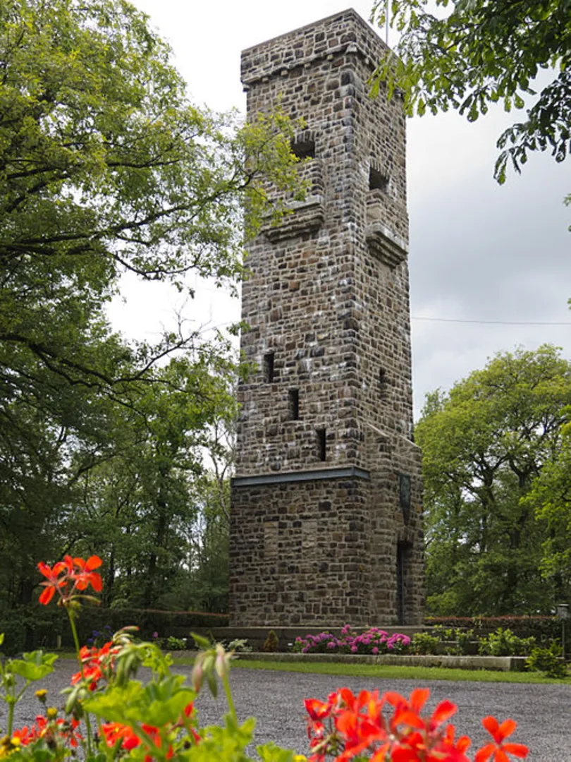
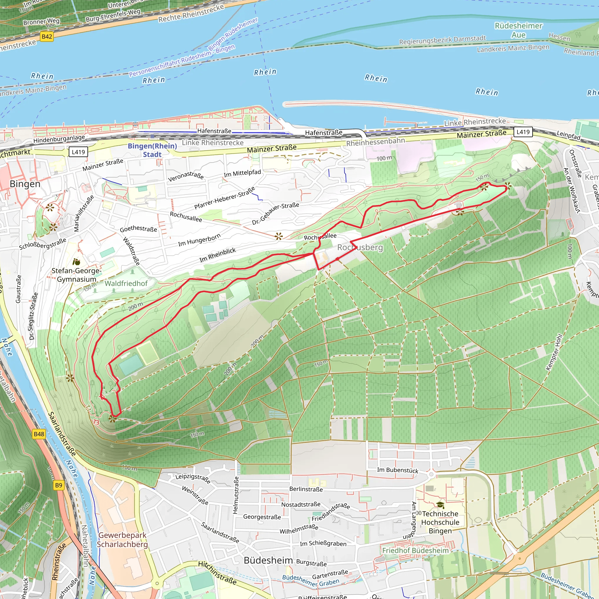
Starting near Mainz-Bingen, Germany, the Kastanienweg Loop is a delightful 6 km (approximately 3.7 miles) trail with an elevation gain of around 100 meters (328 feet). This loop trail is rated as medium difficulty, making it suitable for moderately experienced hikers.### Getting There To reach the trailhead, you can either drive or use public transport. If driving, set your GPS to the nearest known address: Bingerbrück, 55411 Bingen am Rhein, Germany. For those using public transport, take a train to Bingen (Rhein) Hauptbahnhof and then a local bus to Bingerbrück. From there, it's a short walk to the trailhead.### Trail Overview The trail begins with a gentle ascent through a mixed forest, predominantly featuring chestnut trees, which the trail is named after. The initial section is well-marked and easy to follow. As you ascend, you'll gain about 50 meters (164 feet) in the first 1.5 km (0.93 miles), offering a good warm-up for the rest of the hike.### Nature and Wildlife The Kastanienweg Loop is rich in biodiversity. Keep an eye out for local wildlife such as deer, foxes, and a variety of bird species. The chestnut trees are particularly beautiful in the autumn when their leaves turn a vibrant yellow and orange. Wildflowers are abundant in the spring and summer, adding a splash of color to the landscape.### Significant Landmarks Around the 3 km (1.86 miles) mark, you'll come across the ruins of a medieval watchtower. This tower once served as a lookout point to protect the region from invaders. Take a moment to explore the ruins and enjoy the panoramic views of the Rhine Valley.### Historical Significance The region around Mainz-Bingen has a rich history dating back to Roman times. The trail itself passes through areas that were once part of the Roman Empire, and you may notice remnants of ancient roads and structures. The chestnut trees were introduced to the area by the Romans, who valued them for their edible nuts and durable wood.### Navigation To ensure you stay on track, it's advisable to use the HiiKER app, which provides detailed maps and real-time navigation. The trail is generally well-marked, but having a reliable navigation tool can enhance your hiking experience.### Final Stretch The last 2 km (1.24 miles) of the trail involve a gentle descent back to the starting point. This section is relatively easy and offers more opportunities to enjoy the natural beauty of the area. As you approach the end of the loop, you'll pass through a picturesque meadow, perfect for a short rest or a picnic.### Practical Tips - Wear sturdy hiking boots, as some sections can be rocky and uneven. - Bring enough water and snacks, especially if you plan to take your time exploring the landmarks. - Check the weather forecast before you go, as the trail can be slippery after rain.The Kastanienweg Loop offers a perfect blend of natural beauty, historical landmarks, and moderate physical challenge, making it a rewarding hike for those looking to explore the scenic and historical richness of the Mainz-Bingen region.
What to expect?
Activity types
Comments and Reviews
User comments, reviews and discussions about the Kastanienweg Loop, Germany.
4.25
average rating out of 5
8 rating(s)

