Download
Preview
Add to list
More
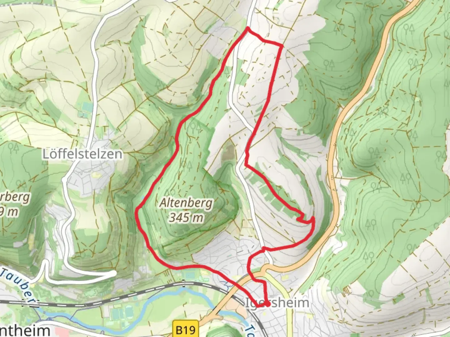
9.1 km
~2 hrs 8 min
193 m
Loop
“The Erlenbachtalstraße Loop is a scenic, historic 9 km trail in Germany, perfect for moderate hikers.”
Starting near Main-Tauber-Kreis, Germany, the Erlenbachtalstraße Loop is a picturesque 9 km (5.6 miles) trail with an elevation gain of approximately 100 meters (328 feet). This loop trail is rated as medium difficulty, making it suitable for moderately experienced hikers.
Getting There
To reach the trailhead, you can drive or use public transport. If driving, set your GPS to Main-Tauber-Kreis, and you will find parking options near the starting point. For those using public transport, the nearest significant landmark is the Tauberbischofsheim train station. From there, you can take a local bus or taxi to the trailhead.
Trail Overview
The trail begins with a gentle ascent through a lush forest, offering a serene start to your hike. As you progress, you will encounter a mix of deciduous and coniferous trees, providing ample shade and a cool environment, especially during the summer months.
Key Landmarks and Points of Interest
- Erlenbach Stream: About 2 km (1.2 miles) into the hike, you will come across the Erlenbach stream. This is a great spot to take a short break and enjoy the soothing sounds of flowing water.
- Historical Significance: The region around Main-Tauber-Kreis is rich in history. Keep an eye out for old stone markers and remnants of ancient pathways that date back to medieval times. These markers often have inscriptions that tell stories of the past.
- Wildlife: The trail is home to a variety of wildlife, including deer, foxes, and numerous bird species. Early morning hikers might catch a glimpse of these animals in their natural habitat.
Mid-Trail Highlights
- Scenic Overlook: Around the 5 km (3.1 miles) mark, the trail opens up to a scenic overlook. Here, you can enjoy panoramic views of the Tauber Valley. This spot is perfect for photography enthusiasts.
- Flora: The mid-section of the trail is adorned with wildflowers, especially in spring and early summer. Look out for species like the European columbine and wild orchids.
Navigation and Safety
Using HiiKER for navigation is highly recommended. The app provides detailed maps and real-time updates, ensuring you stay on the right path. The trail is well-marked, but having a reliable navigation tool adds an extra layer of security.
Final Stretch
The last 2 km (1.2 miles) of the trail take you through open meadows and farmland. This section is relatively flat, allowing for a leisurely end to your hike. As you approach the trailhead, you will pass by a small chapel, a quiet place for reflection and rest before concluding your journey.
Practical Tips
- Footwear: Wear sturdy hiking boots, as some sections of the trail can be rocky and uneven.
- Water and Snacks: Carry enough water and snacks, especially if you plan to take breaks at the scenic spots.
- Weather: Check the weather forecast before heading out. The trail can be slippery after rain, so plan accordingly.
The Erlenbachtalstraße Loop offers a blend of natural beauty, historical intrigue, and moderate physical challenge, making it a rewarding experience for hikers.

What to expect?
Activity types
Comments and Reviews
User comments, reviews and discussions about the Erlenbachtalstraße Loop, Germany.
4.0
average rating out of 5
2 rating(s)