Download
Preview
Add to list
More
9.0 km
~2 hrs 14 min
263 m
Loop
“Embark on a scenic 9 km hike featuring serene forests, medieval ruins, and panoramic countryside views.”
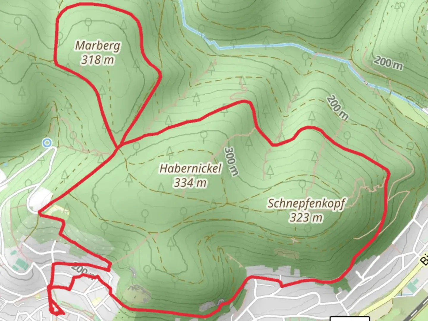
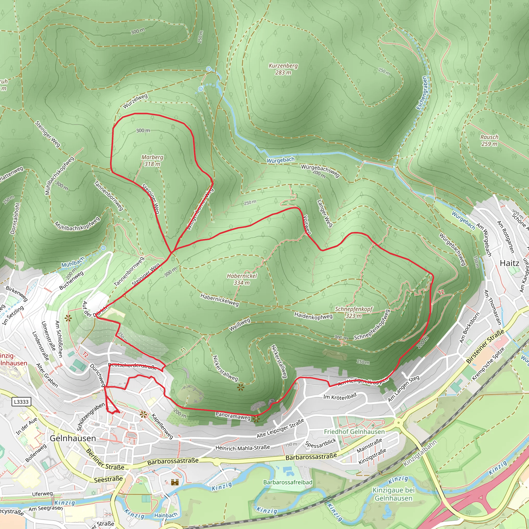
Starting your hike near Main-Kinzig-Kreis, Germany, the Voitweg, Wurzelweg, and Steinerner Weg Loop is a captivating 9 km (5.6 miles) journey with an elevation gain of approximately 200 meters (656 feet). This loop trail is rated medium in difficulty, making it suitable for moderately experienced hikers.### Getting There To reach the trailhead, you can drive or use public transportation. If driving, set your GPS to the nearest known address: Bahnhofstraße 1, 63571 Gelnhausen, Germany. From there, it's a short drive to the trailhead. For those using public transport, take a train to Gelnhausen Station. From the station, you can either take a local bus or a taxi to the trailhead.### Trail Overview The trail begins with a gentle ascent through a mixed forest, offering a serene start to your hike. The first section, Voitweg, is characterized by well-maintained paths and occasional wooden benches where you can rest and enjoy the natural surroundings. As you progress, you'll encounter the Wurzelweg section, known for its root-covered paths that require careful footing. This part of the trail is particularly enchanting, with dense foliage and the sound of rustling leaves accompanying your steps.### Significant Landmarks Around the 3 km (1.9 miles) mark, you'll come across a historical landmark: the ruins of Burg Ronneburg, a medieval castle that dates back to the 13th century. The castle offers a glimpse into the region's rich history and provides a perfect spot for a short break and some photography.Continuing on, the trail transitions into the Steinerner Weg section, where you'll encounter rocky terrain and slight inclines. This part of the trail offers panoramic views of the surrounding countryside, making the effort well worth it. Keep an eye out for local wildlife, including deer and various bird species, which are commonly spotted in this area.### Navigation and Safety Given the varied terrain, it's advisable to use a reliable navigation tool like HiiKER to stay on track. The app will help you navigate the root-covered paths and rocky sections, ensuring a smooth hiking experience. Always carry a map and a compass as a backup, and make sure to wear sturdy hiking boots to handle the diverse trail conditions.### Flora and Fauna The trail is rich in biodiversity. In spring and summer, you'll find a variety of wildflowers, including bluebells and daisies, adding a splash of color to the landscape. The forested areas are home to oak, beech, and pine trees, providing ample shade and a cool respite during warmer months.### Final Stretch As you near the end of the loop, the trail descends gently back towards the starting point. This final section is less demanding, allowing you to relax and reflect on the journey. The loop brings you full circle, ending where you began, near Main-Kinzig-Kreis.This 9 km loop offers a balanced mix of natural beauty, historical landmarks, and moderate physical challenge, making it a rewarding experience for any hiker.
What to expect?
Activity types
Comments and Reviews
User comments, reviews and discussions about the Voitweg, Wurzelweg and Steinerner Weg Loop, Germany.
5.0
average rating out of 5
2 rating(s)
