Download
Preview
Add to list
More
8.6 km
~1 hrs 58 min
163 m
Loop
“Explore a 9 km scenic loop with forests, historical sites, and panoramic views near Rodenbach, Germany.”
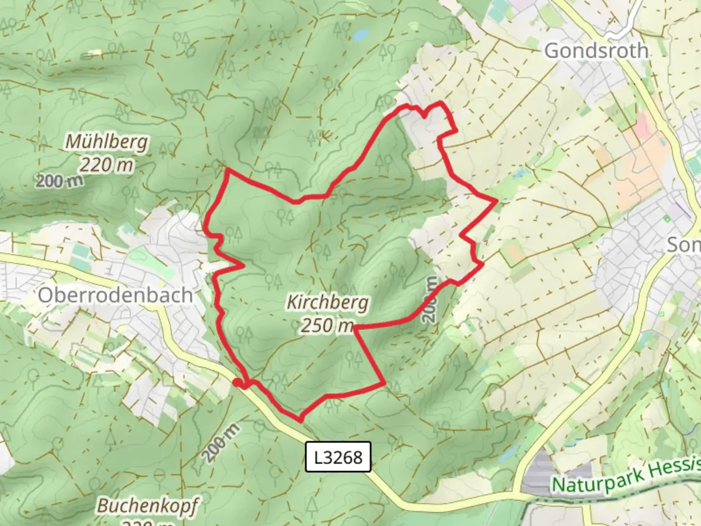
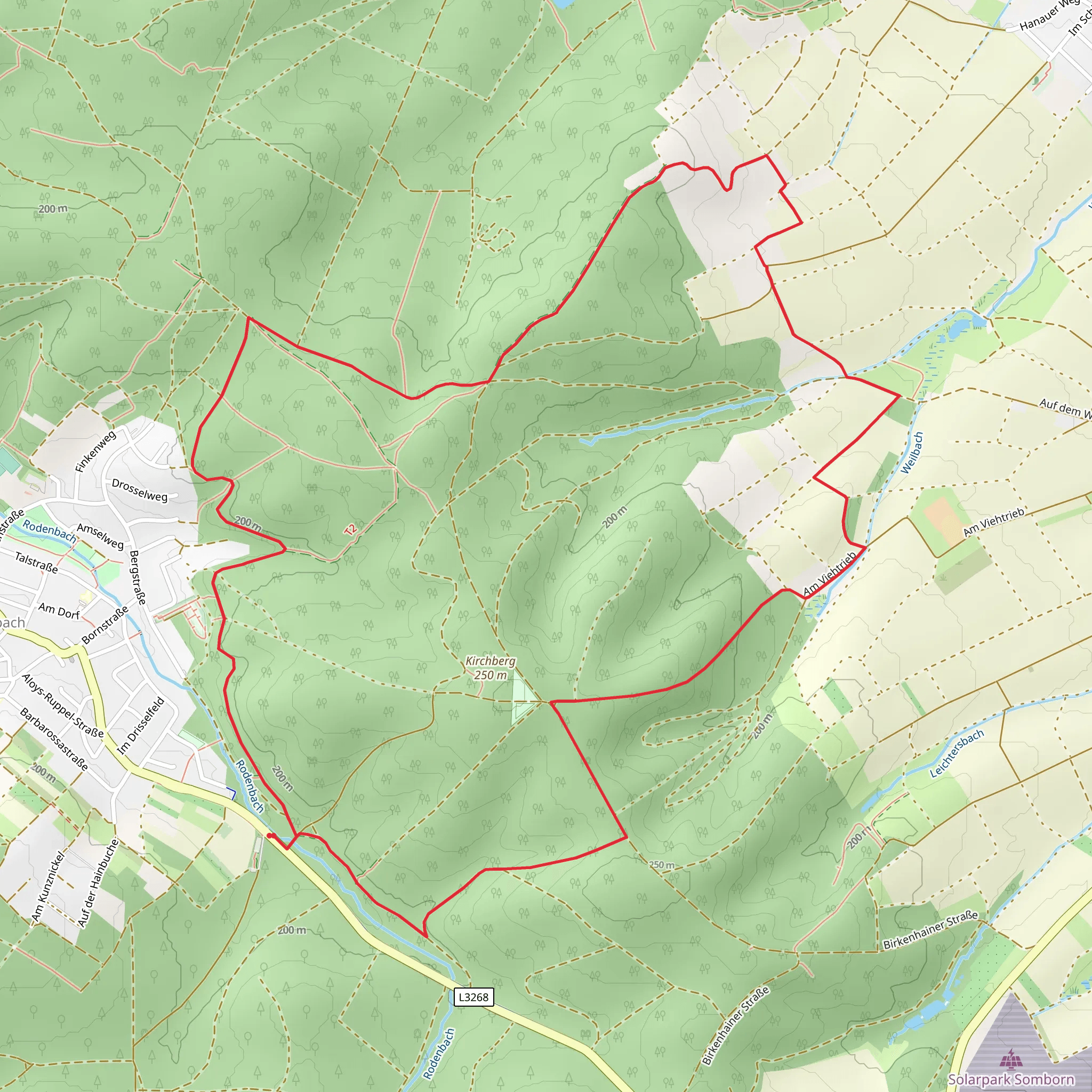
Starting your hike near Main-Kinzig-Kreis, Germany, the Rodenbach and Edelweissweg Loop offers a delightful 9 km (approximately 5.6 miles) journey with an elevation gain of around 100 meters (328 feet). This loop trail is rated as medium difficulty, making it suitable for moderately experienced hikers.### Getting There To reach the trailhead, you can drive or use public transport. If driving, set your GPS to the vicinity of Rodenbach, Main-Kinzig-Kreis. For those using public transport, take a train to the Rodenbach station, which is well-connected from major cities like Frankfurt. From the station, it's a short walk to the trailhead.### Trail Overview The trail begins with a gentle ascent, leading you through a mix of deciduous and coniferous forests. Early on, you'll encounter the serene Rodenbach Lake, a perfect spot for a brief rest or a photo opportunity. The lake is approximately 1.5 km (0.9 miles) from the start, and the elevation gain here is minimal, making it an easy warm-up.### Historical Significance As you continue, you'll come across remnants of historical significance. The area around Main-Kinzig-Kreis has a rich history dating back to Roman times. Keep an eye out for old boundary stones and markers that hint at the region's past. Around the 4 km (2.5 miles) mark, you'll find an old watchtower, a relic from medieval times when the area was part of a defensive line.### Flora and Fauna The trail is abundant with diverse flora and fauna. Depending on the season, you might see wildflowers like Edelweiss, which the trail is named after. The forested sections are home to various bird species, so bring your binoculars if you're a bird-watching enthusiast. Deer and foxes are also commonly sighted, especially in the early morning or late afternoon.### Midpoint and Elevation At around the 5 km (3.1 miles) point, you'll reach the highest elevation of the trail, approximately 100 meters (328 feet) above the starting point. This section offers panoramic views of the surrounding countryside, making it an ideal spot for a lunch break. The descent from here is gradual, allowing you to enjoy the scenery without too much strain.### Navigation For navigation, it's highly recommended to use the HiiKER app, which provides detailed maps and real-time updates. The trail is well-marked, but having a reliable navigation tool ensures you stay on track and can explore any interesting detours confidently.### Final Stretch The final 2 km (1.2 miles) of the trail loop back towards Rodenbach, passing through open meadows and small streams. This section is relatively flat, providing a relaxing end to your hike. As you approach the trailhead, you'll pass by a small local café where you can enjoy a well-deserved refreshment.This loop trail offers a balanced mix of natural beauty, historical intrigue, and moderate physical challenge, making it a rewarding experience for any hiker.
What to expect?
Activity types
Comments and Reviews
User comments, reviews and discussions about the Rodenbach and Edelweissweg Loop, Germany.
4.0
average rating out of 5
1 rating(s)
