Download
Preview
Add to list
More
7.4 km
~1 hrs 45 min
175 m
Loop
“Explore the 7 km Kreuzbergweg and Sterbfritz Rundweg for a rewarding hike with nature, history, and wildlife.”
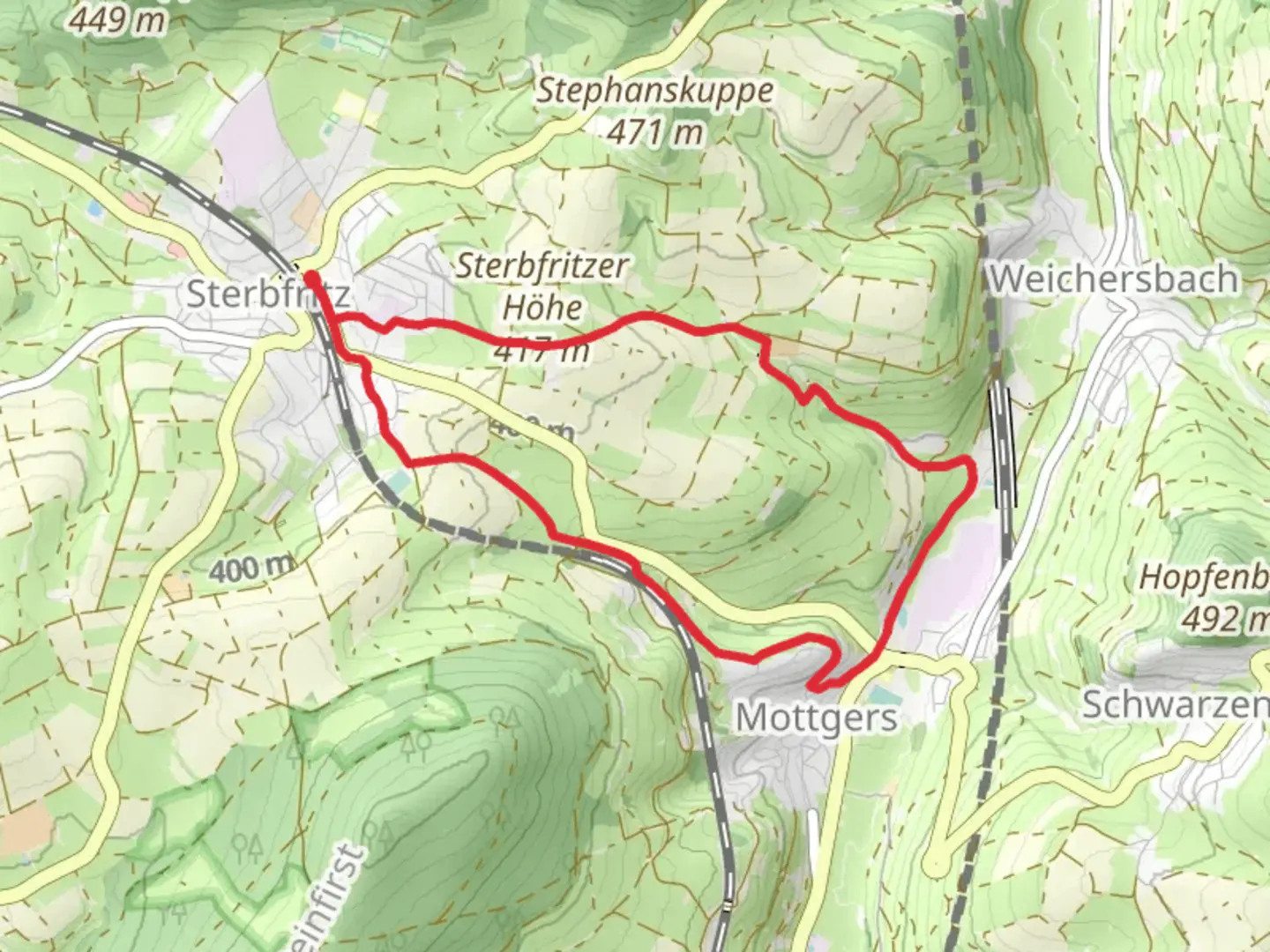
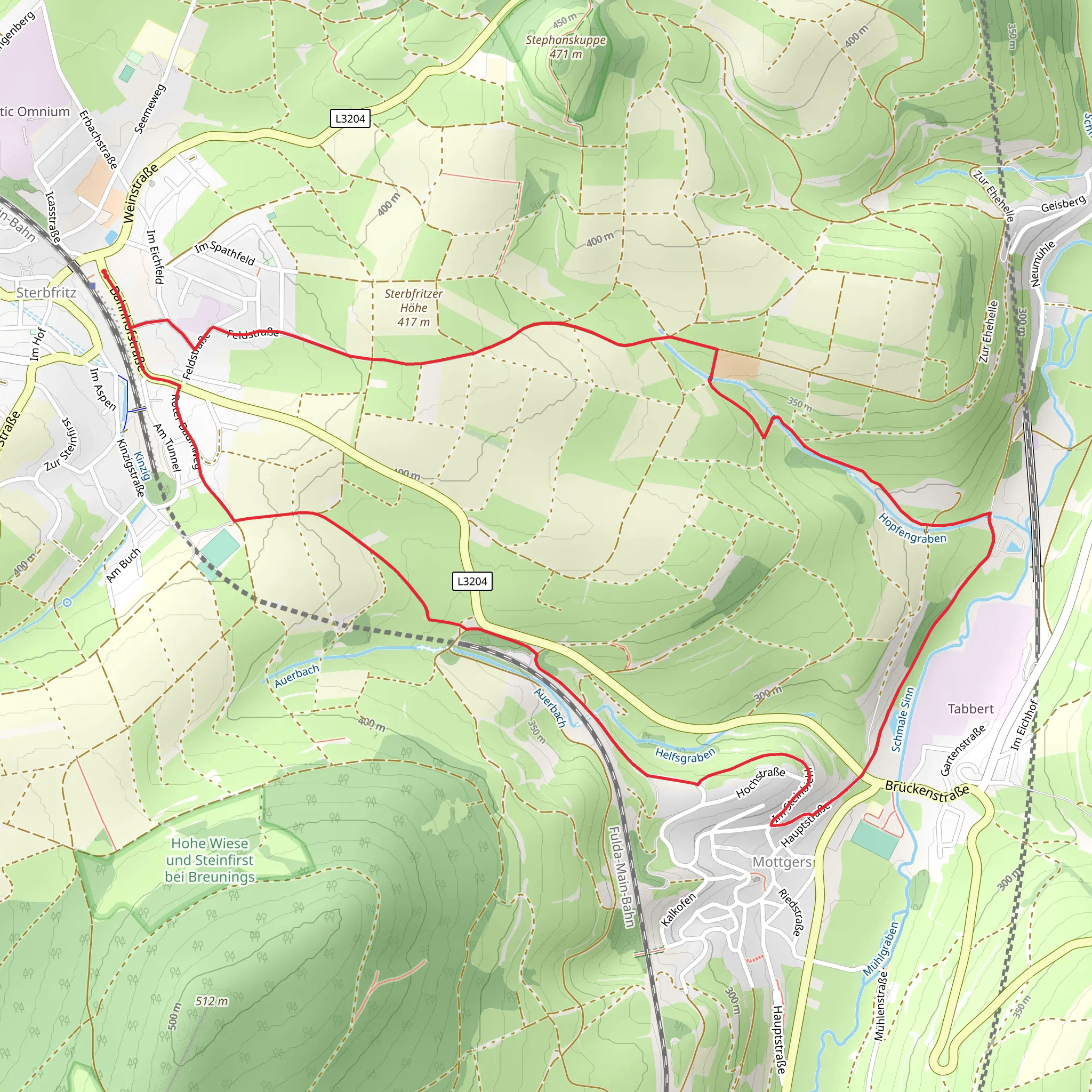
Starting near Main-Kinzig-Kreis, Germany, the Kreuzbergweg and Sterbfritz Rundweg is a delightful 7 km (4.35 miles) loop trail with an elevation gain of approximately 100 meters (328 feet). This medium-difficulty trail offers a blend of natural beauty, historical landmarks, and a touch of local wildlife, making it a rewarding experience for hikers of various skill levels.### Getting There To reach the trailhead, you can either drive or use public transport. If driving, set your GPS to Main-Kinzig-Kreis, Germany, and look for parking near the trailhead. For those using public transport, take a train or bus to the nearest station in Main-Kinzig-Kreis. From there, local buses or a short taxi ride will get you to the starting point.### Trail Navigation For navigation, it’s highly recommended to use the HiiKER app, which provides detailed maps and real-time updates to ensure you stay on track.### Trail Highlights As you embark on the trail, you’ll first encounter a gentle ascent, gaining about 50 meters (164 feet) in the first 2 km (1.24 miles). This section is shaded by dense forest, offering a cool and serene environment. Keep an eye out for local wildlife such as deer and various bird species that inhabit this area.### Historical Significance Around the 3 km (1.86 miles) mark, you’ll come across the remnants of an old stone structure, believed to be part of a medieval settlement. This site offers a glimpse into the region’s rich history and is a great spot for a short break and some photos.### Scenic Views Continuing on, the trail opens up to a more exposed area with rolling hills and panoramic views of the surrounding countryside. This section, between the 4 km (2.48 miles) and 5 km (3.11 miles) marks, is relatively flat and provides a nice contrast to the earlier forested part of the hike.### Flora and Fauna The final stretch of the trail takes you through a meadow filled with wildflowers, especially vibrant in the spring and summer months. This area is also a haven for butterflies and bees, adding a lively touch to your hike.### Completing the Loop As you near the end of the loop, you’ll descend back into a wooded area, gradually losing the elevation you gained at the start. The last 2 km (1.24 miles) are a gentle downhill walk, bringing you back to the trailhead.### Practical Tips - Wear sturdy hiking boots, as some sections can be uneven. - Bring enough water and snacks, especially if you plan to take your time exploring the historical sites and scenic viewpoints. - Check the weather forecast before heading out, as the trail can be slippery after rain.This trail offers a balanced mix of natural beauty, historical intrigue, and moderate physical challenge, making it a perfect day hike for those looking to explore the Main-Kinzig-Kreis region.
Comments and Reviews
User comments, reviews and discussions about the Kreuzbergweg and Sterbfritz Rundweg, Germany.
4.67
average rating out of 5
3 rating(s)
