Download
Preview
Add to list
More
13.2 km
~3 hrs 15 min
375 m
Loop
“The Gelnhaeuser Rundweg is a scenic 13-km trail blending natural beauty, historical landmarks, and wildlife.”
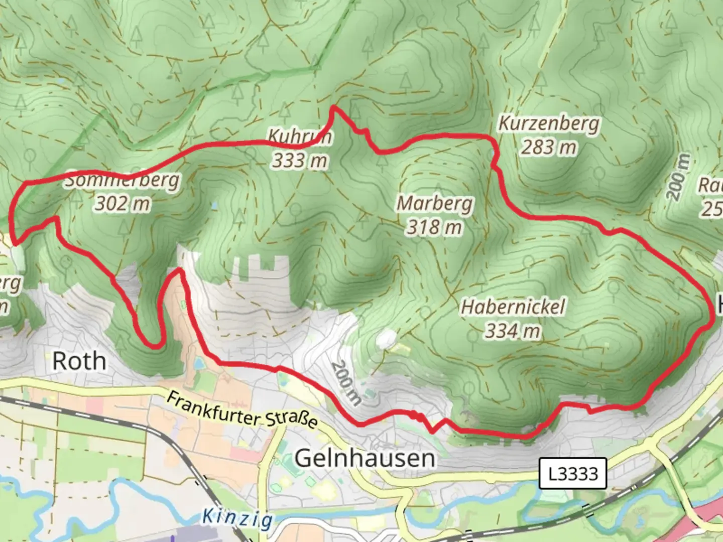
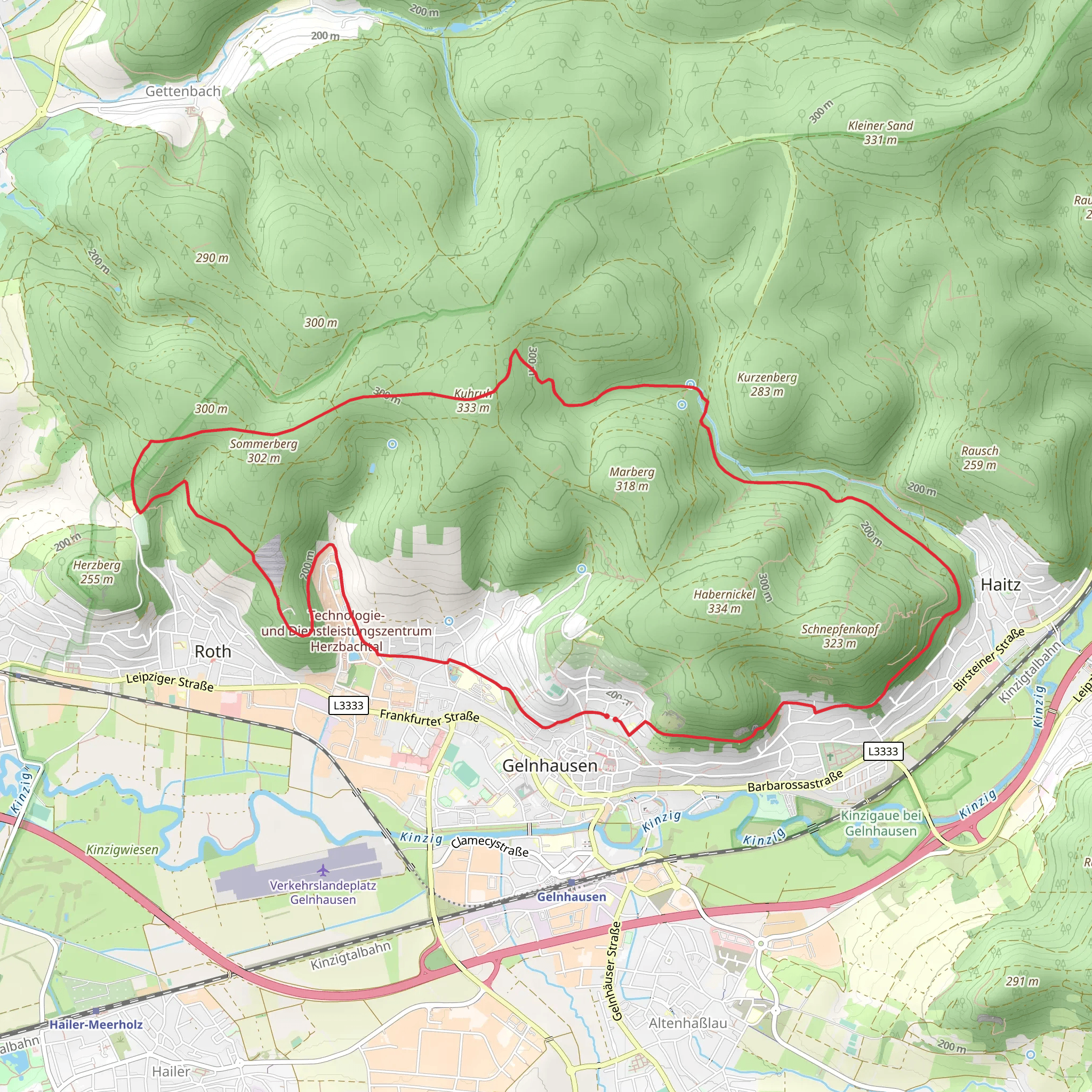
Starting near Main-Kinzig-Kreis, Germany, the Gelnhaeuser Rundweg is a scenic loop trail that spans approximately 13 kilometers (8 miles) with an elevation gain of around 300 meters (984 feet). This medium-difficulty trail offers a blend of natural beauty, historical landmarks, and diverse wildlife, making it a rewarding experience for hikers.### Getting ThereTo reach the trailhead, you can either drive or use public transport. If driving, set your GPS to Gelnhausen, a town in the Main-Kinzig-Kreis district. There are several parking options available near the starting point. For those using public transport, Gelnhausen is well-connected by train. The nearest train station is Gelnhausen Bahnhof, from where you can either walk or take a short taxi ride to the trailhead.### Trail OverviewThe Gelnhaeuser Rundweg begins in the picturesque town of Gelnhausen, known for its medieval architecture and historical significance. As you start your hike, you'll pass through charming cobblestone streets and ancient buildings, including the Marienkirche, a stunning Gothic church dating back to the 13th century.### Nature and WildlifeAs you leave the town behind, the trail meanders through lush forests and open meadows. The diverse flora includes oak, beech, and pine trees, providing ample shade and a serene atmosphere. Keep an eye out for local wildlife such as deer, foxes, and a variety of bird species. The trail is particularly beautiful in spring when wildflowers bloom, adding a splash of color to the landscape.### Significant LandmarksAround the 5-kilometer (3.1-mile) mark, you'll come across the Barbarossaburg, also known as the Kaiserpfalz Gelnhausen. This imperial palace was built in the 12th century by Emperor Frederick I, also known as Barbarossa. The ruins offer a glimpse into the region's rich history and provide a perfect spot for a short break.Continuing on, the trail ascends gradually, offering panoramic views of the surrounding countryside. The highest point of the trail is approximately 300 meters (984 feet) above sea level, providing a rewarding vantage point to take in the scenic vistas.### Navigation and SafetyThe trail is well-marked, but it's always a good idea to have a reliable navigation tool. HiiKER is an excellent app for this purpose, offering detailed maps and real-time GPS tracking to ensure you stay on course. ### Final StretchAs you loop back towards Gelnhausen, the trail descends gently through more forested areas and open fields. The final stretch brings you back into the town, where you can explore more of its historical sites or enjoy a meal at one of the local restaurants.### Practical Tips- Wear sturdy hiking boots, as some sections can be uneven or muddy, especially after rain. - Bring enough water and snacks, as there are limited facilities along the trail. - Check the weather forecast before heading out, and dress in layers to accommodate changing conditions. - If you're hiking in the summer, consider starting early to avoid the midday heat.The Gelnhaeuser Rundweg offers a perfect blend of natural beauty, historical intrigue, and moderate physical challenge, making it an ideal choice for a day hike.
Comments and Reviews
User comments, reviews and discussions about the Gelnhaeuser Rundweg, Germany.
4.5
average rating out of 5
2 rating(s)
