Bad Soden to Sarrod via Bad Soden - Salmuenster Wanderweg
Download
Preview
Add to list
More
12.1 km
~3 hrs 4 min
395 m
Point-to-Point
“A 12-kilometer scenic hike blending natural splendor, historical landmarks, and diverse wildlife in Main-Kinzig-Kreis.”
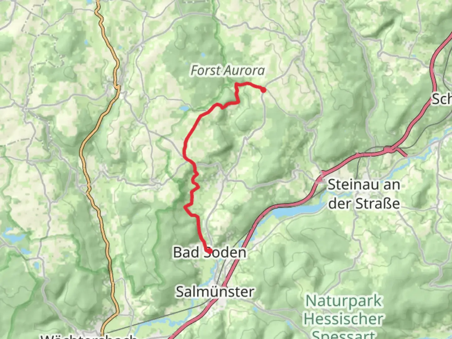
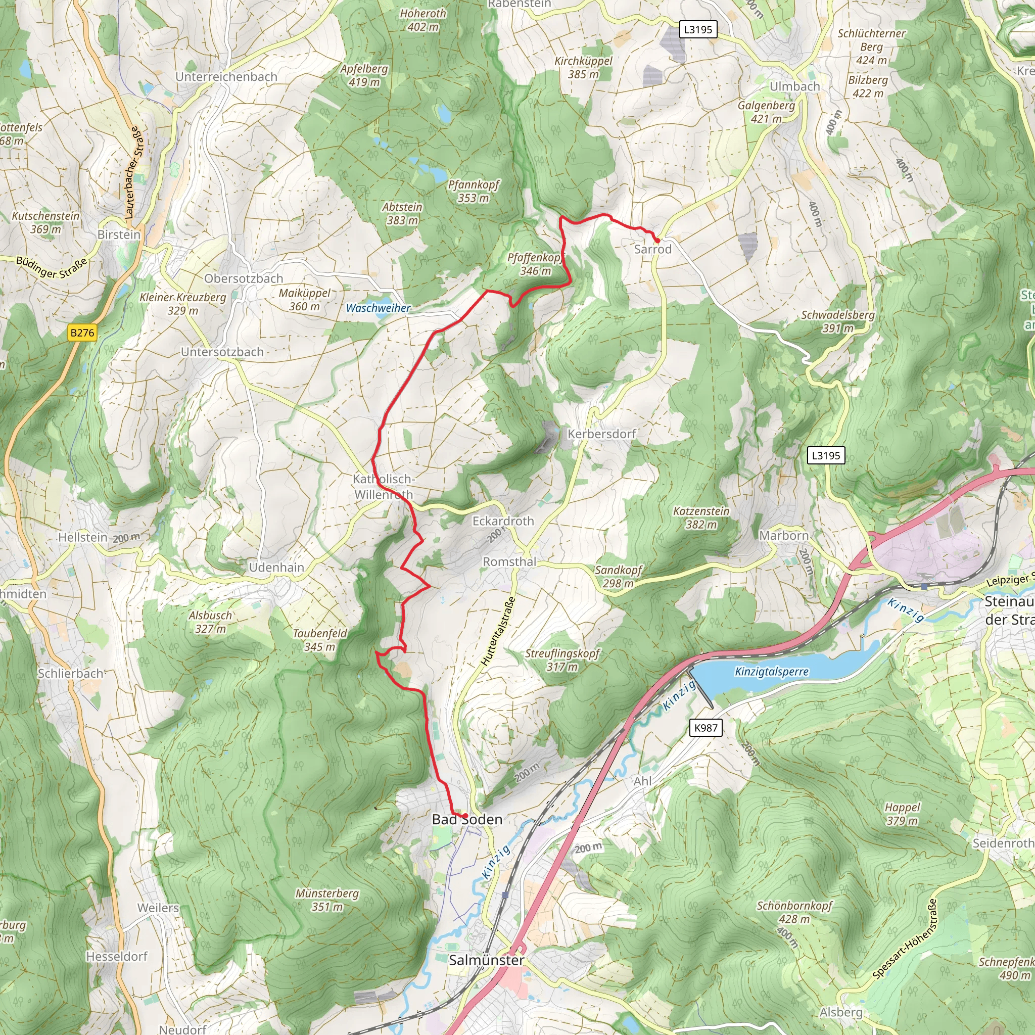
Starting near Main-Kinzig-Kreis, Germany, the Bad Soden to Sarrod via Bad Soden - Salmuenster Wanderweg is a picturesque point-to-point trail stretching approximately 12 kilometers (7.5 miles) with an elevation gain of around 300 meters (984 feet). This medium-difficulty hike offers a blend of natural beauty, historical landmarks, and diverse wildlife, making it a rewarding experience for outdoor enthusiasts.### Getting There To reach the trailhead, you can either drive or use public transportation. If driving, set your GPS to Bad Soden-Salmünster, a town in the Main-Kinzig-Kreis district. There are parking facilities available near the starting point. For those opting for public transport, take a train to Bad Soden-Salmünster station. From there, it's a short walk to the trailhead.### Trail Overview The trail begins in the charming town of Bad Soden-Salmünster, known for its therapeutic spas and historical architecture. As you set off, you'll traverse through lush forests and open meadows, offering a serene escape from urban life. The initial part of the trail is relatively flat, making it an excellent warm-up for the more challenging sections ahead.### Significant Landmarks and Nature Around the 3-kilometer (1.9-mile) mark, you'll encounter the ruins of Burg Stolzenberg, a medieval castle that offers a glimpse into the region's rich history. The castle ruins are perched on a hill, providing panoramic views of the surrounding landscape. This is an ideal spot for a short break and some photography.Continuing on, the trail meanders through dense woodlands, where you might spot local wildlife such as deer, foxes, and a variety of bird species. The forested sections are particularly enchanting during the autumn months when the foliage turns vibrant shades of red and gold.### Elevation and Terrain As you approach the halfway point, the trail begins to ascend more steeply, gaining approximately 150 meters (492 feet) in elevation over the next 4 kilometers (2.5 miles). This section can be challenging, especially after rain, as the path may become slippery. Good hiking boots and trekking poles are recommended for added stability.### Navigation and Safety The trail is well-marked with signs and blazes, but it's always a good idea to have a reliable navigation tool. HiiKER is an excellent app for this purpose, providing detailed maps and real-time GPS tracking to ensure you stay on course.### Final Stretch The last segment of the trail descends gradually into the quaint village of Sarrod. Here, you'll find traditional German architecture and a few local eateries where you can enjoy a well-deserved meal. The village is also accessible by public transport, making it easy to return to your starting point or continue your journey.### Historical Significance The region around Bad Soden-Salmünster and Sarrod has a rich history dating back to the Roman era. The area was a significant trade route and has numerous historical sites, including ancient Roman roads and medieval castles. The trail itself follows some of these historical paths, offering a unique blend of natural beauty and historical intrigue.This hike is a perfect blend of moderate physical challenge, historical exploration, and natural beauty, making it a must-do for anyone visiting the Main-Kinzig-Kreis region.
Comments and Reviews
User comments, reviews and discussions about the Bad Soden to Sarrod via Bad Soden - Salmuenster Wanderweg, Germany.
5.0
average rating out of 5
2 rating(s)
