Download
Preview
Add to list
More
6.7 km
~1 hrs 47 min
270 m
Point-to-Point
“This scenic 7 km trail in Germany combines lush forests, medieval ruins, and breathtaking valley views.”
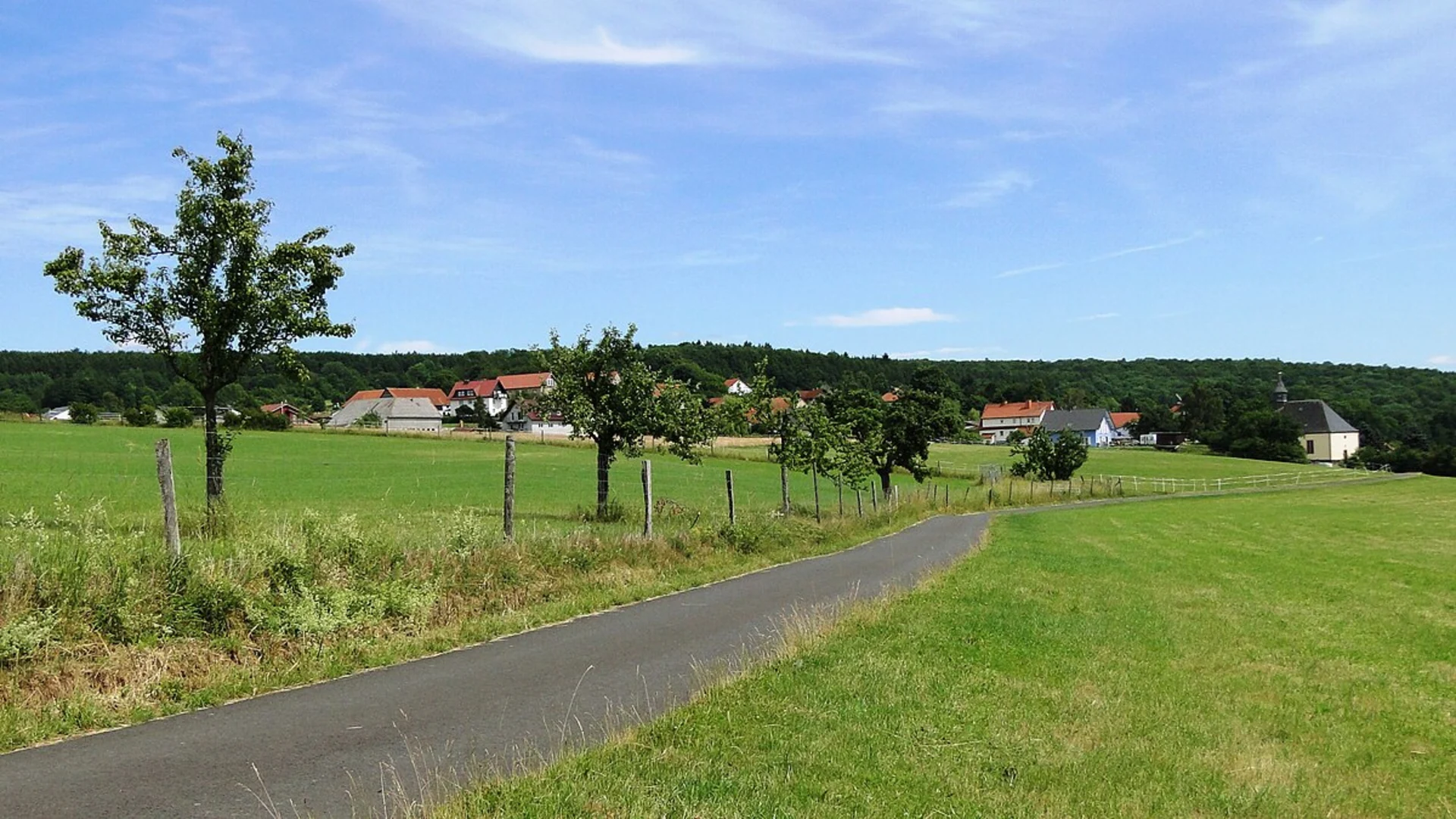
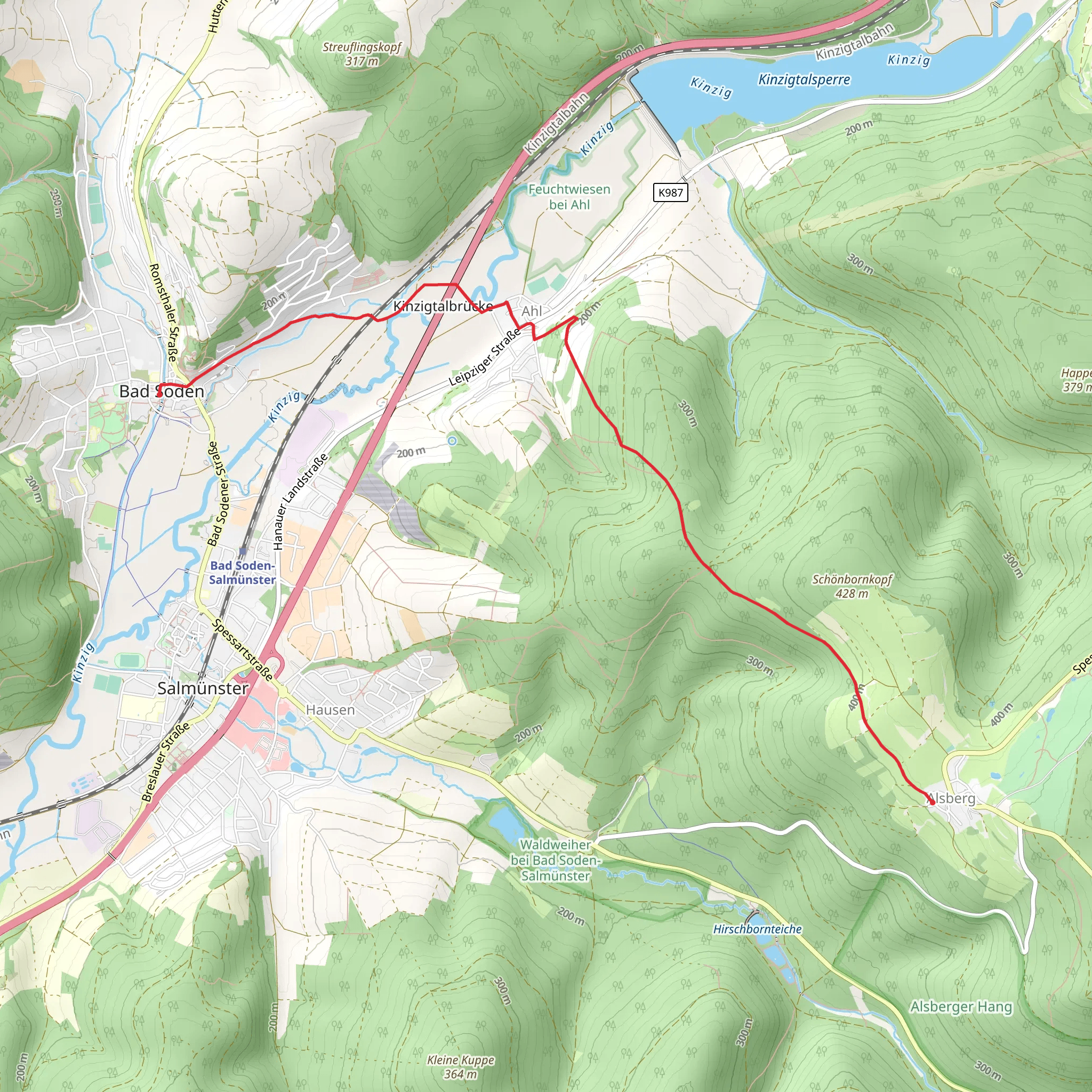
Starting near the Main-Kinzig-Kreis in Germany, this 7 km (approximately 4.3 miles) point-to-point trail offers a delightful mix of natural beauty and historical intrigue. With an elevation gain of around 200 meters (656 feet), the trail is rated as medium difficulty, making it suitable for moderately experienced hikers.### Getting There To reach the trailhead, you can either drive or use public transport. If driving, set your GPS to Bad Soden-Salmünster, a town in the Main-Kinzig-Kreis district. For those using public transport, take a train to Bad Soden-Salmünster station, which is well-connected to major cities like Frankfurt. From the station, it's a short walk to the trailhead.### Trail Overview The trail begins near the picturesque town of Bad Soden-Salmünster, known for its spa facilities and charming half-timbered houses. As you set off, you'll be greeted by lush forests and rolling hills, typical of the Hessian landscape. The initial part of the trail is relatively flat, allowing you to ease into the hike.### Key Landmarks and Points of Interest - Spessart Nature Park: As you progress, you'll enter the Spessart Nature Park, a vast area known for its dense woodlands and diverse wildlife. Keep an eye out for deer, wild boar, and a variety of bird species. - Historical Sites: Around the 3 km (1.9 miles) mark, you'll come across remnants of medieval fortifications. These ruins offer a glimpse into the region's storied past, dating back to the Middle Ages when the area was a strategic defensive point. - Panoramic Views: At approximately 4 km (2.5 miles), the trail begins to ascend, offering panoramic views of the Kinzig Valley. This section involves a steady climb, contributing to the overall elevation gain of 200 meters (656 feet). The effort is well worth it, as the vistas are breathtaking.### Flora and Fauna The trail is a haven for nature enthusiasts. The forested areas are rich with oak, beech, and pine trees. During spring and summer, the undergrowth is adorned with wildflowers, adding a splash of color to the verdant landscape. In autumn, the foliage transforms into a tapestry of reds, oranges, and yellows.### Navigation and Safety For navigation, it's highly recommended to use the HiiKER app, which provides detailed maps and real-time updates. The trail is well-marked, but having a reliable navigation tool ensures you stay on track.### Final Stretch As you near the end of the trail, you'll descend into the town of Salmünster. This section is less strenuous, allowing you to cool down and enjoy the final leg of your hike. Salmünster is another charming town with historical buildings and local eateries where you can relax and refuel.### Practical Tips - Footwear: Wear sturdy hiking boots, as some sections can be rocky and uneven. - Weather: Check the weather forecast before you set out. The trail can be slippery after rain. - Supplies: Carry enough water and snacks, especially if you plan to take breaks and enjoy the scenery. - Wildlife: While encounters with wildlife are rare, it's always good to be cautious and respectful of their habitat.This trail offers a perfect blend of natural beauty, historical landmarks, and moderate physical challenge, making it a rewarding experience for any hiker.
Comments and Reviews
User comments, reviews and discussions about the Bad Soden - Salmuenster Wanderweg, Germany.
4.0
average rating out of 5
1 rating(s)

