18.0 km
~4 hrs 2 min
265 m
Download
Preview
Add to list
More
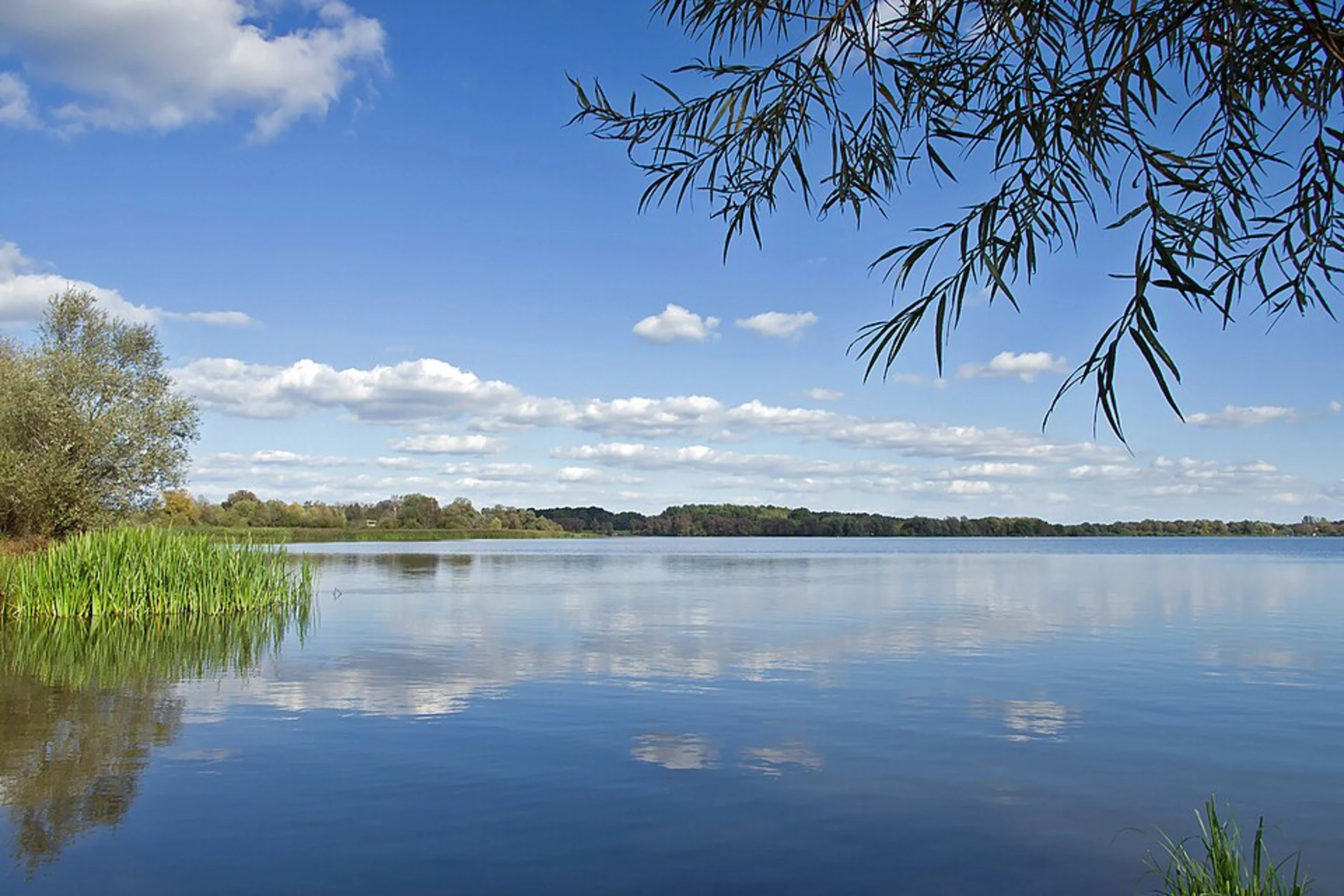
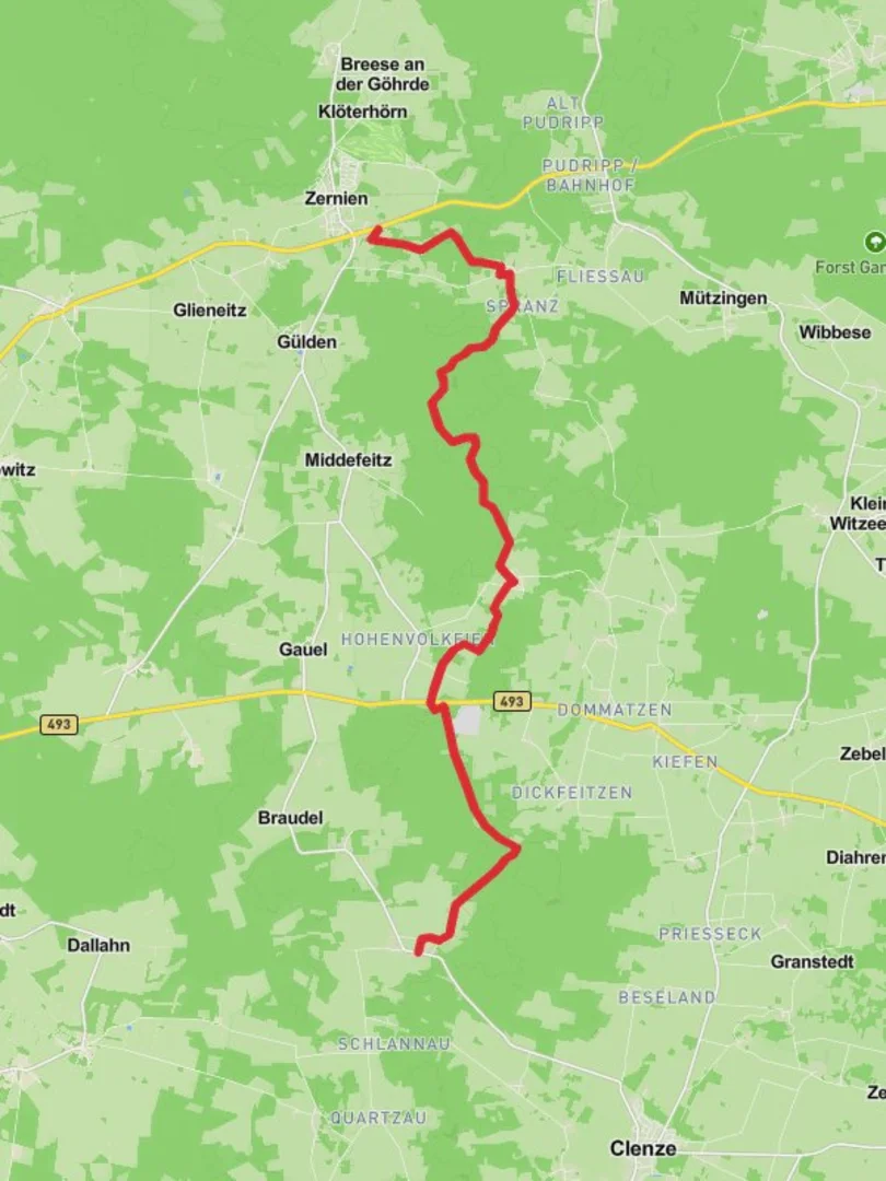
“Explore lush forests, vibrant vistas, and historical landscapes on the serene Zernien to Gohlefanz trail.”
Nestled in the serene landscapes of Lower Saxony, Germany, the Zernien to Gohlefanz Walk via Hoher Mechtin offers a delightful journey through lush forests and gentle hills. This 18 km (approximately 11 miles) point-to-point trail is perfect for those seeking a leisurely hike with minimal elevation gain, around 200 meters (about 656 feet), making it accessible for hikers of all skill levels.
Getting There
The trailhead is conveniently located near Lüchow-Dannenberg. If you're traveling by car, you can park near Zernien, a small village that serves as the starting point. For those relying on public transport, the nearest major town is Lüchow, which is well-connected by regional buses. From Lüchow, a short bus ride or taxi can take you to Zernien.
Trail Highlights
Hoher Mechtin: As you embark on this trail, one of the key highlights is the ascent to Hoher Mechtin, the highest point in the Wendland region. Although the elevation is modest, the views from the top are rewarding, offering a panoramic vista of the surrounding countryside. This area is particularly beautiful in the spring and autumn when the foliage is vibrant.
Flora and Fauna: The trail meanders through a diverse landscape, including dense woodlands and open meadows. Keep an eye out for native wildlife such as deer and various bird species. The forests are rich with oak and beech trees, providing ample shade and a tranquil atmosphere.
Cultural and Historical Significance: The region around Lüchow-Dannenberg is steeped in history. As you walk, you'll pass through areas that have been inhabited since prehistoric times. The Wendland region is known for its unique Rundlingsdörfer, or circular villages, which are a testament to the area's medieval past. Although the trail itself does not pass directly through these villages, they are worth a detour if time permits.
Navigation and Safety
While the trail is well-marked, it's always wise to have a reliable navigation tool. HiiKER is an excellent app for this purpose, providing detailed maps and real-time location tracking. The trail is generally safe, but as with any outdoor activity, it's important to be prepared with adequate water, snacks, and weather-appropriate clothing.
Final Stretch
As you approach Gohlefanz, the trail descends gently, leading you through picturesque farmland and small hamlets. The endpoint is a perfect spot to relax and reflect on the journey. From Gohlefanz, you can arrange for transportation back to your starting point or continue exploring the charming region of Lower Saxony.

Reviews
User comments, reviews and discussions about the Zernien to Gohlefanz Walk via Hoher Mechtin, Germany.
0.0
average rating out of 5
0 rating(s)