Download
Preview
Add to list
More
10.9 km
~2 hrs 52 min
424 m
Point-to-Point
“Experience the Scheidegg to Pfander Walk: 11 km of scenic beauty, history, and panoramic Alpine views.”
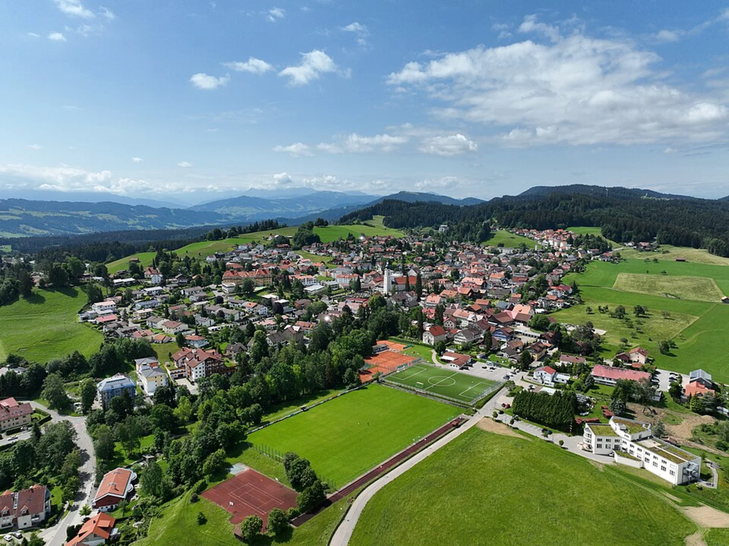
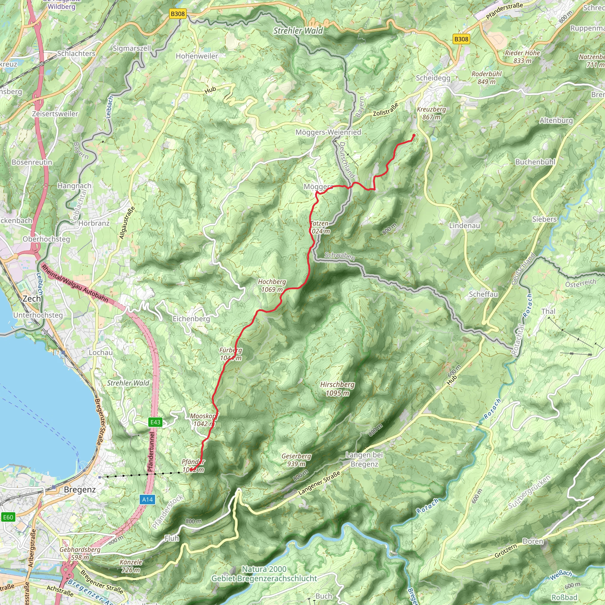
Starting near the picturesque town of Lindau, Germany, the Scheidegg to Pfander Walk via Furberg is a captivating point-to-point trail that stretches approximately 11 km (around 6.8 miles) with an elevation gain of about 400 meters (1,312 feet). This medium-difficulty hike offers a blend of natural beauty, historical landmarks, and panoramic views, making it a rewarding experience for outdoor enthusiasts.### Getting ThereTo reach the trailhead, you can either drive or use public transport. If driving, head towards Lindau, a charming town on the eastern shore of Lake Constance. Parking is available near the trailhead. For those using public transport, Lindau is well-connected by train, and from the Lindau Hauptbahnhof (main train station), you can take a local bus to the starting point of the trail.### Trail OverviewThe trail begins near Lindau and quickly immerses you in the serene beauty of the Bavarian countryside. As you start your ascent, you'll traverse through lush forests and open meadows, offering a mix of shaded and sunlit paths. The initial part of the trail is relatively gentle, allowing you to ease into the hike.### Key Landmarks and Points of Interest#### FurbergAround the 5 km (3.1 miles) mark, you'll reach Furberg, a notable waypoint on this trail. This area is known for its dense forest and tranquil atmosphere. It's a great spot to take a short break, hydrate, and enjoy the natural surroundings. Keep an eye out for local wildlife such as deer and various bird species that inhabit this region.#### Historical SignificanceAs you continue, you'll come across several historical markers and remnants of old structures that hint at the region's rich past. The area around Lindau has been inhabited since Roman times, and you may encounter ancient ruins and old farmhouses that tell the story of the region's agricultural heritage.### Ascending to PfanderThe latter part of the trail involves a more strenuous climb as you approach Pfander. The elevation gain becomes more noticeable here, with steeper sections that will challenge your endurance. However, the effort is well worth it as you near the summit.### Panoramic ViewsUpon reaching Pfander, you'll be rewarded with breathtaking panoramic views of Lake Constance and the surrounding Alps. This vantage point is one of the highlights of the hike, offering a perfect spot for photography and relaxation. On clear days, you can see as far as Switzerland and Austria, making it a truly memorable experience.### Navigation and SafetyFor navigation, it's highly recommended to use the HiiKER app, which provides detailed maps and real-time updates to ensure you stay on track. The trail is well-marked, but having a reliable navigation tool can enhance your hiking experience and provide peace of mind.### Flora and FaunaThroughout the hike, you'll encounter a diverse range of flora and fauna. The forests are home to various tree species, including oak, beech, and pine. In the meadows, you'll find wildflowers and herbs, adding a splash of color to the landscape. Wildlife sightings are common, so keep your camera ready for unexpected encounters.### Final StretchThe final stretch of the trail involves a descent into the town of Pfander. This section is less demanding and allows you to cool down as you make your way to the endpoint. Pfander itself is a quaint town with several amenities, including cafes and restaurants where you can relax and reflect on your hike.This trail offers a perfect blend of natural beauty, historical intrigue, and physical challenge, making it a must-do for hikers visiting the Lindau region.
What to expect?
Activity types
Comments and Reviews
User comments, reviews and discussions about the Scheidegg to Pfander Walk via Furberg, Germany.
5.0
average rating out of 5
1 rating(s)

