Download
Preview
Add to list
More
6.2 km
~1 hrs 27 min
133 m
Loop
“The Wanderwege Oberwets Eichenblatt trail offers a 6 km loop of natural beauty and historical landmarks.”
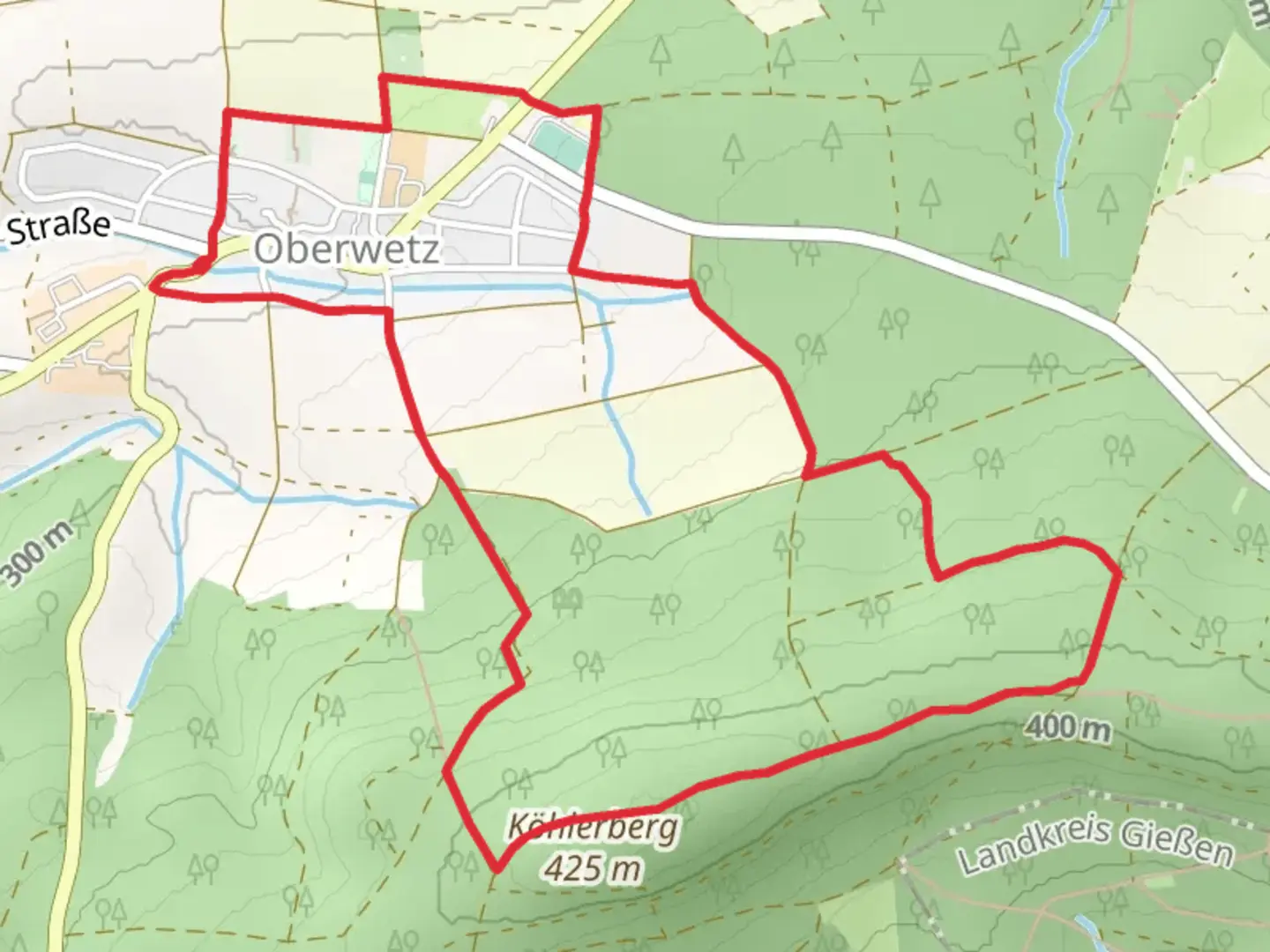
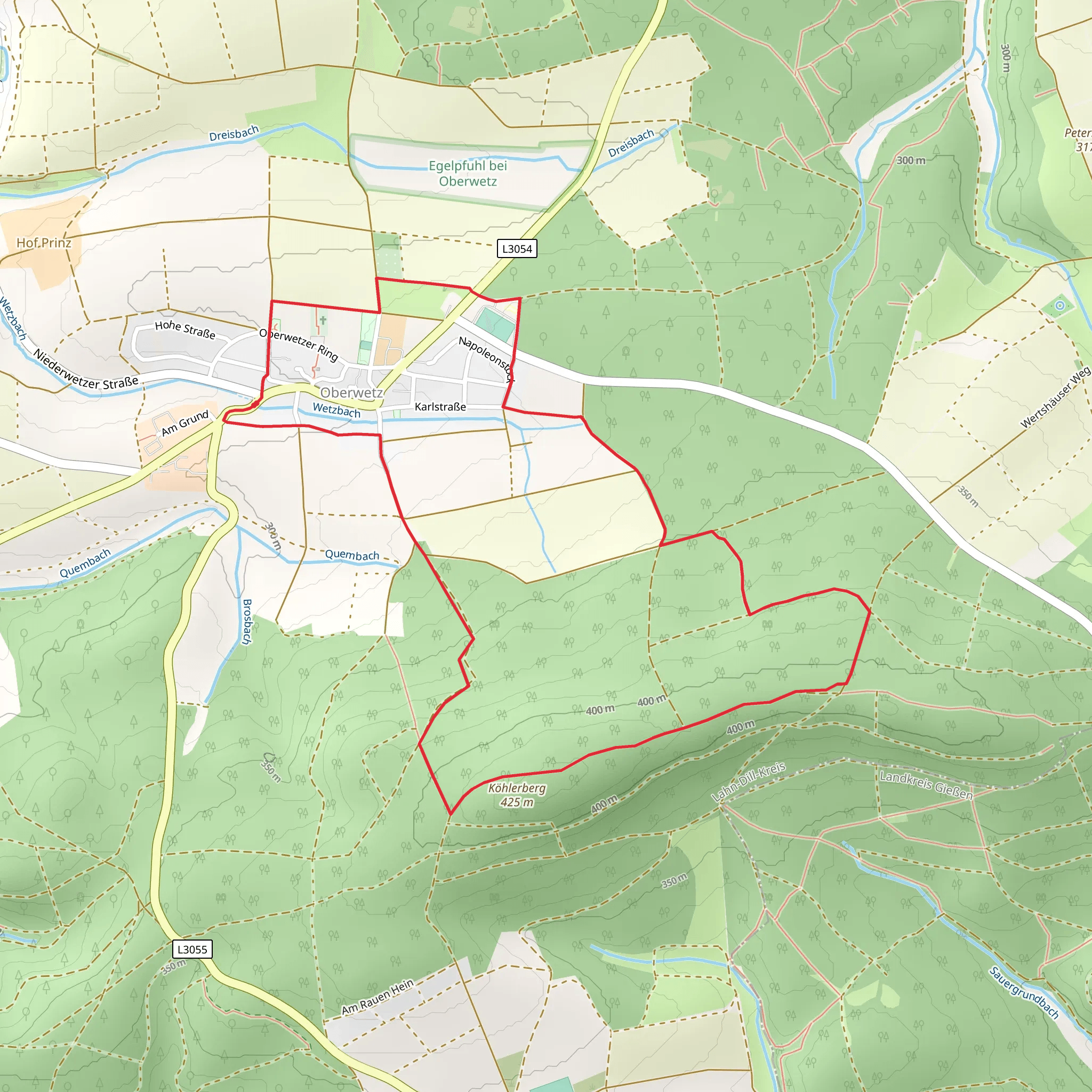
Starting near Lahn-Dill-Kreis, Germany, the Wanderwege Oberwets Eichenblatt trail is a delightful 6 km (approximately 3.7 miles) loop with an elevation gain of around 100 meters (328 feet). This medium-difficulty trail offers a mix of natural beauty, historical landmarks, and a touch of local wildlife, making it a rewarding experience for hikers of various skill levels.### Getting There To reach the trailhead, you can either drive or use public transport. If driving, set your GPS to the nearest known address: Lahn-Dill-Kreis, Germany. For those opting for public transport, take a train to Wetzlar Station, which is well-connected to major cities like Frankfurt. From Wetzlar, you can catch a local bus to the trailhead area.### Trail Overview The trail begins with a gentle ascent through a mixed forest, where you'll be greeted by a variety of deciduous trees, including oak and beech. The initial 1 km (0.6 miles) offers a gradual climb of about 30 meters (98 feet), making it a good warm-up for the rest of the hike.### Historical Significance Around the 2 km (1.2 miles) mark, you'll come across the remnants of an old Roman road. This ancient pathway once connected various settlements in the region and serves as a fascinating historical landmark. Take a moment to appreciate the craftsmanship that has withstood the test of time.### Nature and Wildlife As you continue, the trail meanders through a meadow, offering panoramic views of the surrounding hills. This section is particularly rich in wildflowers during the spring and summer months. Keep an eye out for local wildlife such as deer, foxes, and a variety of bird species. The meadow spans approximately 1.5 km (0.9 miles) and involves a slight descent of about 20 meters (65 feet).### Navigation Navigating the trail is straightforward, but it's always a good idea to have a reliable navigation tool. HiiKER is highly recommended for its detailed maps and real-time updates. The trail is well-marked with signs, but having HiiKER ensures you stay on the right path.### Significant Landmarks At around the 4 km (2.5 miles) point, you'll encounter a small, serene pond. This is an excellent spot for a short break and some bird-watching. The pond is surrounded by benches and informational plaques detailing the local flora and fauna.### Final Stretch The last 2 km (1.2 miles) of the trail take you through a dense forest area, gradually descending back to the trailhead. This section involves a descent of about 50 meters (164 feet) and is shaded, providing a cool and refreshing end to your hike.### Practical Tips - Wear sturdy hiking boots, as some sections can be uneven. - Bring water and snacks, especially if you plan to take breaks at the historical and natural landmarks. - Check the weather forecast before heading out, as the trail can get muddy after rain.This trail offers a balanced mix of natural beauty, historical intrigue, and moderate physical challenge, making it a must-visit for any hiking enthusiast.
What to expect?
Activity types
Comments and Reviews
User comments, reviews and discussions about the Wanderwege Oberwets Eichenblatt, Germany.
4.5
average rating out of 5
2 rating(s)
