Download
Preview
Add to list
More
10.1 km
~2 hrs 24 min
228 m
Loop
“The Burg Greifenstein Weg offers a scenic 10 km loop with historical landmarks and moderate hiking challenges.”
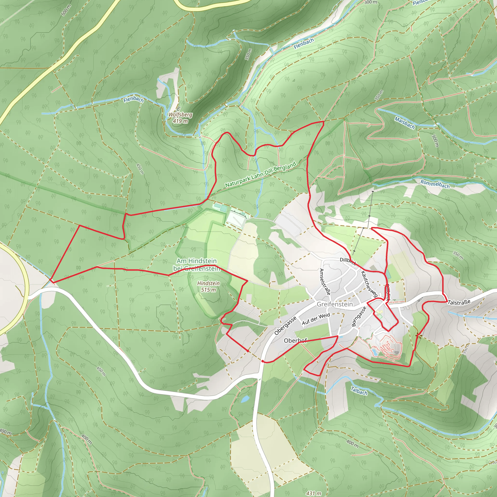
Starting near Lahn-Dill-Kreis, Germany, the Burg Greifenstein Weg is a captivating 10 km (6.2 miles) loop trail with an elevation gain of approximately 200 meters (656 feet). This medium-difficulty trail offers a blend of historical intrigue, natural beauty, and moderate physical challenge, making it a rewarding experience for hikers of various skill levels.
Getting There To reach the trailhead, you can drive or use public transport. If driving, set your GPS to the vicinity of Greifenstein Castle, a well-known landmark in the area. For those using public transport, take a train to Wetzlar or Herborn, and from there, a local bus to Greifenstein. The nearest bus stop is Greifenstein, Burg, which is a short walk from the trailhead.
Trail Highlights
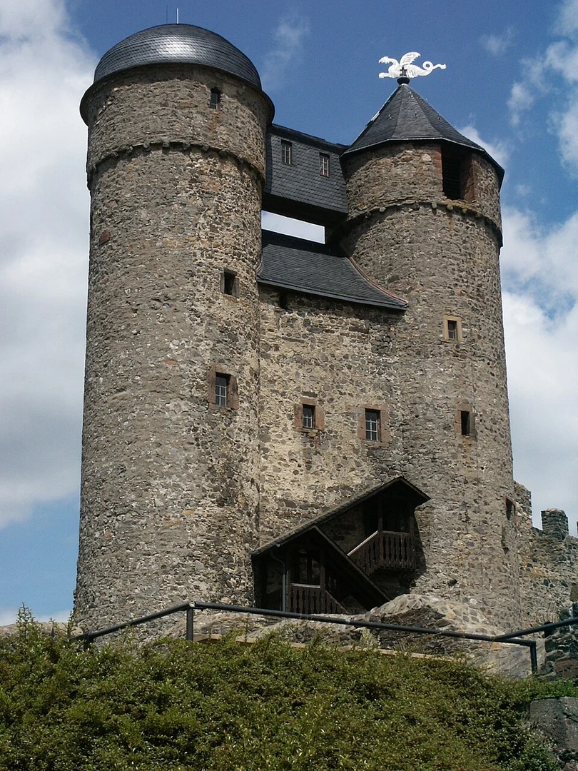
#### Greifenstein Castle One of the most significant landmarks on this trail is Greifenstein Castle, a medieval fortress dating back to the 12th century. The castle offers panoramic views of the surrounding Lahn-Dill-Kreis region and is a perfect spot for a break. The castle's museum provides insights into the area's history, including its role in regional defense and local folklore.
#### Forested Paths and Open Meadows The trail meanders through dense forests and open meadows, offering a diverse range of scenery. The forested sections are particularly enchanting, with tall trees providing ample shade and a sense of tranquility. In spring and summer, the meadows burst into a riot of wildflowers, attracting various species of butterflies and bees.
#### Wildlife and Flora Keep an eye out for local wildlife, including deer, foxes, and a variety of bird species. The area is also rich in flora, with oak, beech, and pine trees dominating the landscape. In the underbrush, you might spot wild berries and mushrooms, though it's advisable not to pick them unless you're certain they're safe.
Navigation and Terrain The trail is well-marked, but it's always a good idea to have a reliable navigation tool. HiiKER is an excellent app for this purpose, providing detailed maps and real-time location tracking. The terrain is varied, with some steep sections that can be slippery after rain, so sturdy hiking boots are recommended.
#### Elevation and Distance Markers The trail's elevation gain is gradual, making it accessible for most hikers. The first significant ascent occurs around the 2 km (1.2 miles) mark, leading up to Greifenstein Castle. After exploring the castle, the trail descends into a valley before another moderate climb around the 6 km (3.7 miles) point. The final stretch is relatively flat, allowing for a leisurely finish.
Practical Information - **Best Time to Hike:** Spring and autumn offer the most pleasant weather, with mild temperatures and vibrant foliage. Summer can be warm but manageable, while winter may bring snow and ice, making the trail more challenging. - **Facilities:** There are limited facilities along the trail, so carry enough water and snacks. The village of Greifenstein has a few cafes and restaurants where you can enjoy a meal before or after your hike. - **Safety Tips:** Mobile reception can be patchy in some forested areas, so inform someone of your plans before setting out. Always check the weather forecast and dress in layers to accommodate changing conditions.
This trail offers a perfect blend of natural beauty, historical landmarks, and moderate physical challenge, making it an ideal choice for a day hike in the Lahn-Dill-Kreis region.
Comments and Reviews
User comments, reviews and discussions about the Burg Greifenstein Weg, Germany.
5.0
average rating out of 5
2 rating(s)

