Download
Preview
Add to list
More
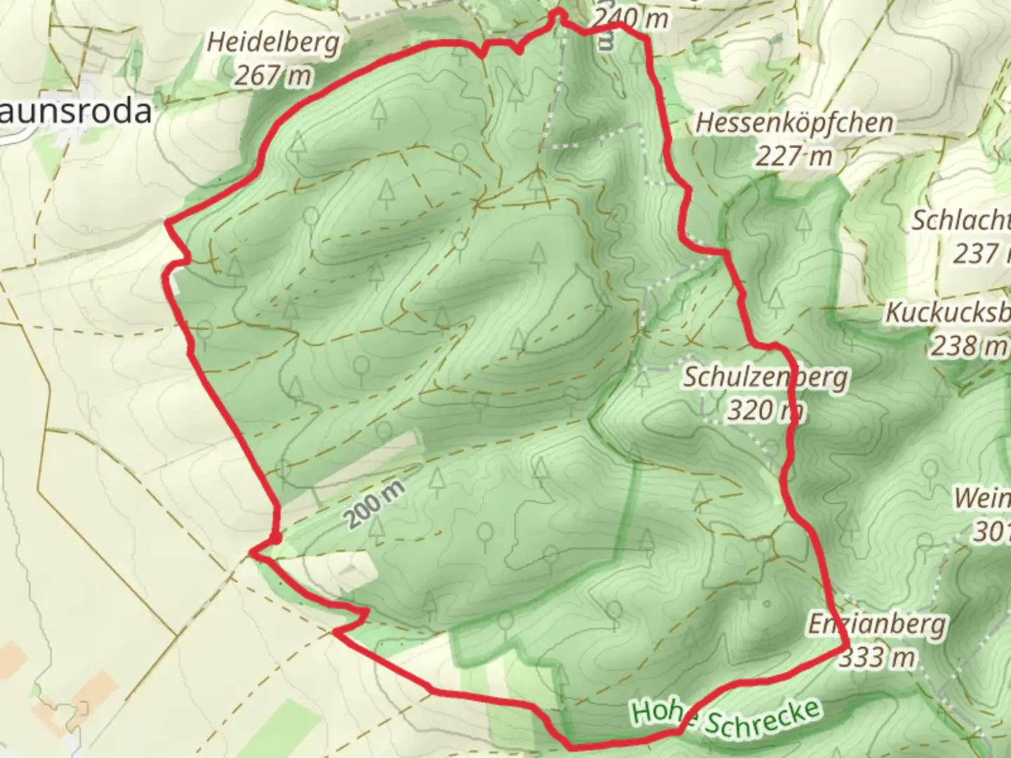
11.8 km
~2 hrs 50 min
283 m
Loop
“Embark on the Kleiner Schrecke Rundweg for 12 km of natural beauty and historical intrigue near Kyffhäuserkreis.”
Starting your adventure near Kyffhäuserkreis, Germany, the Kleiner Schrecke Rundweg is a 12 km (7.5 miles) loop trail with an elevation gain of approximately 200 meters (656 feet). This medium-difficulty trail offers a blend of natural beauty and historical intrigue, making it a rewarding experience for hikers.
Getting There
To reach the trailhead, you can either drive or use public transport. If driving, set your GPS to the nearest significant landmark, which is the town of Bad Frankenhausen. From there, follow local signage to the trailhead. For those using public transport, take a train to Bad Frankenhausen and then a local bus or taxi to the trailhead.
Trail Navigation
For navigation, it is highly recommended to use the HiiKER app, which provides detailed maps and real-time updates to ensure you stay on the right path.
Trail Highlights
Natural Beauty
The Kleiner Schrecke Rundweg takes you through a diverse landscape of dense forests, open meadows, and rolling hills. The trail is particularly stunning in the spring and autumn when the foliage is at its most vibrant. Keep an eye out for local wildlife, including deer, foxes, and a variety of bird species. The forested sections are home to ancient oak and beech trees, some of which are centuries old.
Historical Significance
The region around Kyffhäuserkreis is steeped in history. As you hike, you'll come across remnants of medieval structures and old farmhouses that tell the story of the area's past. One notable landmark is the Kyffhäuser Monument, located a short detour from the main trail. This monument commemorates Emperor Frederick Barbarossa and is a significant historical site in the region.
Key Sections of the Trail
Initial Ascent
Starting from the trailhead, the first 2 km (1.2 miles) involve a gentle ascent through a mixed forest. The elevation gain here is around 50 meters (164 feet), making it a good warm-up for the rest of the hike.
Midway Point
Around the 6 km (3.7 miles) mark, you'll reach the highest point of the trail, offering panoramic views of the surrounding countryside. This is a great spot to take a break and enjoy a packed lunch. The elevation gain to this point is approximately 150 meters (492 feet).
Descent and Return
The final 4 km (2.5 miles) involve a gradual descent back to the trailhead. This section takes you through open meadows and past small streams, providing a peaceful end to your hike. The remaining elevation gain is around 50 meters (164 feet), making it a relatively easy finish.
Practical Tips
- Footwear: Sturdy hiking boots are recommended due to uneven terrain and potential muddy sections.
- Weather: Check the weather forecast before you go, as conditions can change rapidly.
- Supplies: Bring enough water and snacks, as there are no facilities along the trail.
- Wildlife: Be respectful of the local wildlife and maintain a safe distance.
By following these guidelines and using the HiiKER app for navigation, you'll be well-prepared to enjoy the Kleiner Schrecke Rundweg and all it has to offer.

Comments and Reviews
User comments, reviews and discussions about the Kleiner Schrecke Rundweg, Germany.
4.5
average rating out of 5
4 rating(s)