Download
Preview
Add to list
More
10.5 km
~2 hrs 32 min
275 m
Loop
“The Teutoschleife Doerenther Klippen Loop offers 10 km of scenic, moderately challenging hiking through forests and cliffs.”
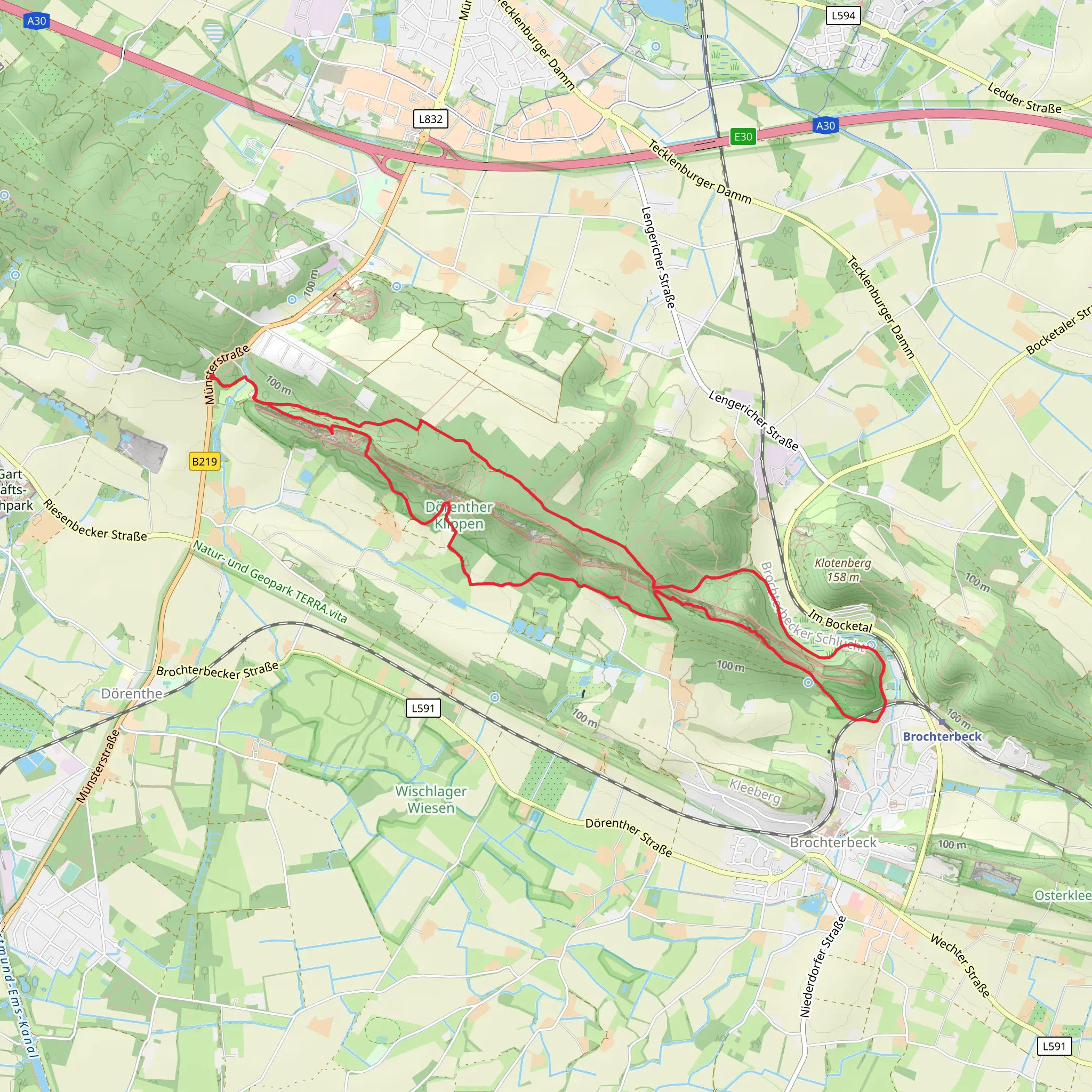
Starting near Kreis Steinfurt, Germany, the Teutoschleife Doerenther Klippen Loop is a captivating 10 km (6.2 miles) loop trail with an elevation gain of approximately 200 meters (656 feet). This trail is rated as medium difficulty, making it suitable for moderately experienced hikers.
Getting There To reach the trailhead, you can drive or use public transport. If driving, set your GPS to the nearest known address: "Am Klippenweg, 49479 Ibbenbüren, Germany." For those using public transport, take a train to Ibbenbüren station. From there, you can catch a local bus or taxi to the trailhead.
Trail Overview The trail begins with a gentle ascent through lush forests, offering a serene start to your hike. As you progress, the path becomes more rugged, with rocky outcrops and uneven terrain. This initial section is a good warm-up, preparing you for the more challenging parts ahead.
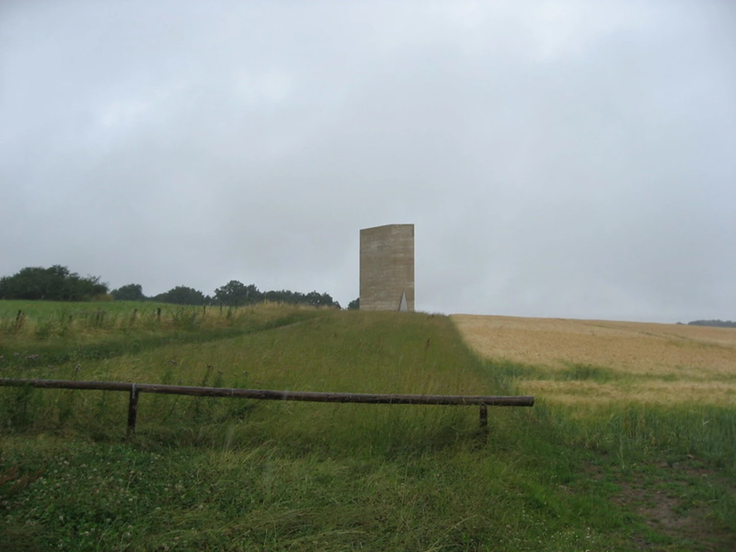
Significant Landmarks #### Doerenther Klippen Around the 3 km (1.9 miles) mark, you'll encounter the Doerenther Klippen, a series of striking sandstone cliffs. These cliffs are a geological marvel, formed over millions of years. The most famous formation here is the "Hockendes Weib" (Crouching Woman), a rock that resembles a woman in a crouched position. This spot offers excellent photo opportunities and a chance to rest and take in the views.
#### Hermannsweg Intersection At approximately 5 km (3.1 miles), the trail intersects with the Hermannsweg, one of Germany's most famous long-distance hiking trails. This is a great place to pause and appreciate the historical significance of the region. The Hermannsweg commemorates the Battle of the Teutoburg Forest, where Germanic tribes ambushed and defeated Roman legions in 9 AD.
Flora and Fauna The trail is rich in biodiversity. You'll pass through dense beech and oak forests, home to various bird species like woodpeckers and owls. Keep an eye out for deer and wild boar, which are commonly spotted in this area. In spring and summer, the forest floor is carpeted with wildflowers, adding a splash of color to your hike.
Navigation and Safety Given the trail's moderate difficulty, it's advisable to use a reliable navigation tool like HiiKER to stay on track. The path is well-marked, but having a digital map can be reassuring, especially in the more remote sections. Wear sturdy hiking boots, as the rocky terrain can be slippery, particularly after rain.
Final Stretch The last 2 km (1.2 miles) of the trail take you through open meadows and farmland, offering a different but equally beautiful landscape. The descent is gradual, allowing you to cool down as you make your way back to the trailhead.
This loop trail offers a perfect blend of natural beauty, geological wonders, and historical significance, making it a must-visit for any hiking enthusiast.
What to expect?
Activity types
Comments and Reviews
User comments, reviews and discussions about the Teutoschleife Doerenther Klippen Loop, Germany.
4.67
average rating out of 5
9 rating(s)

