Download
Preview
Add to list
More
6.9 km
~1 hrs 38 min
158 m
Loop
“Explore the enchanting Netphener Rundweg and Rothaarweg Loop, a 7 km trail through lush forests and historical landmarks.”
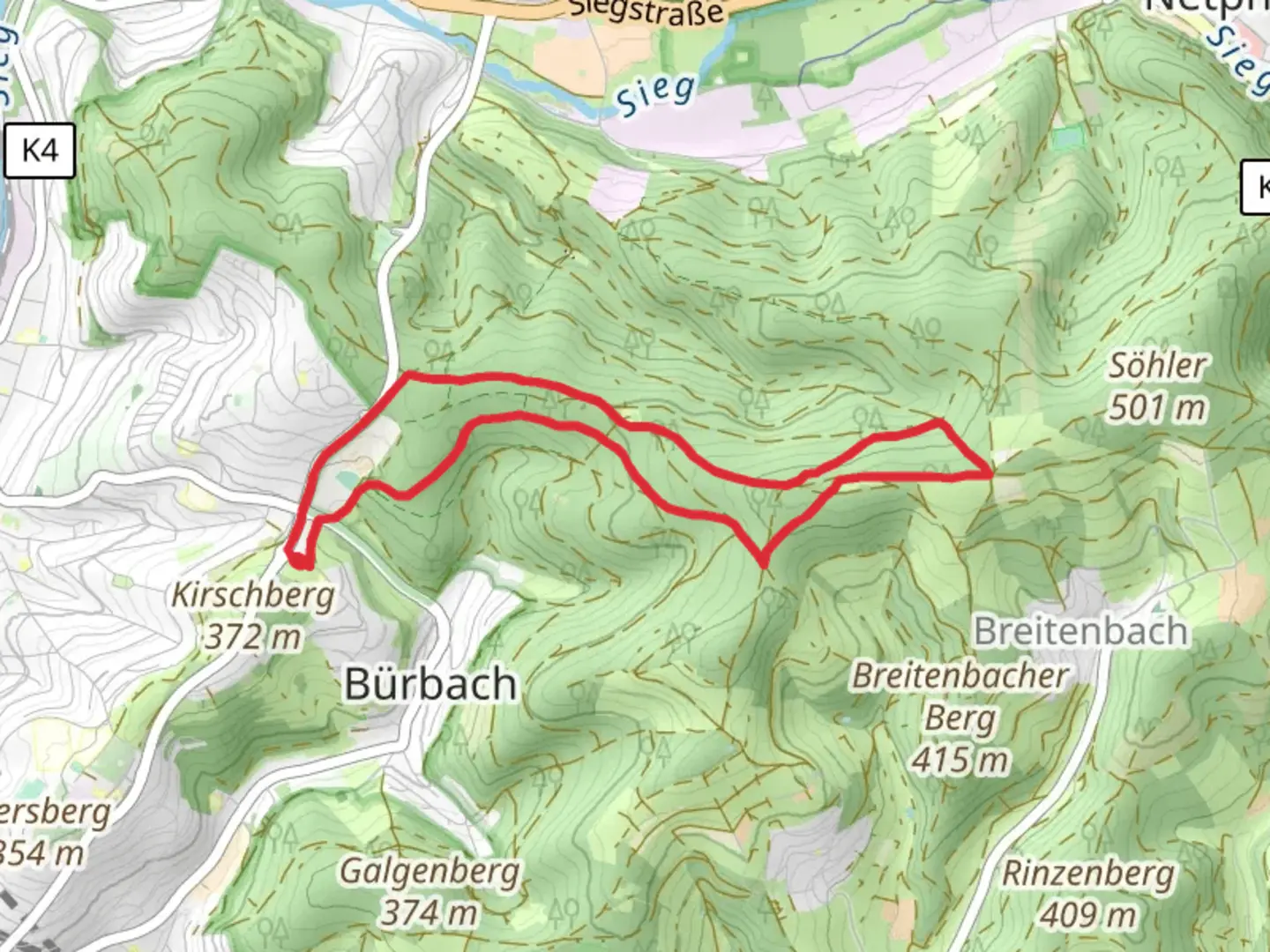
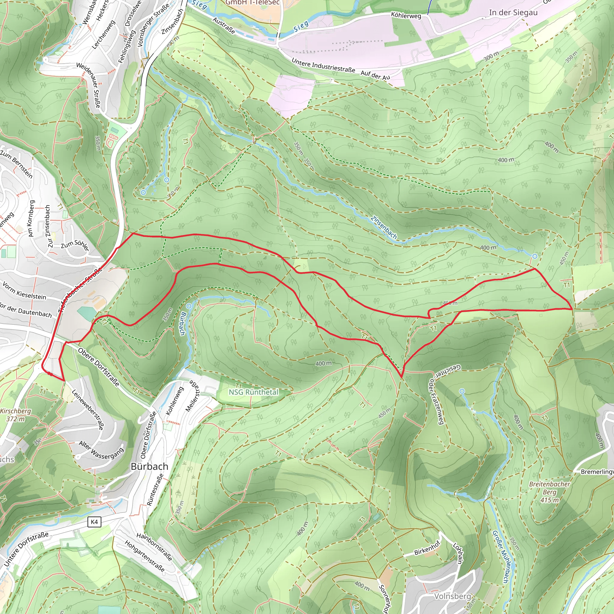
Starting near Kreis Siegen-Wittgenstein in Germany, the Netphener Rundweg and Rothaarweg Loop is a delightful 7 km (4.35 miles) trail with an elevation gain of approximately 100 meters (328 feet). This loop trail is rated as medium difficulty, making it suitable for hikers with some experience.### Getting There To reach the trailhead, you can drive or use public transport. If driving, set your GPS to the nearest known address: Netphen, Kreis Siegen-Wittgenstein, Germany. For those using public transport, the nearest major town is Siegen. From Siegen, you can take a local bus to Netphen, which is well-connected and offers frequent services.### Trail Overview The trail begins in a picturesque setting near Netphen, a town known for its charming half-timbered houses and serene landscapes. As you start your hike, you'll be greeted by lush forests and rolling hills, characteristic of the Rothaargebirge mountain range.### Key Landmarks and Points of Interest - Netphen Town: At the beginning of your hike, take a moment to explore Netphen. The town has a rich history dating back to the Middle Ages, and its architecture reflects this heritage. - Rothaargebirge Forests: As you ascend, you'll enter the dense forests of the Rothaargebirge. These forests are home to a variety of wildlife, including deer, foxes, and numerous bird species. Keep an eye out for the European wildcat, a rare sight but native to this region. - Historical Significance: The Rothaargebirge area has historical significance, particularly during the medieval period. The trail passes near old trade routes that were once vital for commerce in the region. You might also come across remnants of ancient boundary stones that marked territorial limits.### Navigation and Trail Conditions The trail is well-marked, but it's always a good idea to have a reliable navigation tool. HiiKER is an excellent app for this purpose, providing detailed maps and real-time updates. The path can be muddy after rain, so waterproof hiking boots are recommended.### Flora and Fauna The trail offers a rich tapestry of flora and fauna. In spring and summer, the forest floor is carpeted with wildflowers, including bluebells and wood anemones. The mixed deciduous and coniferous trees provide a habitat for a variety of wildlife. Birdwatchers will enjoy spotting species like the black woodpecker and the Eurasian jay.### Elevation and Terrain The elevation gain is moderate, with a total ascent of about 100 meters (328 feet). The trail features a mix of gentle slopes and steeper sections, providing a good workout without being overly strenuous. The highest point offers panoramic views of the surrounding countryside, making the climb worthwhile.### Practical Tips - Weather: The weather can be unpredictable, so pack layers and a waterproof jacket. - Supplies: There are no facilities along the trail, so bring enough water and snacks for the hike. - Safety: Mobile reception can be spotty in the forested areas, so inform someone of your plans before you set out.This trail offers a perfect blend of natural beauty, historical intrigue, and moderate physical challenge, making it a rewarding experience for any hiker.
What to expect?
Activity types
Comments and Reviews
User comments, reviews and discussions about the Netphener Rundweg and Rothaarweg Loop, Germany.
4.0
average rating out of 5
2 rating(s)
