Download
Preview
Add to list
More
14.1 km
~3 hrs 17 min
285 m
Point-to-Point
“Embark on a 14 km journey through Germany's Kreis Siegen-Wittgenstein, blending natural splendor and historical intrigue.”
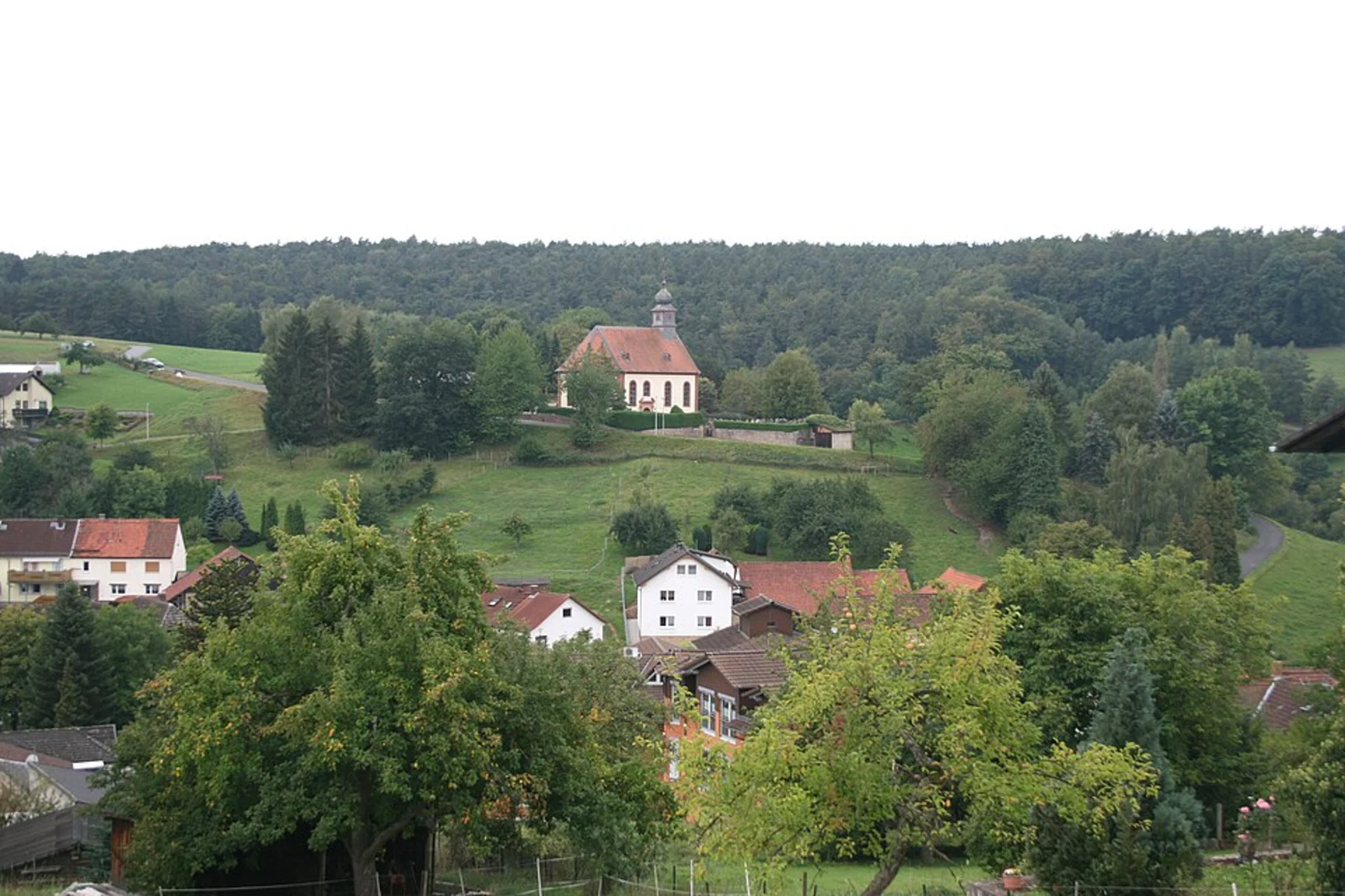
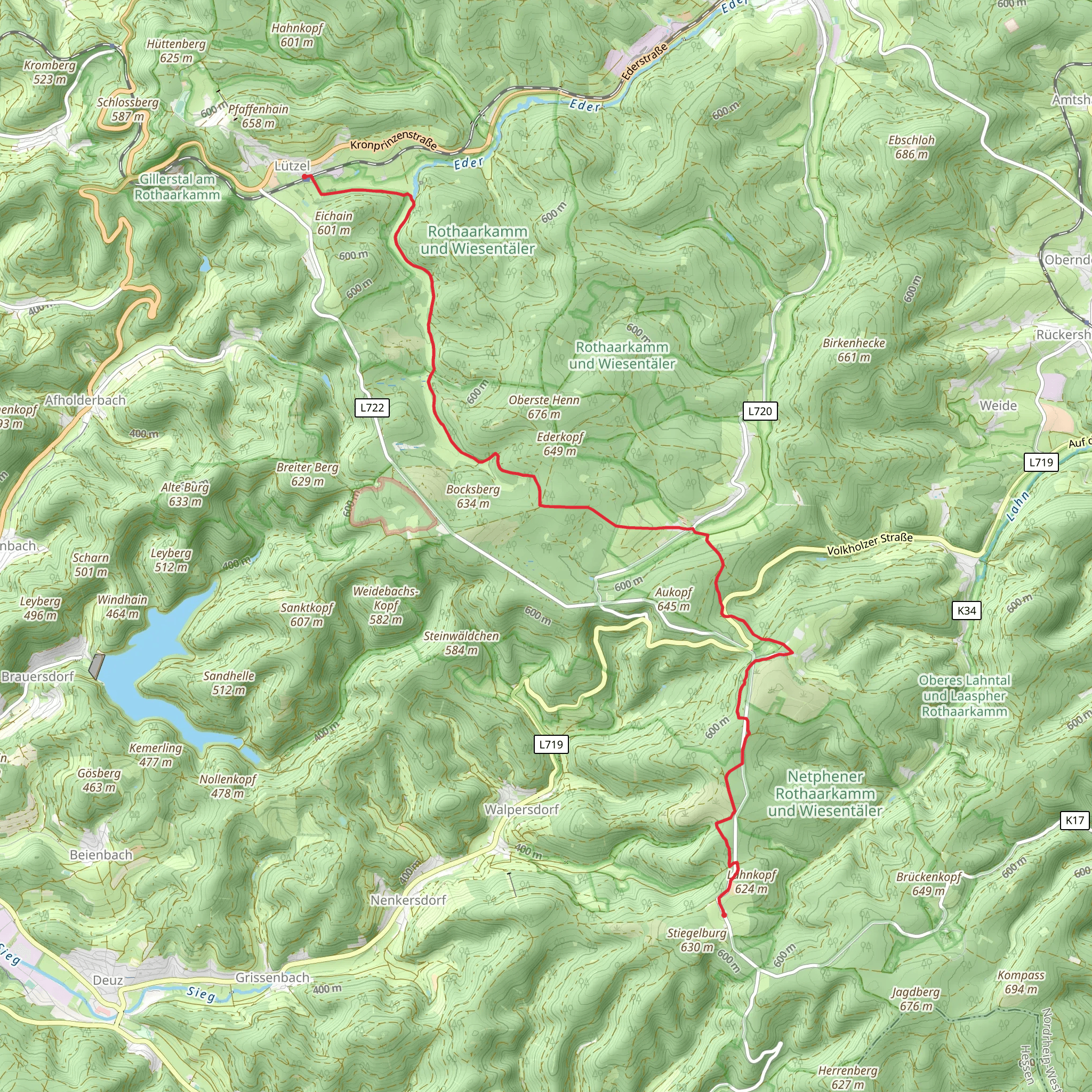
Starting near Kreis Siegen-Wittgenstein in Germany, this 14 km (approximately 8.7 miles) point-to-point trail offers a delightful mix of natural beauty and historical significance. The trail begins with a gentle ascent, gaining around 200 meters (656 feet) in elevation, making it a moderately challenging hike suitable for those with a reasonable level of fitness.### Getting There To reach the trailhead, you can either drive or use public transport. If driving, set your GPS to Kreis Siegen-Wittgenstein, Germany. For those using public transport, the nearest major town is Siegen, which is well-connected by train. From Siegen, you can take a local bus to the starting point near Kreis Siegen-Wittgenstein.### Trail Navigation For navigation, it's highly recommended to use HiiKER, which provides detailed maps and real-time updates to ensure you stay on track.### Key Landmarks and Sections#### Initial Ascent The trail starts with a gradual climb through dense forests, offering a serene environment filled with the sounds of chirping birds and rustling leaves. This section is relatively easy, making it a good warm-up for the more challenging parts ahead.#### Rothaarsteig Intersection Around the 5 km (3.1 miles) mark, you'll intersect with the famous Rothaarsteig trail. This is a significant point as the Rothaarsteig is known for its well-maintained paths and stunning viewpoints. Here, you can take a short detour to enjoy panoramic views of the surrounding valleys and hills.#### Historical Significance As you continue, you'll come across several historical markers and plaques. This region has a rich history dating back to medieval times, and you'll find remnants of old fortifications and ancient trade routes. Take a moment to read the information provided at these markers to gain a deeper understanding of the area's past.#### Wildlife and Flora The trail is home to a variety of wildlife, including deer, foxes, and a plethora of bird species. The flora is equally diverse, with towering beech and oak trees dominating the landscape. During spring and summer, the forest floor is carpeted with wildflowers, adding a splash of color to your hike.#### Lahnquellteich The final section of the trail leads you to Lahnquellteich, a picturesque pond that serves as the source of the Lahn River. This is a perfect spot to rest and take in the tranquil surroundings. The area around the pond is well-maintained, with benches and informational signs detailing the ecological importance of the site.### Final Stretch The last few kilometers are relatively flat, making for an easy and enjoyable end to your hike. You'll pass through open meadows and small patches of woodland before reaching the endpoint.### Practical Tips - Wear sturdy hiking boots as some sections can be rocky and uneven. - Carry enough water and snacks, especially if you plan to take detours or extended breaks. - Check the weather forecast before you go, as conditions can change rapidly in this region. - Use HiiKER for real-time navigation and updates on trail conditions.This trail offers a perfect blend of natural beauty, historical intrigue, and moderate physical challenge, making it a rewarding experience for any hiker.
What to expect?
Activity types
Comments and Reviews
User comments, reviews and discussions about the Lützel to Lahnquellteich Walk via Rothaarsteig, Germany.
4.67
average rating out of 5
3 rating(s)

