Download
Preview
Add to list
More
12.2 km
~3 hrs 9 min
441 m
Loop
“Explore the scenic 12 km Girkhausen Rundweg for natural beauty, historical landmarks, and wildlife spotting.”
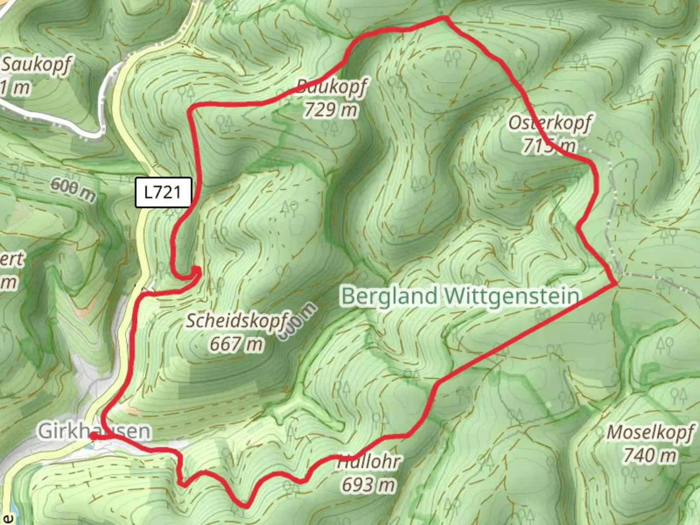
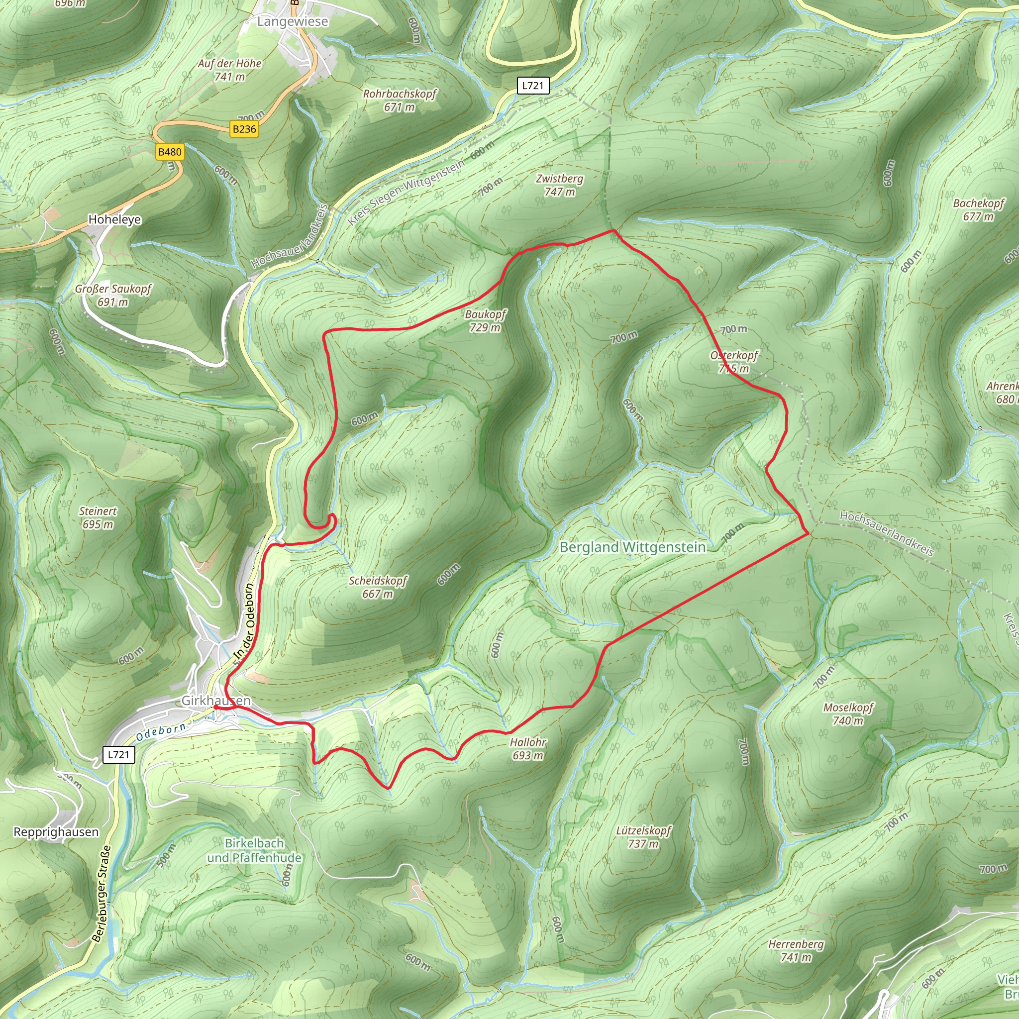
Starting near Kreis Siegen-Wittgenstein, Germany, the Girkhausen Rundweg is a picturesque loop trail that spans approximately 12 km (7.5 miles) with an elevation gain of around 400 meters (1,312 feet). This medium-difficulty trail offers a delightful mix of natural beauty, historical landmarks, and opportunities for wildlife spotting.
Getting There To reach the trailhead, you can drive or use public transport. If driving, set your GPS to Girkhausen, a charming village in the Wittgenstein region. There is ample parking available near the village center. For those using public transport, take a train to Bad Berleburg and then a bus to Girkhausen. The bus stop is conveniently located near the trailhead.
Trail Overview The Girkhausen Rundweg begins in the heart of Girkhausen, a village known for its traditional half-timbered houses. As you start your hike, you'll immediately notice the serene rural landscape, characterized by rolling hills and dense forests.
Key Landmarks and Sections
#### Girkhausen Village At the start, take a moment to explore Girkhausen. The village has a rich history dating back to the Middle Ages, and its architecture reflects this heritage. The local church, built in the 13th century, is a notable landmark worth visiting.
#### Ascending Through the Forest The first 3 km (1.9 miles) of the trail involve a gradual ascent through a mixed forest of beech and spruce trees. This section gains about 150 meters (492 feet) in elevation. Keep an eye out for local wildlife such as deer and various bird species. The forest floor is often carpeted with wildflowers in the spring and summer months.
#### Panoramic Views Around the 5 km (3.1 miles) mark, the trail opens up to a series of meadows, offering panoramic views of the surrounding Wittgenstein hills. This is an excellent spot for a break and some photography. The elevation gain here is more moderate, adding another 100 meters (328 feet) to your climb.
#### Historical Sites As you continue, you'll come across remnants of historical significance. Near the 7 km (4.3 miles) point, you'll find an old charcoal kiln site, a testament to the region's historical reliance on charcoal production. Informational plaques provide context and history, making this a fascinating stop.
#### Descending Back to Girkhausen The final 5 km (3.1 miles) of the trail involve a descent back towards Girkhausen. This section is less steep but requires careful footing, especially if the ground is wet. The descent offers more opportunities to spot wildlife and enjoy the tranquil forest environment.
Navigation and Safety For navigation, it's highly recommended to use the HiiKER app, which provides detailed maps and real-time GPS tracking. The trail is well-marked, but having a reliable navigation tool ensures you stay on course.
Flora and Fauna The Girkhausen Rundweg is a haven for nature enthusiasts. Depending on the season, you might encounter a variety of flora, including wildflowers, ferns, and mushrooms. The diverse habitat supports a range of wildlife, from small mammals like squirrels to larger animals such as deer and foxes.
Final Stretch As you approach the end of the loop, you'll re-enter Girkhausen, where you can relax and perhaps enjoy a meal at one of the local eateries. The village offers a warm and welcoming atmosphere, perfect for concluding your hike.
This trail provides a balanced mix of natural beauty, historical intrigue, and moderate physical challenge, making it an ideal choice for hikers looking to explore the scenic Wittgenstein region.
Comments and Reviews
User comments, reviews and discussions about the Girkhausen Rundweg, Germany.
4.0
average rating out of 5
1 rating(s)
