Download
Preview
Add to list
More
6.7 km
~1 hrs 39 min
192 m
Loop
“The Breitenbachtalsperre Loop offers a scenic, moderately challenging 7 km hike through forests, meadows, and historical sites.”
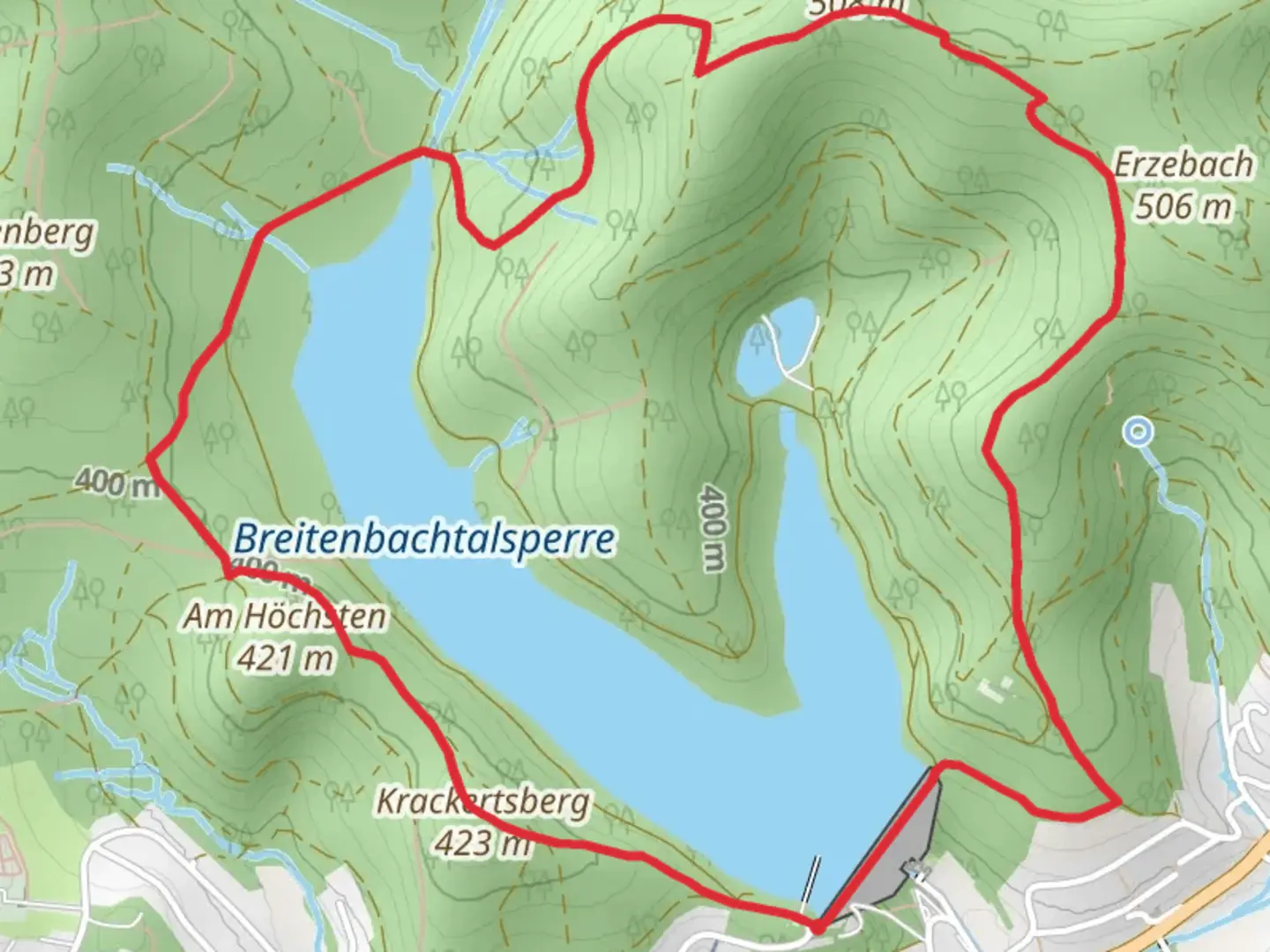
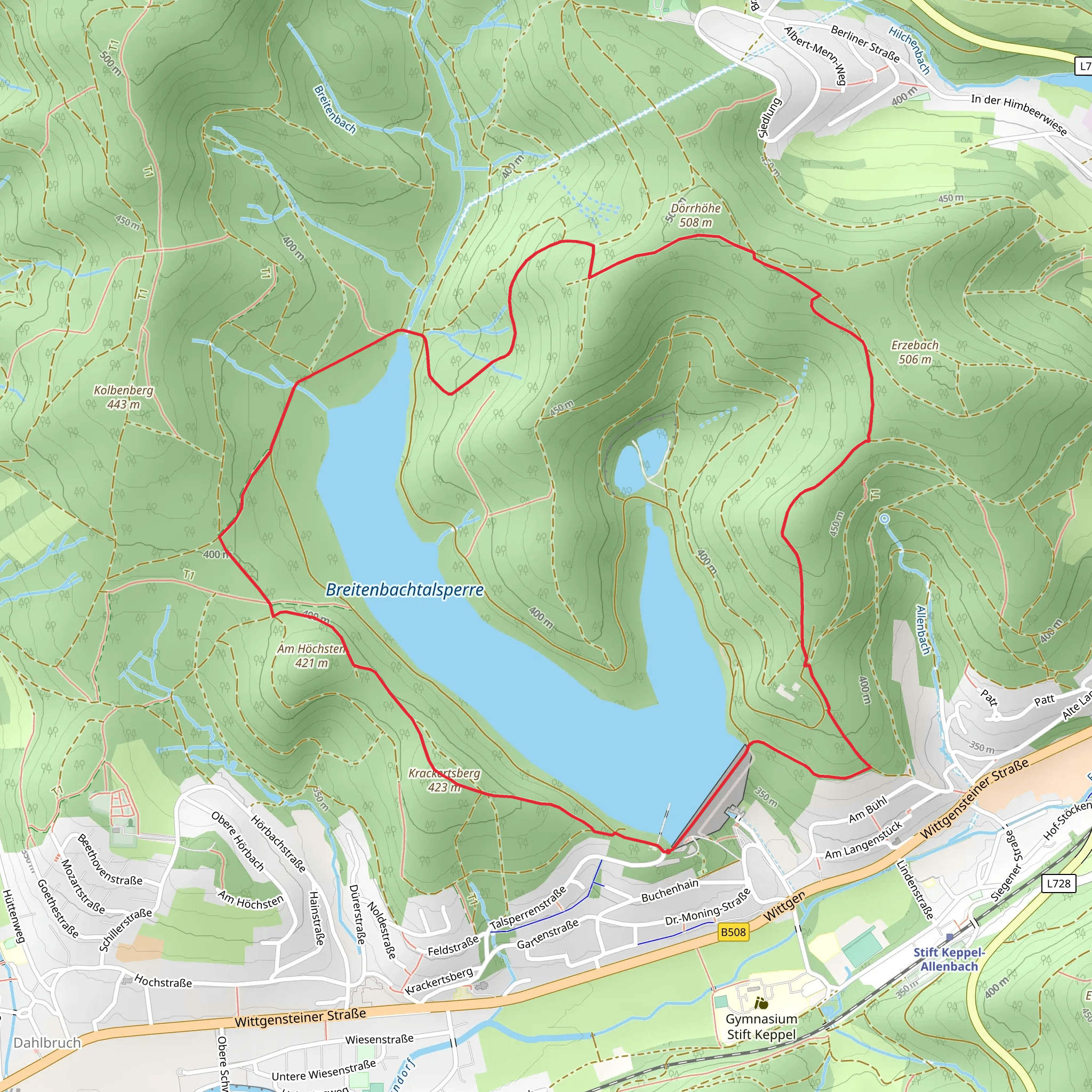
Starting near Kreis Siegen-Wittgenstein, Germany, the Breitenbachtalsperre Loop via Kalorienpfad is a captivating 7 km (4.35 miles) loop trail with an elevation gain of approximately 100 meters (328 feet). This medium-difficulty trail offers a blend of natural beauty, historical significance, and a moderate challenge suitable for most hikers.
Getting There To reach the trailhead, you can drive or use public transport. If driving, set your GPS to the nearest known address: Breitenbachtalsperre, 57223 Kreuztal, Germany. For those using public transport, take a train to Siegen Hauptbahnhof and then a bus to the Breitenbachtalsperre area. The trailhead is conveniently located near the reservoir, making it easily accessible.
Trail Overview The loop begins near the Breitenbachtalsperre reservoir, a significant landmark in the region. The reservoir itself is a serene body of water, perfect for a moment of reflection before you start your hike. As you set off, you'll be greeted by a well-marked path that winds through lush forests and open meadows.
Key Sections and Landmarks - **Kalorienpfad**: Early in the hike, you'll encounter the Kalorienpfad, a unique section of the trail designed to encourage physical activity. This part of the trail features various exercise stations where you can engage in different workouts, adding an interactive element to your hike. - **Forested Areas**: As you continue, the trail meanders through dense forests, offering shade and a cool respite during warmer months. Keep an eye out for local wildlife such as deer, foxes, and a variety of bird species. The forest floor is often carpeted with wildflowers in the spring, adding a splash of color to your journey. - **Open Meadows**: Approximately halfway through the loop, the trail opens up into expansive meadows. These areas provide stunning panoramic views of the surrounding hills and valleys. It's an excellent spot for a picnic or a short rest. - **Historical Significance**: The region around Kreis Siegen-Wittgenstein has a rich history dating back to medieval times. While the trail itself is primarily a natural experience, the nearby town of Siegen is known for its historical architecture and the Siegerlandmuseum, which offers insights into the area's past.
Navigation and Safety To ensure you stay on track, it's advisable to use the HiiKER app for navigation. The trail is well-marked, but having a reliable navigation tool can provide peace of mind, especially in the more densely forested sections.
Final Stretch As you near the end of the loop, you'll return to the vicinity of the Breitenbachtalsperre reservoir. The final stretch offers a gentle descent, making for a relaxing end to your hike. The reservoir area is also a great place to unwind, with benches and picnic spots available.
This 7 km loop offers a balanced mix of physical activity, natural beauty, and a touch of historical context, making it a rewarding experience for hikers of all levels.
Comments and Reviews
User comments, reviews and discussions about the Breitenbachtalsperre Loop via Kalorienpfad, Germany.
average rating out of 5
0 rating(s)
