Download
Preview
Add to list
More
13.8 km
~2 hrs 47 min
24 m
Loop
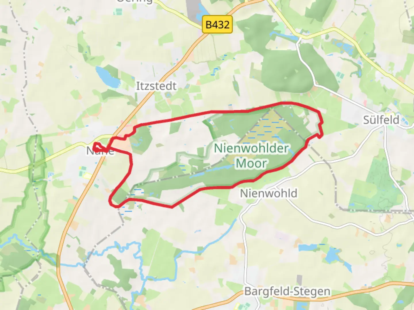
“Explore diverse landscapes and historical sites on this accessible yet challenging 14 km loop near Kreis Segeberg.”
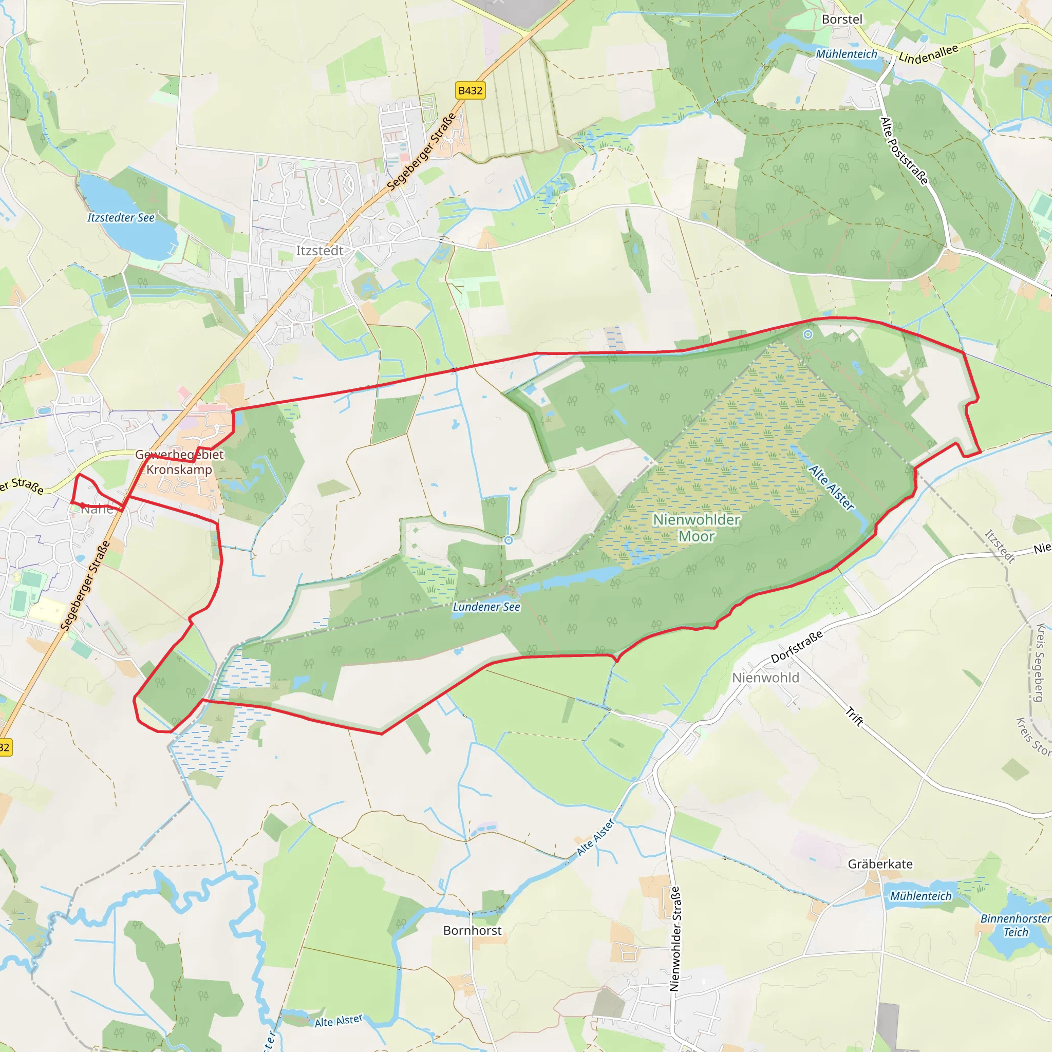
Starting near Kreis Segeberg in Germany, this 14 km (approximately 8.7 miles) loop trail offers a delightful mix of natural beauty and historical intrigue. With an elevation gain of around 0 meters, it is relatively flat, making it accessible for hikers of varying skill levels, though it is rated as medium difficulty due to its length and terrain.
Getting There To reach the trailhead, you can drive to Kreis Segeberg, where parking is available near the starting point. If you prefer public transport, the nearest significant landmark is the Bad Segeberg train station. From there, local buses or a short taxi ride can take you to the trailhead.
Trail Overview The trail begins in a picturesque setting near Kreis Segeberg, winding through a variety of landscapes including dense forests, open meadows, and the unique Nienwohlder Moor. The first few kilometers take you through lush woodlands, where you can enjoy the serene atmosphere and the sound of birdsong. Keep an eye out for local wildlife such as deer and various bird species.
Significant Landmarks and Nature Around the 5 km (3.1 miles) mark, you will encounter the Nienwohlder Moor, a significant natural landmark. This moorland is a protected area, known for its unique ecosystem and rare plant species. The trail here is well-marked, but the terrain can be a bit boggy, so waterproof footwear is recommended.
As you continue, the trail loops back through more forested areas and open fields. The diversity of the landscape provides ample opportunities for photography and nature observation.
Historical Significance The region around Kreis Segeberg has a rich history dating back to medieval times. While the trail itself is primarily focused on natural beauty, the nearby town of Bad Segeberg is known for its historical sites, including the Segeberg Castle ruins and the Kalkberg limestone hill, which has been a site of human activity since prehistoric times.
Navigation and Safety For navigation, it is advisable to use the HiiKER app, which provides detailed maps and real-time updates. The trail is well-marked, but having a reliable navigation tool ensures you stay on track, especially in the more remote sections of the moor.
Final Stretch The last few kilometers bring you back towards the starting point, passing through more scenic woodlands and meadows. The flat terrain makes for a pleasant end to the hike, allowing you to fully appreciate the natural beauty of the area.
This trail offers a wonderful mix of natural landscapes and a touch of historical context, making it a rewarding experience for any hiker.
Comments and Reviews
User comments, reviews and discussions about the Von Nahe zum Nienwohlder Moor, Germany.
4.75
average rating out of 5
4 rating(s)
