Download
Preview
Add to list
More
6.3 km
~1 hrs 41 min
265 m
Loop
“Embark on the Köterberg via Uslarer Weg trail for a scenic, historical, and moderately challenging 6 km hike.”
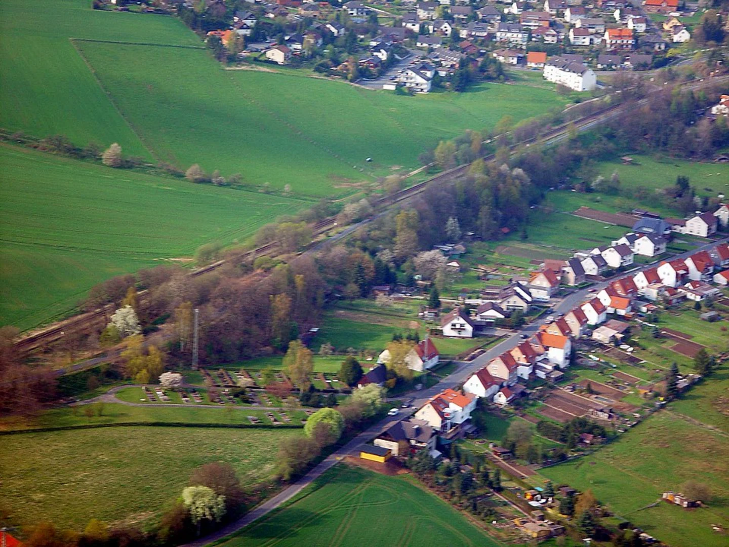
Starting near Kreis Höxter, Germany, the Köterberg via Uslarer Weg trail is a delightful 6 km (approximately 3.7 miles) loop with an elevation gain of around 200 meters (656 feet). This medium-difficulty trail offers a mix of natural beauty, historical significance, and a rewarding hike for those who embark on it.
Getting There
To reach the trailhead, you can drive or use public transport. If driving, set your GPS to Kreis Höxter, Germany, and look for parking options near the trailhead. For those using public transport, the nearest significant landmark is the town of Höxter. From Höxter, you can take a local bus or taxi to the trailhead.
Trail Navigation
For navigation, HiiKER is an excellent tool to use. It provides detailed maps and real-time updates to ensure you stay on the right path.
Trail Highlights
As you begin your hike, you'll notice the trail is well-marked and winds through a mix of dense forests and open meadows. The initial part of the trail is relatively flat, making it a good warm-up for the more challenging sections ahead.
Flora and Fauna
The region is rich in biodiversity. Keep an eye out for native wildlife such as deer, foxes, and a variety of bird species. The forested areas are home to oak, beech, and pine trees, offering a lush canopy that provides shade and a cool atmosphere, especially during the summer months.
Historical Significance
The Köterberg area has a rich history. The mountain itself has been a significant landmark for centuries, often mentioned in local folklore and historical texts. As you ascend, you'll come across old stone markers and remnants of ancient pathways that were once used by traders and travelers.
Mid-Trail Landmarks
At approximately 3 km (1.86 miles) into the hike, you'll reach a scenic viewpoint that offers panoramic views of the surrounding countryside. This is a great spot to take a break, enjoy a snack, and capture some photos. The elevation gain to this point is around 100 meters (328 feet), making it a moderate climb.
Continuing on, the trail becomes steeper as you approach the summit of Köterberg. The final ascent is the most challenging part of the hike, but the effort is well worth it. At the summit, you'll find a small observation tower. Climb to the top for an even more expansive view of the region, including the Weser River Valley and the Teutoburg Forest.
Descending and Completing the Loop
The descent follows a different path, looping back towards the starting point. This section of the trail is less steep but requires careful footing, especially if the ground is wet. You'll pass through more open meadows and small streams, adding variety to the landscape.
Final Stretch
As you near the end of the loop, the trail flattens out, making for a pleasant and easy walk back to the trailhead. This final stretch is a good opportunity to reflect on the hike and enjoy the serene environment.
Practical Tips
- Wear sturdy hiking boots, as the trail can be rocky and uneven in places.
- Bring plenty of water and snacks, especially if you plan to spend time at the summit.
- Check the weather forecast before you go; the trail can be slippery when wet.
- Use HiiKER for real-time navigation and updates.
This trail offers a perfect blend of natural beauty, historical intrigue, and a moderate physical challenge, making it a rewarding experience for hikers of all levels.

What to expect?
Activity types
Comments and Reviews
User comments, reviews and discussions about the Köterberg via Uslarer Weg, Germany.
4.4
average rating out of 5
5 rating(s)