Download
Preview
Add to list
More
9.3 km
~2 hrs 10 min
182 m
Loop
“Explore lush landscapes and ancient Roman remnants on the moderately challenging 9 km Roemerkanal Wanderweg loop.”
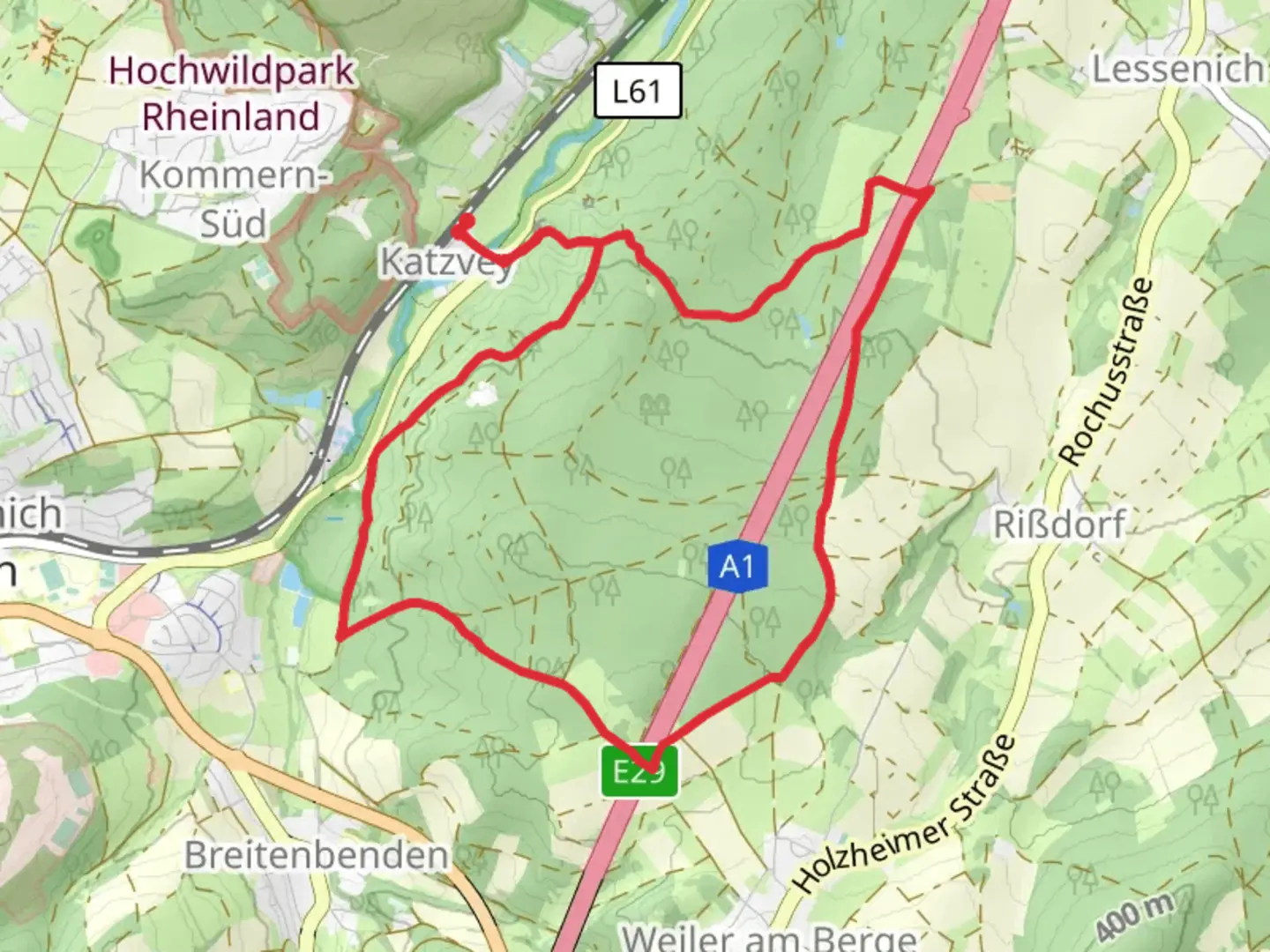
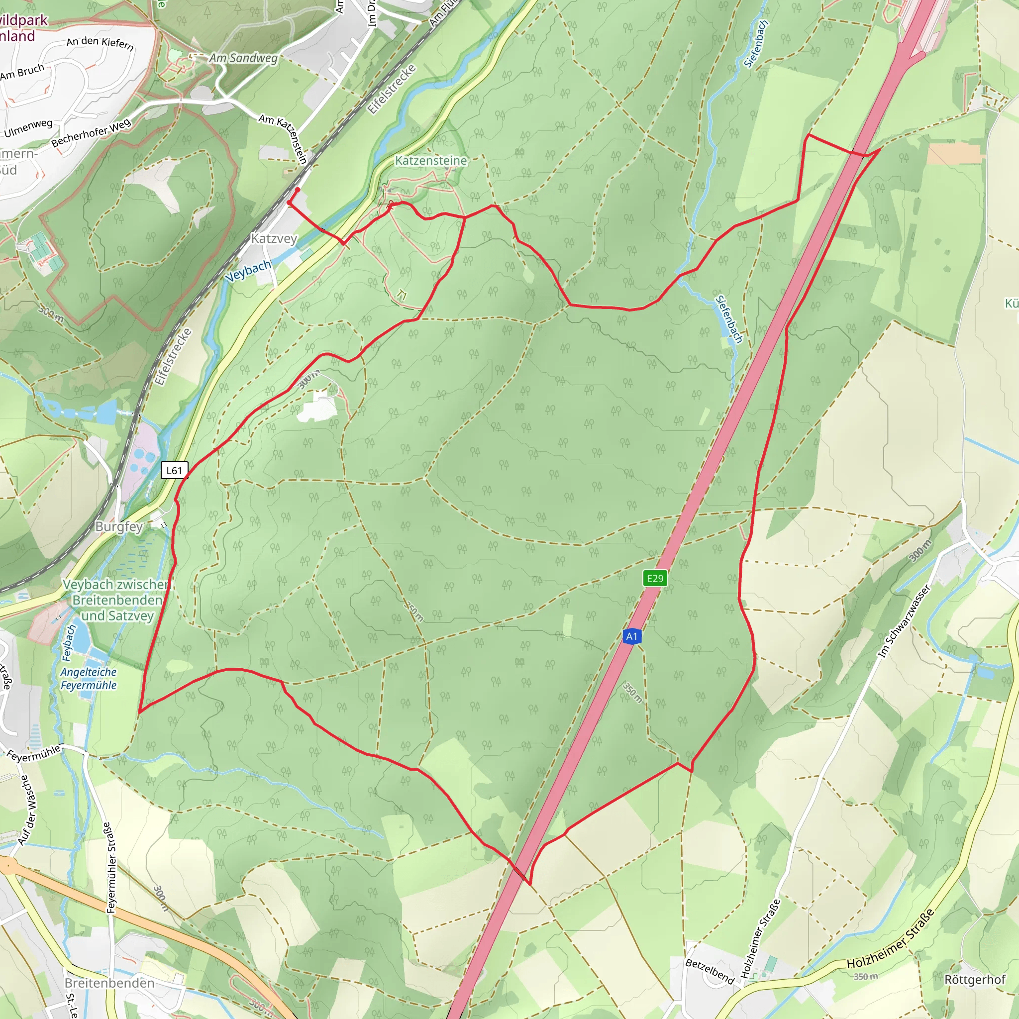
Starting near Kreis Euskirchen, Germany, the Roemerkanal Wanderweg and Wachendorf Rundweg is a delightful 9 km (5.6 miles) loop trail with an elevation gain of around 100 meters (328 feet). This trail offers a medium difficulty rating, making it suitable for moderately experienced hikers.### Getting There To reach the trailhead, you can drive or use public transport. If driving, set your GPS to Kreis Euskirchen, Germany. For those using public transport, take a train to Euskirchen station and then a local bus to the nearest stop at Wachendorf. From there, it's a short walk to the trailhead.### Trail Overview The trail begins near the historic town of Euskirchen, known for its Roman heritage. As you start your hike, you'll immediately notice the lush greenery and well-marked paths. The trail is a loop, so you'll end up back where you started, making logistics simpler.### Historical Significance One of the most fascinating aspects of this trail is its historical significance. The Roemerkanal, or Roman Canal, was an ancient aqueduct system built by the Romans to supply water to the city of Cologne. As you hike, you'll come across remnants of this ancient engineering marvel. Look out for the well-preserved sections of the canal, which are often accompanied by informational plaques detailing their history.### Nature and Wildlife The trail meanders through a variety of landscapes, including dense forests, open meadows, and rolling hills. Keep an eye out for local wildlife such as deer, foxes, and a variety of bird species. The flora is equally diverse, with oak, beech, and pine trees dominating the forested sections. In the spring and summer, the meadows are awash with wildflowers, adding a splash of color to your hike.### Key Landmarks - Roman Canal Remnants: Approximately 2 km (1.2 miles) into the hike, you'll encounter the first significant remnants of the Roman Canal. These ancient structures are a testament to Roman engineering prowess. - Wachendorf Castle: Around the 5 km (3.1 miles) mark, you'll come across Wachendorf Castle. This medieval castle is a great spot for a break and some photos. - Panoramic Viewpoints: As you ascend to the higher elevations, you'll be rewarded with panoramic views of the surrounding countryside. These viewpoints are perfect for taking a moment to appreciate the natural beauty of the region.### Navigation The trail is well-marked, but it's always a good idea to have a reliable navigation tool. HiiKER is an excellent app for this purpose, providing detailed maps and real-time tracking to ensure you stay on course.### Trail Conditions The trail is generally well-maintained, but be prepared for some uneven terrain and occasional muddy patches, especially after rain. Good hiking boots are recommended. There are a few steep sections, but they are short and manageable for most hikers.### Facilities There are no facilities directly on the trail, so make sure to bring enough water and snacks for the hike. The town of Euskirchen has several cafes and restaurants where you can enjoy a meal before or after your hike.### Safety Tips - Check the weather forecast before heading out. - Carry a basic first aid kit. - Inform someone of your hiking plans and expected return time.This trail offers a perfect blend of natural beauty, historical intrigue, and moderate physical challenge, making it a rewarding experience for any hiker.
What to expect?
Activity types
Comments and Reviews
User comments, reviews and discussions about the Roemerkanal Wanderweg and Wachendorf Rundweg, Germany.
4.0
average rating out of 5
3 rating(s)
