Download
Preview
Add to list
More
8.0 km
~2 hrs 7 min
314 m
Loop
“The Gemünd to Wolfgarten Loop is a scenic 8 km trail featuring lush forests, historical landmarks, and panoramic views.”
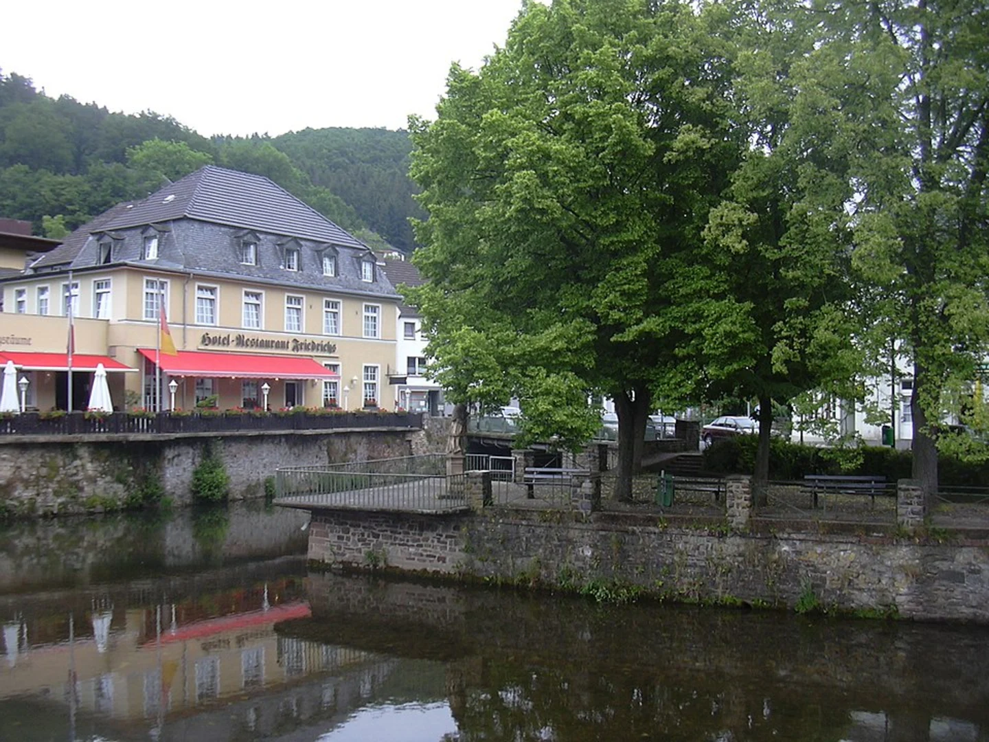
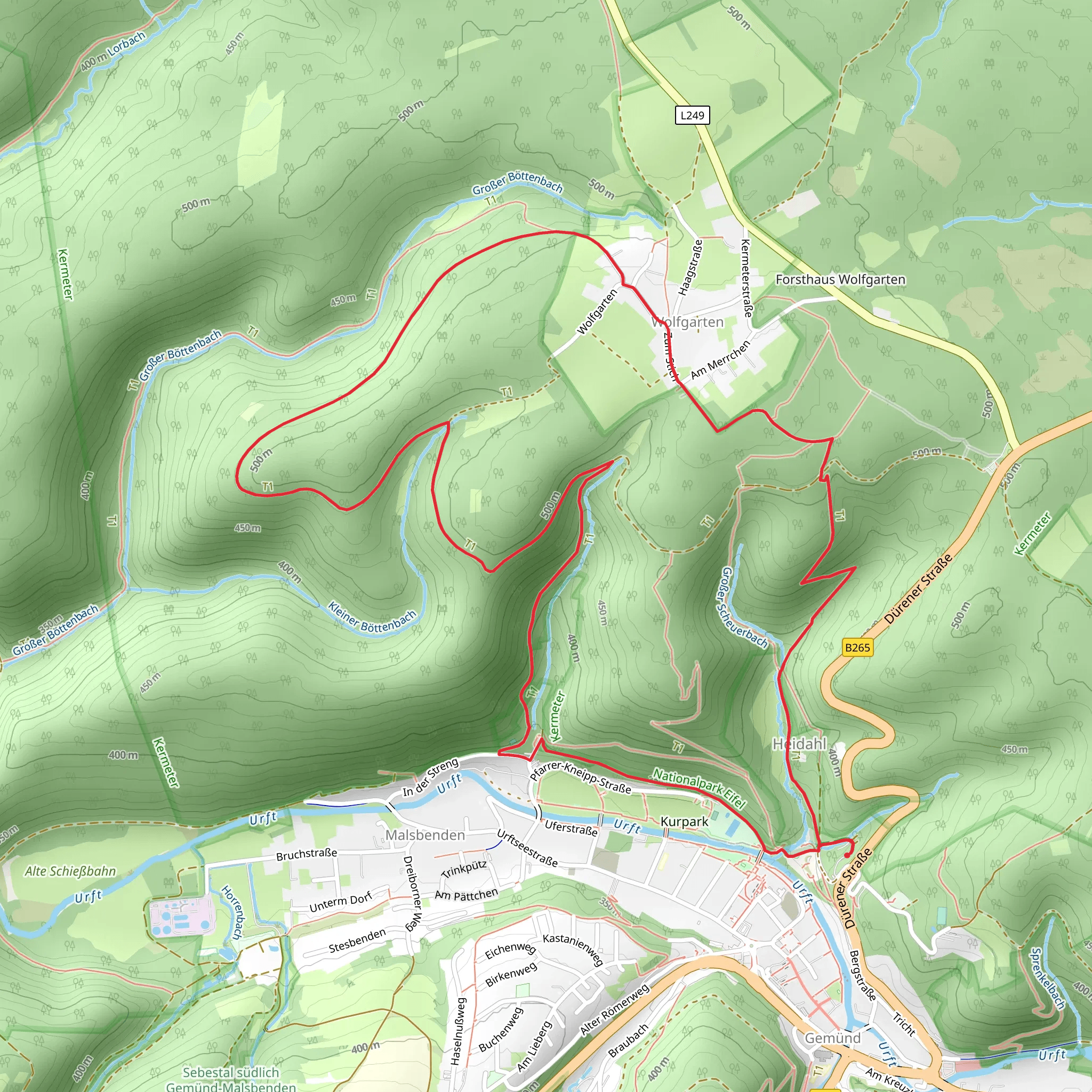
Starting near Kreis Euskirchen, Germany, the Gemünd to Wolfgarten Loop is a scenic 8 km (5 miles) trail with an elevation gain of approximately 300 meters (984 feet). This loop trail is rated as medium difficulty, making it suitable for moderately experienced hikers.### Getting There To reach the trailhead, you can drive or use public transport. If driving, set your GPS to Gemünd, a small town in the district of Euskirchen. There are parking facilities available near the trailhead. For those using public transport, take a train to Kall station, which is the nearest major railway station. From Kall, you can catch a bus to Gemünd. The bus ride is approximately 20 minutes.### Trail Overview The trail begins in the charming town of Gemünd, known for its picturesque landscapes and historical significance. As you start your hike, you'll immediately be immersed in the lush greenery of the Eifel National Park. The first section of the trail is relatively flat, allowing you to ease into the hike while enjoying the serene surroundings.### Key Landmarks and Nature Around the 2 km (1.2 miles) mark, you'll encounter the Urft Dam, a significant historical landmark. Built between 1900 and 1905, the dam is an impressive feat of engineering and offers stunning views of the Urft Reservoir. This is a great spot to take a short break and soak in the scenery.Continuing on, the trail begins to ascend gradually. As you climb, you'll pass through dense forests of beech and oak trees. Keep an eye out for local wildlife, including deer, wild boar, and a variety of bird species. The Eifel National Park is known for its biodiversity, so nature enthusiasts will find plenty to appreciate.### Mid-Trail Highlights At approximately 4 km (2.5 miles), you'll reach the highest point of the trail, offering panoramic views of the surrounding landscape. This section of the trail is particularly rewarding, with vistas that stretch across the Eifel region. The elevation gain here is about 150 meters (492 feet) from the start, making it a moderate climb.### Historical Significance The region around Gemünd and Wolfgarten has a rich history. During World War II, the area was part of the Battle of the Hürtgen Forest, one of the longest battles fought on German soil. As you hike, you may come across remnants of old bunkers and fortifications, serving as poignant reminders of the past.### Final Stretch The descent begins around the 6 km (3.7 miles) mark, leading you back towards Gemünd. This section of the trail is less steep, allowing for a leisurely walk back to the starting point. Along the way, you'll pass through open meadows and small streams, adding variety to the landscape.### Navigation and Safety For navigation, it is highly recommended to use the HiiKER app, which provides detailed maps and real-time updates. The trail is well-marked, but having a reliable navigation tool ensures you stay on track.### Practical Information - Water and Snacks: There are no facilities along the trail, so bring enough water and snacks. - Footwear: Sturdy hiking boots are recommended due to uneven terrain. - Weather: Check the weather forecast before you go, as conditions can change rapidly in the Eifel region.This loop trail offers a perfect blend of natural beauty, historical landmarks, and moderate physical challenge, making it a rewarding experience for hikers.
What to expect?
Activity types
Comments and Reviews
User comments, reviews and discussions about the Gemünd to Wolfgarten Loop, Germany.
5.0
average rating out of 5
1 rating(s)

