Download
Preview
Add to list
More
8.3 km
~1 hrs 56 min
166 m
Loop
“An 8 km scenic loop in Eifel, blending nature, history, and moderate challenge for diverse hikers.”
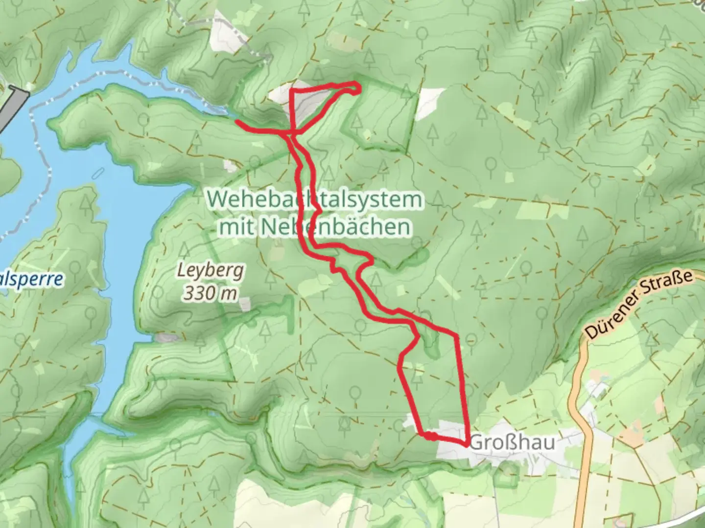
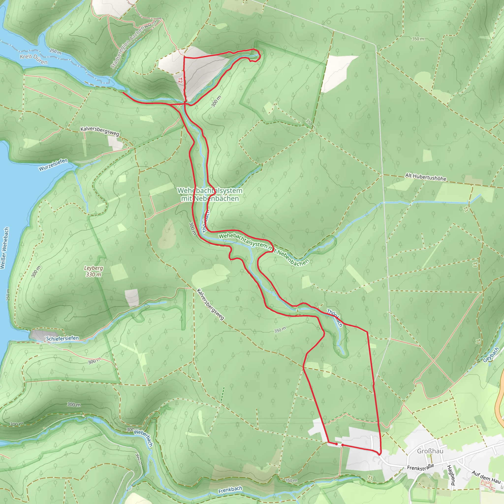
Starting near Kreis Düren, Germany, the Wehebachtalsperre Walk from Großhau is an 8 km (approximately 5 miles) loop trail with an elevation gain of around 100 meters (328 feet). This medium-difficulty hike offers a blend of natural beauty and historical significance, making it a rewarding experience for hikers of various skill levels.
Getting There To reach the trailhead, you can drive or use public transport. If driving, set your GPS to Großhau, a small village near Kreis Düren. There is ample parking available near the starting point. For those using public transport, take a train to Düren and then a bus to Großhau. The nearest significant landmark to the trailhead is the Großhau Church, which is a short walk from the starting point.
Trail Overview The trail begins near the Großhau Church and quickly immerses you in the serene beauty of the Eifel region. The path is well-marked and maintained, making navigation straightforward. For those who prefer digital navigation, the HiiKER app provides detailed maps and real-time updates.
Key Landmarks and Points of Interest - **Wehebachtalsperre Reservoir**: About 2 km (1.2 miles) into the hike, you will encounter the Wehebachtalsperre Reservoir. This man-made lake is a stunning sight, surrounded by lush forests and offering a peaceful atmosphere. It's a great spot for a short break and some photography. - **Historical Significance**: The area around the reservoir has historical importance, particularly related to water management and supply in the region. The reservoir was constructed to provide water to the surrounding communities and has been a crucial resource for decades. - **Flora and Fauna**: The trail is rich in biodiversity. You will walk through dense forests of beech and oak trees, and if you're lucky, you might spot some local wildlife such as deer, foxes, and various bird species. Spring and summer bring a burst of wildflowers, adding vibrant colors to the landscape. - **Elevation Gain**: The trail features a gradual elevation gain of about 100 meters (328 feet). The ascent is spread out over the course of the hike, making it manageable for most hikers. The highest point offers panoramic views of the surrounding Eifel region, a perfect reward for your efforts.
Trail Conditions and Safety The trail is mostly composed of dirt paths and gravel roads, with some sections that can be muddy after rain. Good hiking boots are recommended to ensure comfort and stability. Always check the weather forecast before heading out, as conditions can change rapidly.
Navigation and Amenities While the trail is well-marked, carrying a map or using the HiiKER app is advisable for real-time navigation and updates. There are no facilities along the trail, so bring enough water and snacks for the entire hike. The nearest amenities, including restrooms and restaurants, are located in Großhau.
Final Stretch As you loop back towards Großhau, the trail descends gently, offering a relaxing end to your hike. The final stretch takes you through open fields and meadows, providing a different but equally beautiful landscape compared to the forested sections earlier in the hike.
This 8 km loop trail offers a perfect blend of natural beauty, historical significance, and manageable challenge, making it a must-visit for hikers exploring the Eifel region.
What to expect?
Activity types
Comments and Reviews
User comments, reviews and discussions about the Wehebachtalsperre Walk from Großhau, Germany.
average rating out of 5
0 rating(s)
