Download
Preview
Add to list
More
9.3 km
~2 hrs 10 min
188 m
Loop
“The Üdingen to Boich Loop offers a scenic, historically rich 10 km hike with moderate difficulty.”
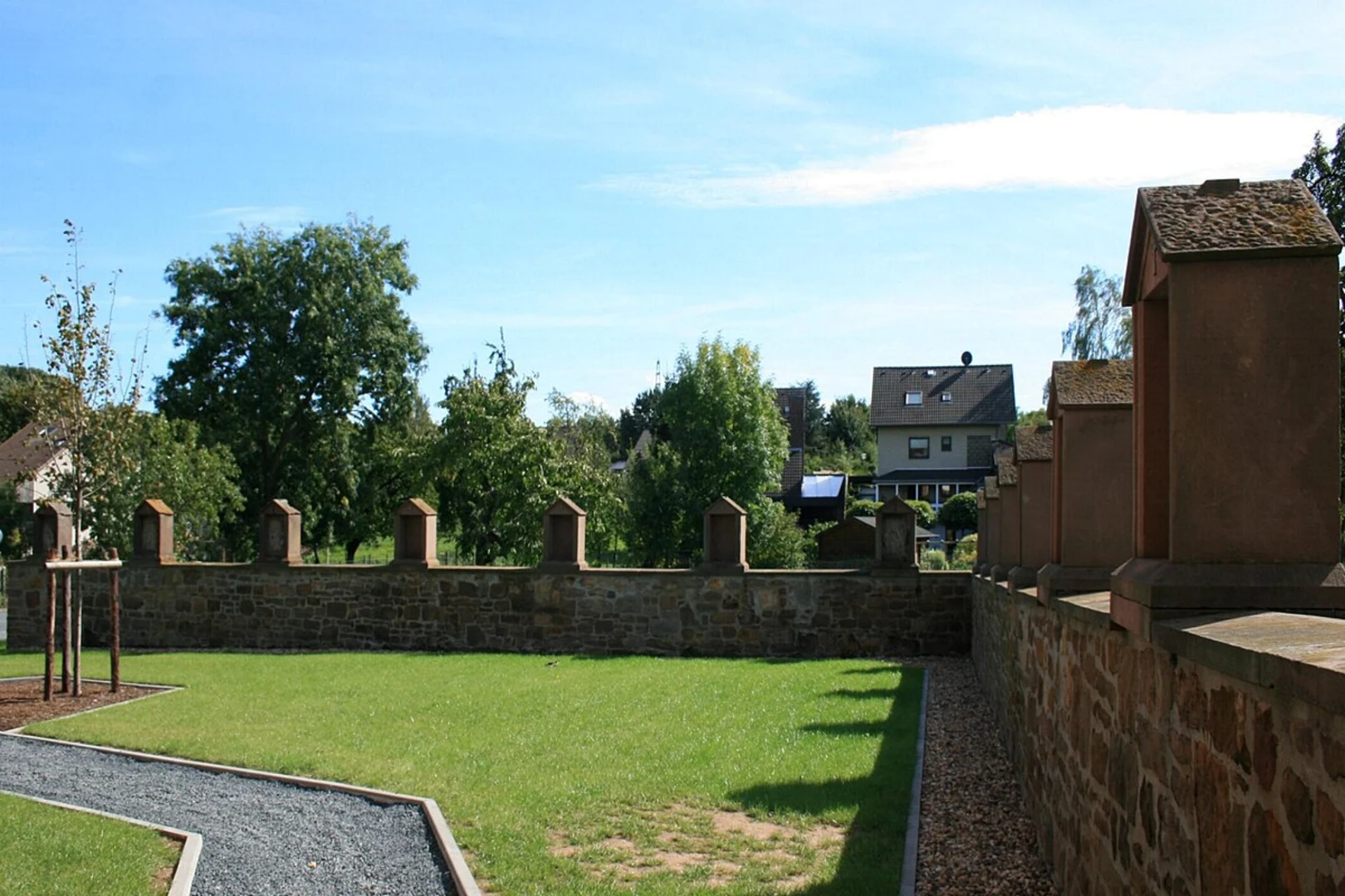
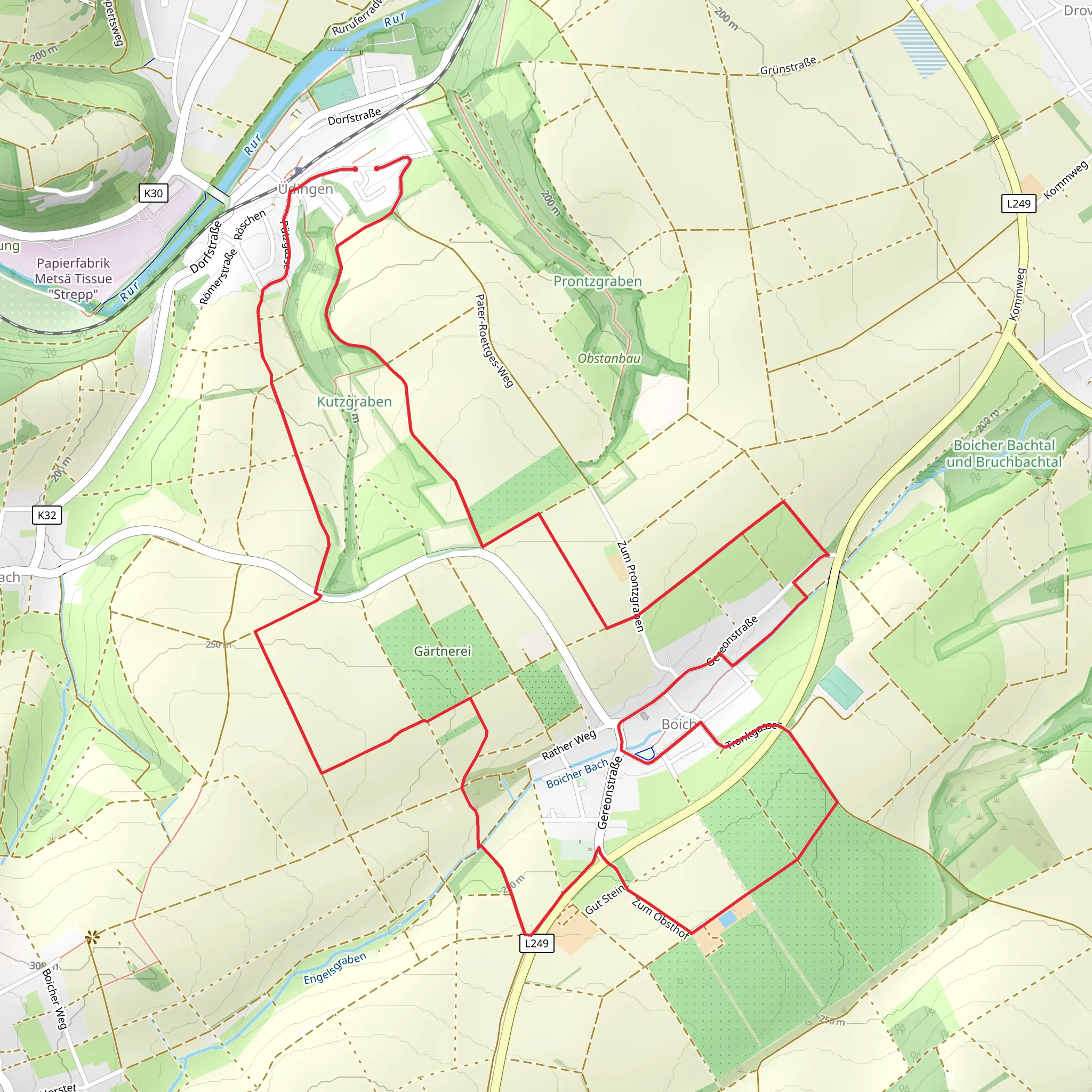
Starting near Kreis Düren, Germany, the Üdingen to Boich Loop is a captivating 10 km (6.2 miles) trail with an elevation gain of approximately 100 meters (328 feet). This point-to-point trail is estimated to be of medium difficulty, making it suitable for moderately experienced hikers.### Getting There To reach the trailhead, you can either drive or use public transport. If driving, set your GPS to Kreis Düren, Germany, and look for parking options near the starting point. For those using public transport, take a train to Düren Station. From there, local buses can take you closer to the trailhead. The nearest significant landmark is the Düren City Center, which is well-connected by public transport.### Trail Overview The trail begins in the charming village of Üdingen, a place known for its picturesque landscapes and serene environment. As you start your hike, you'll be greeted by rolling hills and lush greenery. The initial part of the trail is relatively flat, making it a good warm-up for the more challenging sections ahead.### Key Landmarks and Nature Around the 2 km (1.2 miles) mark, you'll come across the first significant landmark: the ancient Üdingen Church. This historical site dates back to the medieval period and offers a glimpse into the region's rich history. Take a moment to appreciate the architecture before continuing your journey.As you proceed, the trail gradually ascends, offering panoramic views of the surrounding countryside. The elevation gain is gentle but steady, making it manageable for most hikers. At approximately 5 km (3.1 miles), you'll reach the highest point of the trail, where you can enjoy a well-deserved break and take in the stunning vistas.### Flora and Fauna The trail is abundant with diverse flora and fauna. Depending on the season, you might encounter wildflowers, dense forests, and a variety of bird species. Keep an eye out for deer and other wildlife that are native to this region. The trail is particularly beautiful in the spring and autumn when the foliage is at its most vibrant.### Historical Significance The region around Kreis Düren has a rich historical background. During your hike, you'll come across several markers and plaques that provide insights into the area's past. From ancient settlements to remnants of World War II, the trail is a living museum that tells the story of the region's evolution over centuries.### Navigation and Safety For navigation, it's highly recommended to use the HiiKER app, which provides detailed maps and real-time updates. The trail is well-marked, but having a reliable navigation tool will ensure you stay on track. Make sure to carry enough water, wear appropriate footwear, and be prepared for changing weather conditions.### Final Stretch The final part of the trail descends gently towards the village of Boich. This section is relatively easy and offers a relaxing end to your hike. As you approach Boich, you'll pass through scenic farmlands and small wooded areas, providing a peaceful conclusion to your journey.The Üdingen to Boich Loop is a delightful trail that combines natural beauty, historical landmarks, and moderate physical challenge. Whether you're a local or a visitor, this hike offers a rewarding experience that showcases the best of what Kreis Düren has to offer.
What to expect?
Activity types
Comments and Reviews
User comments, reviews and discussions about the Üdingen to Boich Loop, Germany.
4.0
average rating out of 5
1 rating(s)

