Download
Preview
Add to list
More
13.6 km
~3 hrs 23 min
410 m
Loop
“Explore lush forests, historic ruins, and stunning vistas on the moderately challenging NaturKraftweg Moerlenbach Loop.”
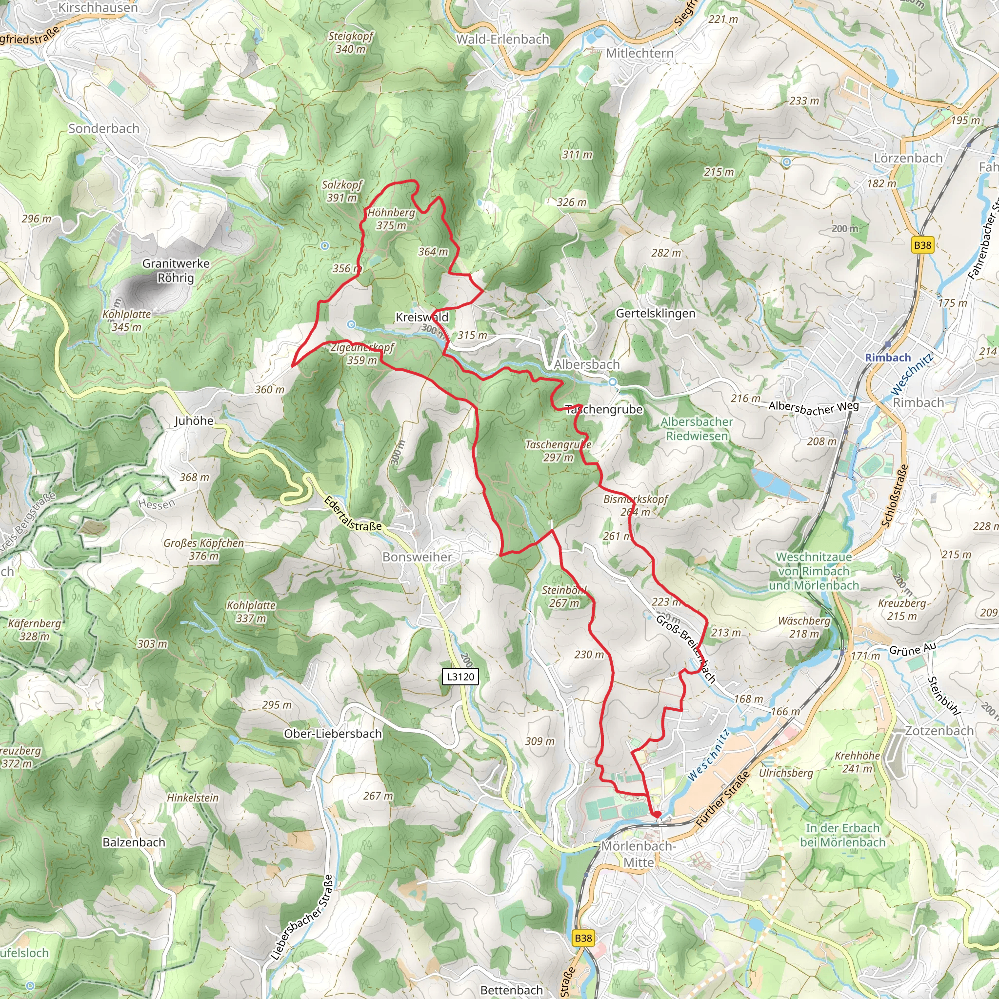
Starting near Kreis Bergstraße in Germany, the NaturKraftweg Moerlenbach Loop is a scenic 14 km (8.7 miles) trail with an elevation gain of approximately 400 meters (1,312 feet). This loop trail is rated as medium difficulty, making it suitable for moderately experienced hikers.
Getting There To reach the trailhead, you can either drive or use public transport. If driving, set your GPS to Moerlenbach, Kreis Bergstraße, and look for parking options near the town center. For public transport, take a train to the Moerlenbach station, which is well-connected to major cities like Frankfurt and Heidelberg. From the station, the trailhead is a short walk away.
Trail Overview The trail begins with a gentle ascent through lush forests, offering a serene start to your hike. As you progress, you'll encounter a mix of deciduous and coniferous trees, providing ample shade and a cool environment, especially during the summer months. The first 3 km (1.9 miles) involve a gradual climb, gaining about 150 meters (492 feet) in elevation.
Significant Landmarks Around the 4 km (2.5 miles) mark, you'll come across the historic Moerlenbach Castle ruins. These ruins date back to the medieval period and offer a glimpse into the region's rich history. Take a moment to explore the area and enjoy the panoramic views of the surrounding landscape.
Continuing on, the trail leads you to the picturesque Weschnitz Valley. This section is relatively flat and stretches for about 5 km (3.1 miles). The valley is known for its diverse flora and fauna, including wildflowers, deer, and various bird species. Keep your camera handy for some excellent wildlife photography opportunities.
Elevation and Terrain The next segment involves a steeper climb, gaining another 200 meters (656 feet) over 3 km (1.9 miles). This part of the trail can be challenging, especially after rainfall, as the path may become slippery. Good hiking boots with strong grip are recommended. The effort is well worth it, as you'll be rewarded with stunning views from the hilltop, overlooking the Odenwald region.
Navigation and Safety For navigation, it's advisable to use the HiiKER app, which provides detailed maps and real-time updates. The trail is well-marked, but having a reliable navigation tool ensures you stay on track. Always carry enough water, especially during warmer months, and consider packing a light snack or lunch to enjoy at one of the scenic viewpoints.
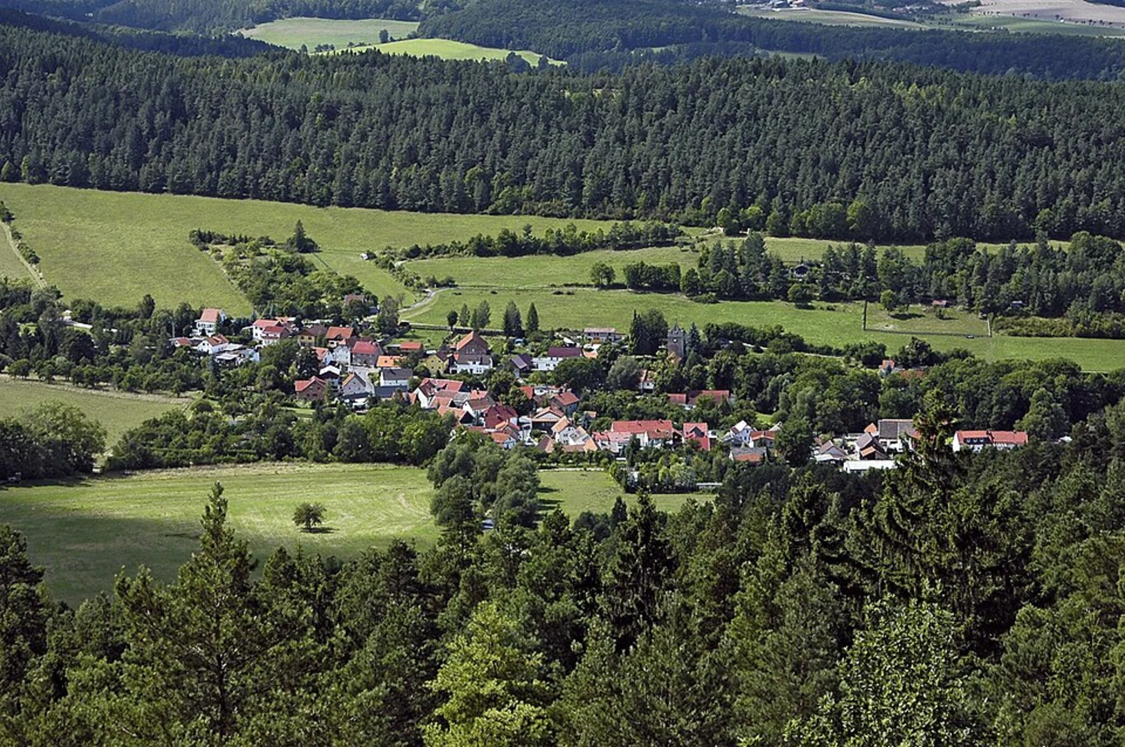
Final Stretch The final 4 km (2.5 miles) of the loop take you through a series of meadows and small villages, offering a peaceful end to your hike. The descent is gradual, making it a comfortable walk back to the trailhead. Along the way, you'll pass by traditional German houses and farms, giving you a taste of local life.
Historical Significance The region around Moerlenbach has a rich history, with evidence of human settlement dating back to the Roman era. The trail itself passes through areas that were once part of ancient trade routes, adding an extra layer of historical intrigue to your hike.
Whether you're a history buff, a nature lover, or simply looking for a moderate hike with varied scenery, the NaturKraftweg Moerlenbach Loop offers a rewarding experience.
What to expect?
Activity types
Comments and Reviews
User comments, reviews and discussions about the NaturKraftweg Moerlenbach Loop, Germany.
4.33
average rating out of 5
3 rating(s)

