Download
Preview
Add to list
More
10.0 km
~2 hrs 22 min
222 m
Point-to-Point
“Journey through serene landscapes and historical charm on this moderately challenging trail near Konstanz.”
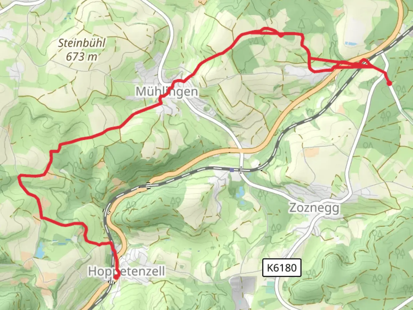
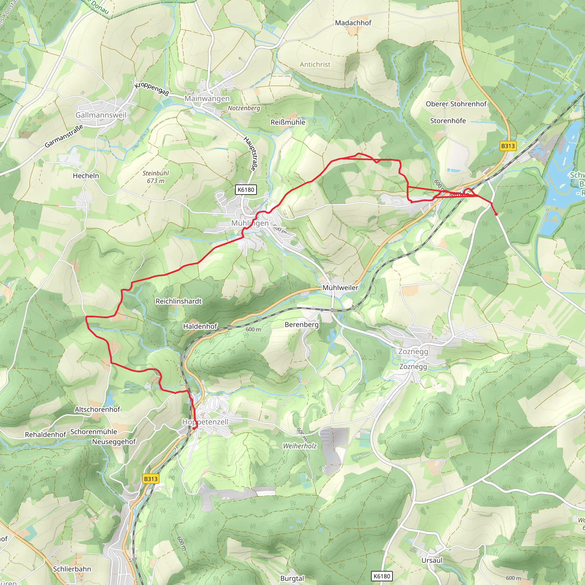
Nestled near the picturesque city of Konstanz, Germany, the trail from Muehle to Hoppetenzell via Gelbe Raute Muehlingen offers a delightful journey through the serene landscapes of the region. This point-to-point trail stretches approximately 10 kilometers (about 6.2 miles) with an elevation gain of around 200 meters (approximately 656 feet), making it a moderately challenging hike suitable for those with some hiking experience.
Getting There
To reach the trailhead, travelers can opt for public transport or drive by car. If you're using public transport, Konstanz is well-connected by train, and from there, local buses can take you closer to the starting point near Muehlingen. For those driving, parking is available near the trailhead, and the journey from Konstanz is a scenic drive through the charming countryside.
Trail Highlights
As you embark on this hike, you'll be greeted by the lush greenery and rolling hills typical of the region. The trail is marked by the distinctive yellow diamond, known locally as the "Gelbe Raute," which guides hikers along the path. The initial section of the trail meanders through dense forests, offering a cool and shaded environment, especially refreshing during the warmer months.
#### Nature and Wildlife
The trail is a haven for nature enthusiasts. Keep an eye out for the diverse flora, including wildflowers that bloom in vibrant colors during spring and summer. Birdwatchers will delight in the variety of avian species that inhabit the area, from songbirds to birds of prey. The forested sections may also reveal glimpses of deer and other small mammals, adding to the trail's natural charm.
#### Historical Significance
This region is steeped in history, with the trail passing through areas that have been inhabited for centuries. The nearby town of Muehlingen has historical roots dating back to medieval times, and remnants of this rich past can be seen in the architecture and layout of the surrounding villages. As you hike, consider the generations of people who have traversed these paths, contributing to the cultural tapestry of the area.
Navigational Tips
For navigation, the HiiKER app is an excellent tool to ensure you stay on track. The trail is well-marked, but having a digital map can provide additional peace of mind, especially in areas where the path might intersect with other trails.
Final Stretch
As you approach Hoppetenzell, the landscape opens up, offering panoramic views of the surrounding countryside. The gentle descent into the village is a pleasant way to conclude the hike, with the opportunity to explore the local area or enjoy a well-deserved rest at one of the local eateries.
This trail offers a perfect blend of natural beauty, historical intrigue, and moderate physical challenge, making it a rewarding experience for those who venture along its path.
Comments and Reviews
User comments, reviews and discussions about the Muehle to Hoppetenzell via Gelbe Raute Muehlingen, Germany.
average rating out of 5
0 rating(s)
