Download
Preview
Add to list
More
10.1 km
~2 hrs 26 min
257 m
Loop
“Explore Kempten's rich history and stunning landscapes on this 10 km moderate loop trail.”
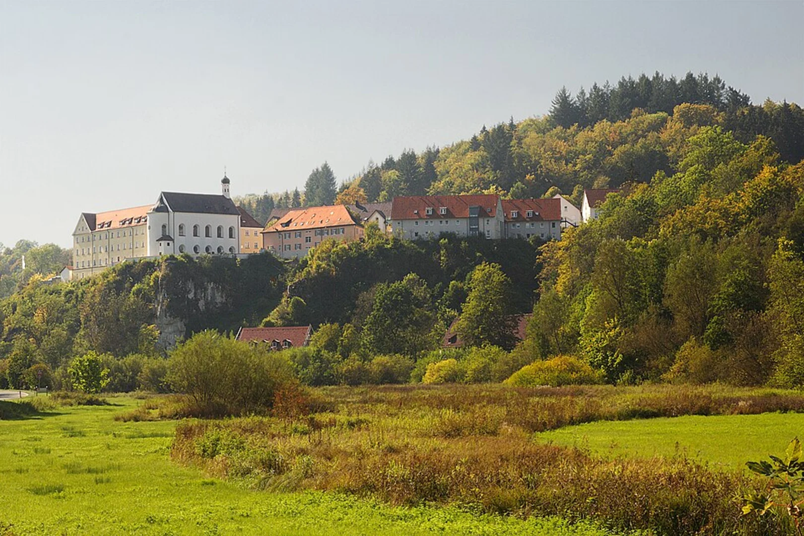
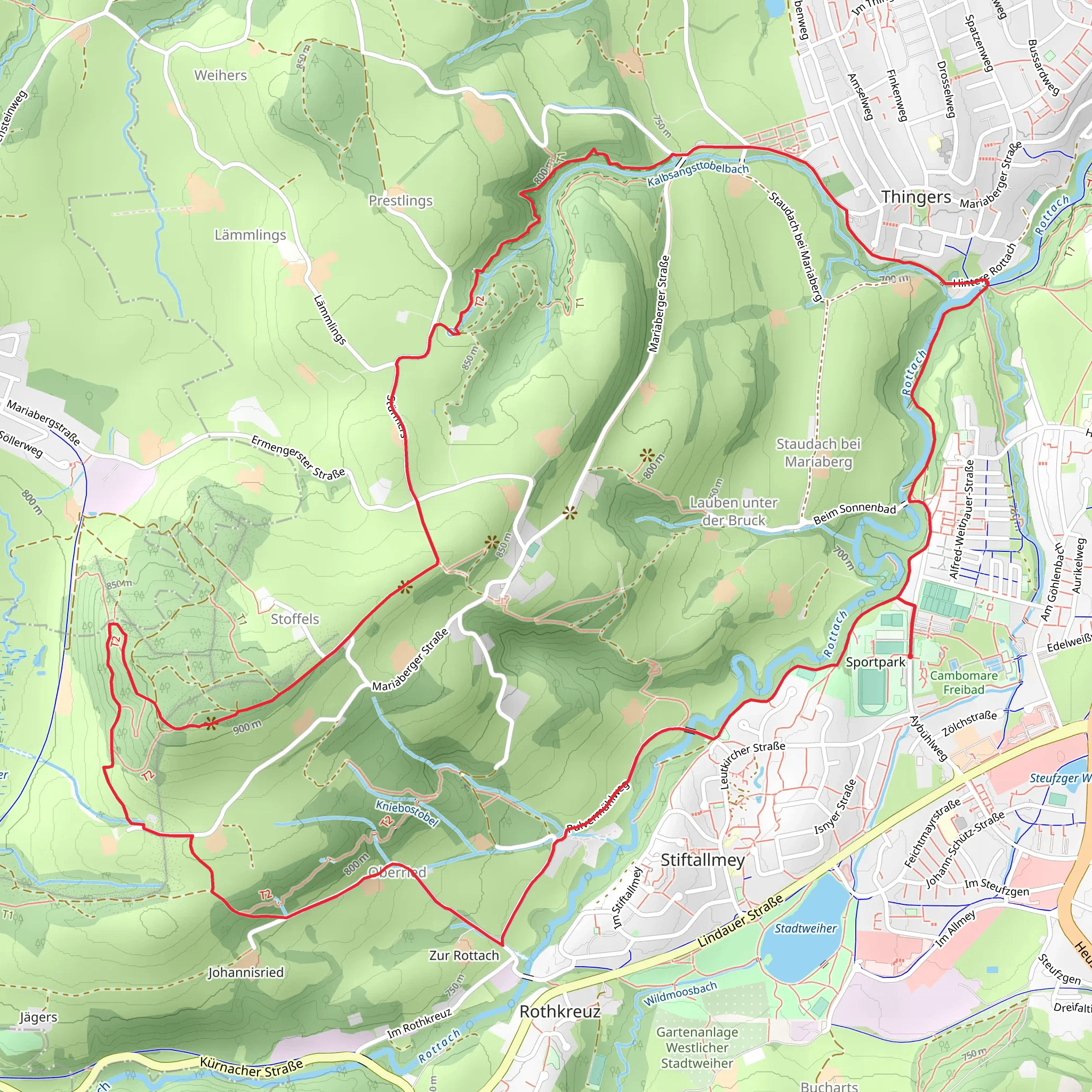
Starting near the picturesque town of Kempten (Allgäu) in Germany, this 10 km (6.2 miles) loop trail offers a delightful mix of natural beauty and historical intrigue. With an elevation gain of around 200 meters (656 feet), the trail is rated as medium difficulty, making it accessible for most hikers with a moderate level of fitness.### Getting There To reach the trailhead, you can either drive or use public transport. If driving, head towards Kempten (Allgäu) and look for parking options near the town center. For those using public transport, Kempten is well-connected by train. From the Kempten Hauptbahnhof (main train station), you can take a local bus or a short taxi ride to the trailhead.### Trail Highlights
Historical Significance
Kempten is one of the oldest urban settlements in Germany, with a history dating back to Roman times. As you start your hike, you'll notice remnants of this rich history, including ancient ruins and historical markers that provide context about the region's past.#### Natural Beauty The trail meanders through lush forests and open meadows, offering a variety of landscapes. Early in the hike, you'll pass through dense woodland areas where the canopy provides a cool, shaded environment. Keep an eye out for local wildlife such as deer, foxes, and a variety of bird species.#### Kalbsangsttobel Gorge One of the most striking features of this trail is the Kalbsangsttobel Gorge. Approximately 5 km (3.1 miles) into the hike, you'll encounter this dramatic natural formation. The gorge is carved by a fast-flowing stream, and the sound of rushing water adds to the serene atmosphere. There are several viewpoints along the way where you can stop to take in the breathtaking scenery.### Navigation and Safety Given the trail's moderate difficulty, it's advisable to use a reliable navigation tool like HiiKER to stay on track. The trail is well-marked, but having a digital map can be incredibly helpful, especially in the more remote sections.#### Elevation and Terrain The trail features a gradual ascent of about 200 meters (656 feet), with the steepest sections occurring near the gorge. The terrain varies from well-trodden paths to rocky sections, so sturdy hiking boots are recommended. Trekking poles can also be useful for added stability.### Flora and Fauna The diverse ecosystem along the trail includes a variety of plant species, from towering pines to delicate wildflowers. In the spring and summer months, the meadows are awash with color, making it a great time for nature photography. Wildlife is abundant, so keep your camera ready for unexpected encounters.### Practical Tips - Water and Snacks: There are no facilities along the trail, so bring enough water and snacks to sustain you for the duration of the hike. - Weather: The weather can be unpredictable, so check the forecast before you set out and dress in layers. - Leave No Trace: As always, follow the Leave No Trace principles to keep the trail pristine for future hikers.This trail offers a perfect blend of natural beauty, historical significance, and moderate physical challenge, making it a rewarding experience for any hiker.
Comments and Reviews
User comments, reviews and discussions about the Kempten and Kalbsangsttobel, Germany.
4.14
average rating out of 5
7 rating(s)

