Download
Preview
Add to list
More
11.7 km
~2 hrs 47 min
275 m
Point-to-Point
“Explore lush forests, historical landmarks, and stunning vistas on the moderately challenging Zierenberg - Rohrbachweg trail.”
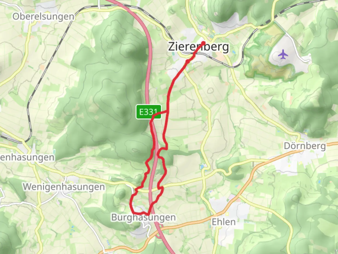
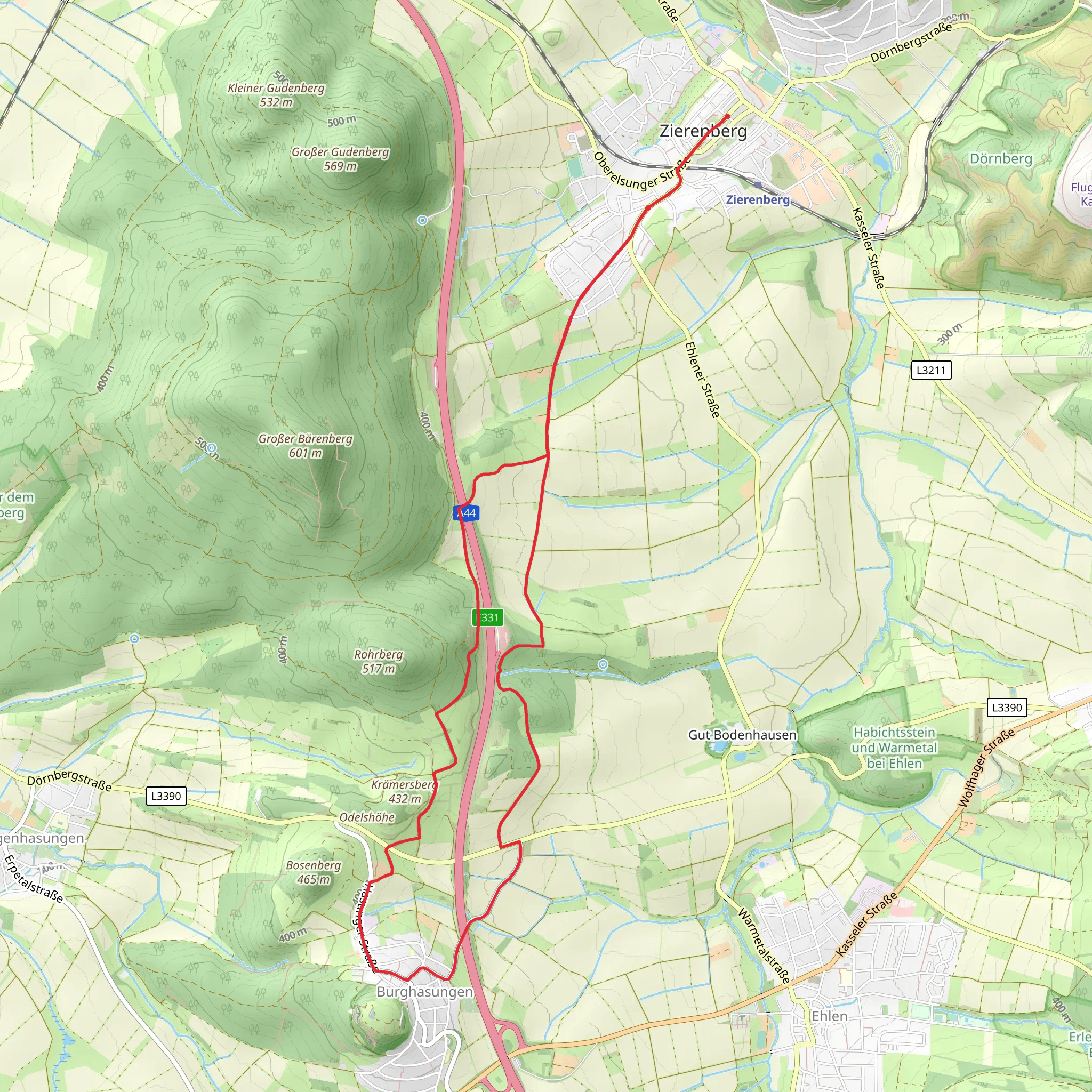
Starting near Kassel, Germany, the Zierenberg - Rohrbachweg trail spans approximately 12 km (7.5 miles) with an elevation gain of around 200 meters (656 feet). This point-to-point trail is estimated to be of medium difficulty, making it suitable for moderately experienced hikers.
Getting There To reach the trailhead, you can either drive or use public transport. If driving, head towards Zierenberg, a small town located about 20 km (12.4 miles) west of Kassel. There are parking facilities available near the starting point. For those using public transport, take a train or bus from Kassel to Zierenberg. The town is well-connected, and the trailhead is within walking distance from the Zierenberg train station.
Trail Overview The trail begins in the charming town of Zierenberg, known for its half-timbered houses and historical significance. As you start your hike, you'll pass through lush forests and open meadows, offering a mix of shaded and sunny sections. The initial part of the trail is relatively flat, making it a good warm-up for the more challenging sections ahead.
Key Landmarks and Sections - **Zierenberg to Dörnberg (0-4 km / 0-2.5 miles):** The first 4 km (2.5 miles) take you through dense forests and past the Dörnberg Nature Reserve. This area is rich in biodiversity, with a variety of flora and fauna. Keep an eye out for deer and various bird species. The elevation gain in this section is minimal, making it a pleasant start to your hike.
- Dörnberg to Helfensteine (4-8 km / 2.5-5 miles): As you continue, the trail begins to ascend more noticeably. You'll reach the Helfensteine rock formations, a significant geological feature. These ancient basalt columns offer stunning views of the surrounding landscape. This section has an elevation gain of about 100 meters (328 feet), so be prepared for a moderate climb.
- Helfensteine to Rohrbach (8-12 km / 5-7.5 miles): The final stretch of the trail takes you downhill towards Rohrbach. This section is less forested, providing panoramic views of the countryside. The descent is gradual, making it a relaxing end to your hike. You'll pass through small villages and farmlands, giving you a glimpse of rural life in this region.
Historical Significance The area around Zierenberg and Dörnberg has a rich history dating back to medieval times. The Helfensteine rock formations were once considered a sacred site by ancient Germanic tribes. Additionally, the town of Zierenberg itself has historical buildings and landmarks that date back several centuries, offering a glimpse into the region's past.
Navigation and Safety For navigation, it's highly recommended to use the HiiKER app, which provides detailed maps and real-time updates. The trail is well-marked, but having a reliable navigation tool ensures you stay on track. Always carry sufficient water, snacks, and a first-aid kit. The weather can be unpredictable, so check the forecast and dress in layers.
Wildlife and Nature The trail offers a diverse range of natural habitats, from dense forests to open meadows. You'll encounter various plant species, including oak, beech, and pine trees. Wildlife is abundant, with opportunities to see deer, foxes, and a variety of birds. The Dörnberg Nature Reserve is particularly notable for its rich biodiversity.
This trail offers a perfect blend of natural beauty, historical significance, and moderate physical challenge, making it a rewarding experience for any hiker.
Comments and Reviews
User comments, reviews and discussions about the Zierenberg - Rohrbachweg, Germany.
average rating out of 5
0 rating(s)
