9.0 km
~2 hrs 2 min
135 m
“Explore Karlsruhe's enchanting landscapes on a medium-difficulty trail with serene nature and historical intrigue.”
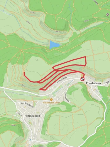
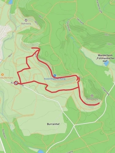
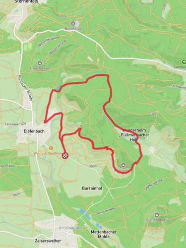
Nestled near the vibrant city of Karlsruhe, Germany, this 9 km (approximately 5.6 miles) loop trail offers a delightful mix of natural beauty and historical intrigue. With an elevation gain of around 100 meters (about 328 feet), the trail is rated as medium difficulty, making it accessible for most hikers with a moderate level of fitness.
### Getting There
To reach the trailhead, you can drive or use public transportation. If you're driving, head towards the village of Stupferich, located southeast of Karlsruhe. There are parking facilities available near the trailhead. For those using public transport, take a train to Karlsruhe Hauptbahnhof and then a local bus towards Stupferich. The bus stop is conveniently located near the starting point of the trail.
### Trail Highlights
The trail begins with a gentle ascent through lush forested areas, where the path is marked by the Blaues Kreuz (Blue Cross) trail markers. As you make your way along the trail, you'll be enveloped by the serene sounds of nature, with the rustling leaves and chirping birds providing a soothing soundtrack to your hike.
#### Bernhardsweiher
One of the key highlights of this trail is the Bernhardsweiher, a picturesque pond that serves as a perfect spot for a short break. Located approximately 3 km (1.9 miles) into the hike, the pond is surrounded by dense woodland, offering a tranquil setting to relax and enjoy the natural surroundings. Keep an eye out for local wildlife, including various bird species and small mammals that inhabit the area.
#### Bernhardsbach
Continuing along the loop, you'll encounter the Bernhardsbach, a charming stream that meanders through the forest. The gentle babbling of the water adds to the peaceful ambiance of the trail. This section of the hike is relatively flat, allowing you to fully appreciate the beauty of the surrounding landscape.
### Historical Significance
The region around Karlsruhe is steeped in history, and this trail is no exception. As you hike, you'll be traversing paths that have been used for centuries. The area was historically significant for its strategic location and has seen various cultural influences over the years. While the trail itself does not feature specific historical landmarks, the surrounding region is rich with stories from the past, making it a fascinating area to explore.
### Navigation and Safety
For navigation, it's recommended to use the HiiKER app, which provides detailed maps and real-time updates to ensure you stay on track. The trail is well-marked, but having a reliable navigation tool can enhance your hiking experience and provide peace of mind.
As with any hike, it's important to be prepared. Wear sturdy hiking boots, bring plenty of water, and pack a light snack or lunch to enjoy at one of the scenic spots along the trail. Weather conditions can change, so check the forecast before heading out and dress accordingly.
This trail offers a perfect blend of natural beauty and a touch of historical allure, making it a rewarding experience for those looking to explore the enchanting landscapes near Karlsruhe.
Reviews
User comments, reviews and discussions about the Bernhardsweiher via Blaues Kreuz and Bernhardsbach, Germany.
0.0
average rating out of 5
0 rating(s)


