Download
Preview
Add to list
More
11.3 km
~2 hrs 46 min
314 m
Loop
“Explore the scenic 11 km Hambergturm trail near Kaiserslautern, blending natural beauty, history, and wildlife.”
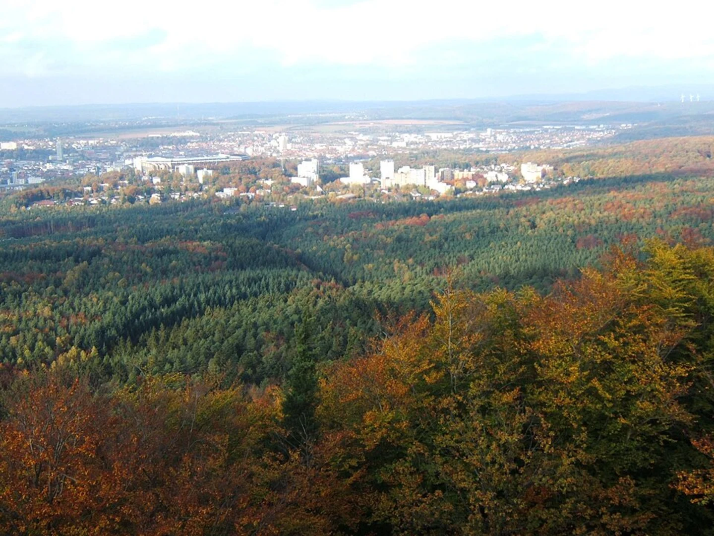
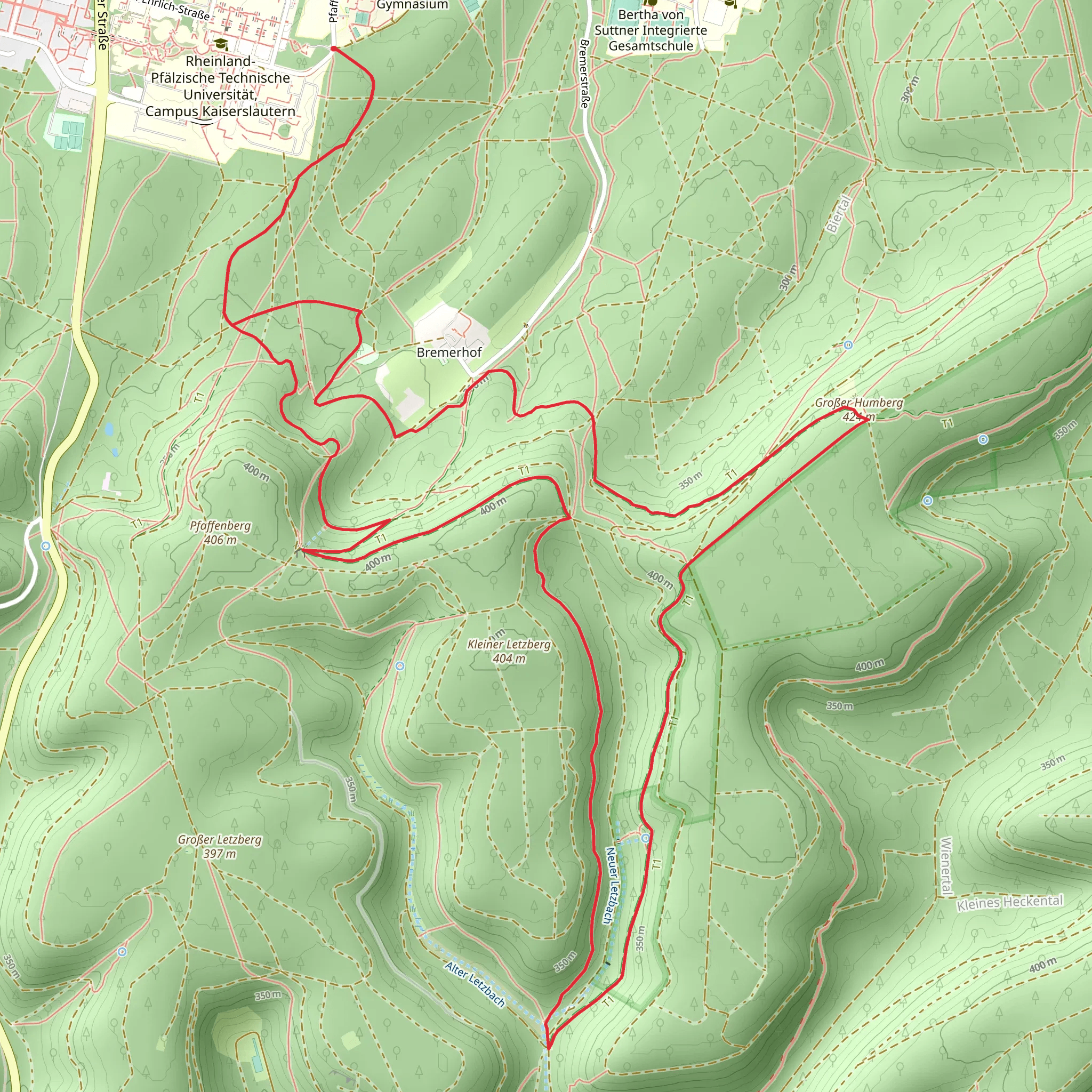
Starting near Kaiserslautern, Germany, the Hambergturm via Pfaelzer Waldpfad trail is a captivating 11 km (approximately 6.8 miles) loop with an elevation gain of around 300 meters (about 984 feet). This medium-difficulty trail offers a blend of natural beauty, historical landmarks, and diverse wildlife, making it a rewarding experience for hikers.### Getting There To reach the trailhead, you can either drive or use public transport. If driving, set your GPS to the nearest significant landmark, which is the Kaiserslautern Hauptbahnhof (main train station). From there, it's a short drive to the trailhead. For those using public transport, take a train to Kaiserslautern Hauptbahnhof and then a local bus or taxi to the starting point.### Trail Overview The trail begins with a gentle ascent through dense forests, offering a serene atmosphere filled with the sounds of chirping birds and rustling leaves. As you progress, you'll encounter a variety of flora, including oak, beech, and pine trees. The first significant landmark is the Humbergturm, a historic tower that offers panoramic views of the surrounding Palatinate Forest. This tower, built in the early 20th century, stands as a testament to the region's rich history and provides a perfect spot for a short break.### Key Sections
Forest Path
Around the 3 km (1.86 miles) mark, the trail meanders through a thick forested area. Here, the path can be narrow and uneven, so sturdy hiking boots are recommended. Keep an eye out for local wildlife such as deer, foxes, and a variety of bird species. This section also features several small streams, adding to the trail's picturesque quality.#### Rocky Outcrops At approximately 6 km (3.7 miles), you'll encounter rocky outcrops that require careful navigation. These rocks offer a bit of a challenge but also provide excellent vantage points for photography. The elevation gain is more noticeable here, so take your time and enjoy the views.#### Historical Sites Around the 8 km (5 miles) mark, you'll come across remnants of old fortifications and bunkers from World War II. These historical sites offer a glimpse into the past and are well worth a brief exploration. Information plaques provide context and historical background, enriching your hiking experience.### Final Stretch The last 3 km (1.86 miles) of the trail are relatively flat and lead you back to the starting point. This section is perfect for cooling down and reflecting on the hike. The path here is well-marked and easy to follow, making it a relaxing end to your journey.### Navigation and Safety For navigation, it's highly recommended to use the HiiKER app, which provides detailed maps and real-time updates. The trail is generally well-marked, but having a reliable navigation tool ensures you stay on track. Always carry enough water, snacks, and a basic first-aid kit. Weather can change rapidly, so check forecasts and dress in layers.This trail offers a balanced mix of natural beauty, historical intrigue, and moderate physical challenge, making it an excellent choice for hikers looking to explore the Palatinate Forest region.
What to expect?
Activity types
Comments and Reviews
User comments, reviews and discussions about the Hambergturm via Pfaelzer Waldpfad, Germany.
4.4
average rating out of 5
5 rating(s)

