Download
Preview
Add to list
More
6.3 km
~1 hrs 31 min
156 m
Loop
“Experience a rewarding 6 km loop blending natural beauty, history, and moderate adventure near Ilm-Kreis, Germany.”
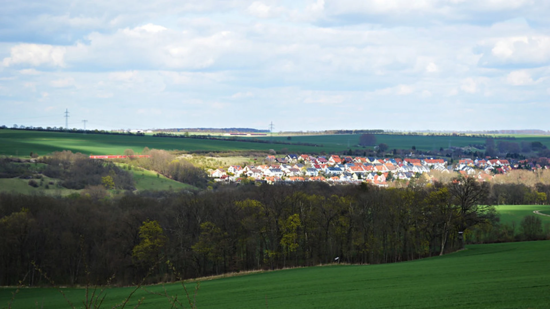
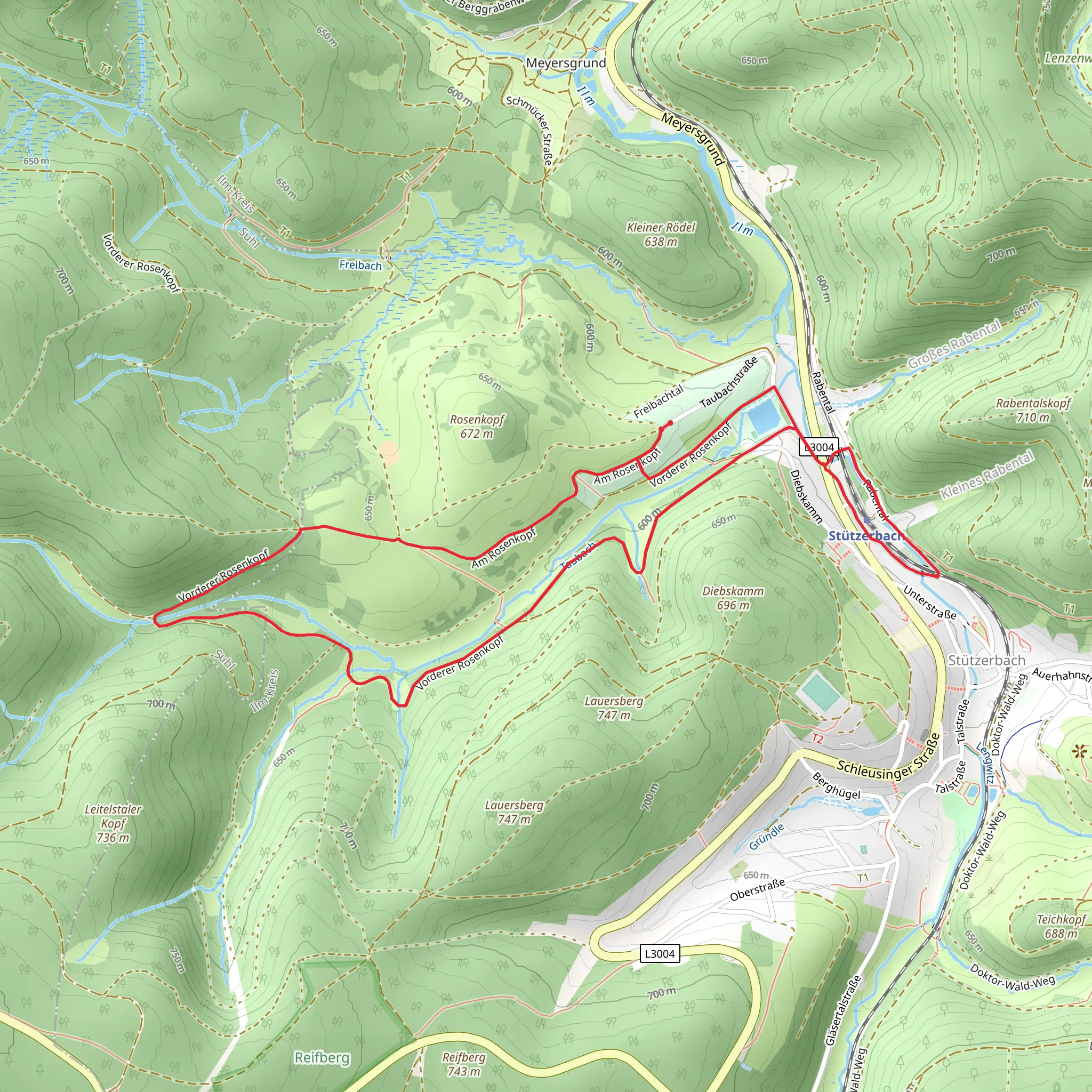
Starting near Ilm-Kreis, Germany, the Taubach via Terrainkurweg trail is a delightful 6 km (approximately 3.7 miles) loop with an elevation gain of around 100 meters (328 feet). This medium-difficulty trail offers a blend of natural beauty, historical significance, and a touch of adventure, making it a rewarding experience for hikers of various skill levels.### Getting There To reach the trailhead, you can either drive or use public transportation. If you're driving, set your GPS to the vicinity of Ilm-Kreis, Germany. For those opting for public transport, the nearest significant landmark is the Ilmenau train station. From there, you can take a local bus or taxi to the trailhead.### Trail Overview The trail begins with a gentle ascent through a mixed forest, where you'll be greeted by the sounds of chirping birds and rustling leaves. The initial 1 km (0.6 miles) is relatively easy, allowing you to warm up and get accustomed to the terrain. As you continue, the path becomes steeper, gaining about 50 meters (164 feet) in elevation over the next 2 km (1.2 miles).### Historical Significance This region is steeped in history, particularly from the early 20th century when it was a popular area for health and wellness retreats. The Terrainkurweg, or "terrain cure path," was designed to offer therapeutic walks, and remnants of this era can still be seen along the trail. Look out for old signposts and information boards that provide insights into the historical significance of the area.### Key Landmarks and Nature Around the 3 km (1.8 miles) mark, you'll come across a picturesque clearing that offers stunning views of the surrounding landscape. This is a great spot to take a break and enjoy a snack. The trail then meanders through a series of meadows and small streams, where you might spot local wildlife such as deer, foxes, and a variety of bird species.### Navigation and Safety Given the moderate difficulty of the trail, it's advisable to use a reliable navigation tool like HiiKER to ensure you stay on track. The trail is well-marked, but having a digital map can provide additional peace of mind. Wear sturdy hiking boots, as some sections can be slippery, especially after rain.### Final Stretch The last 2 km (1.2 miles) of the trail are a gentle descent back to the starting point. This section is less strenuous and allows you to cool down while enjoying the serene environment. As you approach the end, you'll pass through a charming village where you can explore local cafes and shops, making for a perfect end to your hike.
What to expect?
Activity types
Comments and Reviews
User comments, reviews and discussions about the Taubach via Terrainkurweg, Germany.
4.0
average rating out of 5
1 rating(s)

